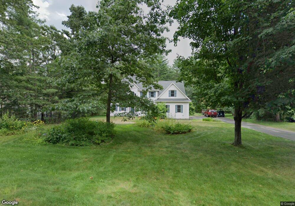
13 Emerson Ln Hollis, NH 03049
Hollis NeighborhoodEstimated Value: $1,027,000 - $1,200,000
5
Beds
3
Baths
3,329
Sq Ft
$339/Sq Ft
Est. Value
About This Home
This home is located at 13 Emerson Ln, Hollis, NH 03049 and is currently estimated at $1,128,911, approximately $339 per square foot. 13 Emerson Ln is a home with nearby schools including Hollis Primary School, Hollis Upper Elementary School, and Hollis-Brookline Middle School.
Ownership History
Date
Name
Owned For
Owner Type
Purchase Details
Closed on
Nov 21, 2000
Sold by
J/J Construction Llc
Bought by
Phillips Whitaker Andrew B and Phillips Whitake Kathy
Current Estimated Value
Home Financials for this Owner
Home Financials are based on the most recent Mortgage that was taken out on this home.
Original Mortgage
$431,850
Outstanding Balance
$157,992
Interest Rate
7.78%
Estimated Equity
$970,919
Create a Home Valuation Report for This Property
The Home Valuation Report is an in-depth analysis detailing your home's value as well as a comparison with similar homes in the area
Home Values in the Area
Average Home Value in this Area
Purchase History
| Date | Buyer | Sale Price | Title Company |
|---|---|---|---|
| Phillips Whitaker Andrew B | $480,000 | -- |
Source: Public Records
Mortgage History
| Date | Status | Borrower | Loan Amount |
|---|---|---|---|
| Open | Phillips Whitaker Andrew B | $431,850 |
Source: Public Records
Tax History Compared to Growth
Tax History
| Year | Tax Paid | Tax Assessment Tax Assessment Total Assessment is a certain percentage of the fair market value that is determined by local assessors to be the total taxable value of land and additions on the property. | Land | Improvement |
|---|---|---|---|---|
| 2024 | $16,058 | $905,700 | $291,400 | $614,300 |
| 2023 | $15,089 | $905,700 | $291,400 | $614,300 |
| 2022 | $20,442 | $905,700 | $291,400 | $614,300 |
| 2021 | $12,975 | $571,600 | $186,700 | $384,900 |
| 2020 | $13,250 | $571,600 | $186,700 | $384,900 |
| 2019 | $13,204 | $571,600 | $186,700 | $384,900 |
| 2018 | $11,883 | $571,600 | $186,700 | $384,900 |
| 2017 | $11,955 | $516,400 | $161,400 | $355,000 |
| 2016 | $12,099 | $516,400 | $161,400 | $355,000 |
| 2015 | $11,888 | $516,400 | $161,400 | $355,000 |
| 2014 | $11,944 | $516,400 | $161,400 | $355,000 |
| 2013 | $11,784 | $516,400 | $161,400 | $355,000 |
Source: Public Records
Map
Nearby Homes
- 206 S Merrimack Rd
- 77 Mooar Hill Rd
- 25 Eastern Ave
- 6 Veterans Rd Unit 15
- 16 Captain Danforth Ln
- 4-13 Woodmont Dr
- 8 Pilgrim Cir
- 15 Four Winds Rd
- 3 Roedean Dr Unit C-207
- 8 Carriage Ln
- 201 Millwright Dr
- 10 Drouin Way
- 218 Millwright Dr Unit 218
- 101-2 Seaverns Bridge Rd
- 103 Seaverns Bridge Rd
- 105 Seaverns Bridge Rd
- 80 Peaslee Rd
- 5 Dumaine Ave Unit B
- 5 Dumaine Ave Unit N
- 1 County Rd
- 17 Emerson Ln
- 11 Emerson Ln
- 19 Emerson Ln
- 146 Witches Spring Rd
- 148 Witches Spring Rd
- 21 Emerson Ln
- 150 Witches Spring Rd
- 3 Emerson Ln
- 25 Emerson Ln
- 39 Emerson Ln
- 35 Emerson Ln
- 37 Emerson Ln
- 33 Emerson Ln
- 4 Emerson Ln
- 27 Emerson Ln
- 29 Emerson Ln
- 3 Fletcher Ln
- 130 Witches Spring Rd
- 151 Witches Spring Rd
- 126 Witches Spring Rd