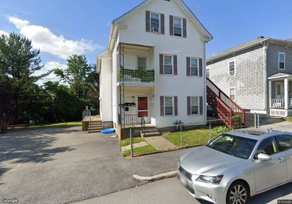
13 Esther St Unit 1 Worcester, MA 01607
Vernon Hill NeighborhoodEstimated Value: $491,000 - $666,000
2
Beds
1
Bath
900
Sq Ft
$648/Sq Ft
Est. Value
About This Home
This home is located at 13 Esther St Unit 1, Worcester, MA 01607 and is currently estimated at $583,153, approximately $647 per square foot. 13 Esther St Unit 1 is a home located in Worcester County with nearby schools including Vernon Hill Elementary School, Jacob Hiatt Magnet School, and Chandler Magnet.
Ownership History
Date
Name
Owned For
Owner Type
Purchase Details
Closed on
Feb 28, 2003
Sold by
Ward Diane V and Ward Karen M
Bought by
Oconnor Jasmine V and Browne Vincent C
Current Estimated Value
Home Financials for this Owner
Home Financials are based on the most recent Mortgage that was taken out on this home.
Original Mortgage
$220,500
Outstanding Balance
$95,484
Interest Rate
5.98%
Mortgage Type
Purchase Money Mortgage
Estimated Equity
$487,669
Purchase Details
Closed on
Oct 25, 1990
Sold by
Stratford Thomas
Bought by
Green Karen M
Home Financials for this Owner
Home Financials are based on the most recent Mortgage that was taken out on this home.
Original Mortgage
$141,419
Interest Rate
10.08%
Mortgage Type
Purchase Money Mortgage
Create a Home Valuation Report for This Property
The Home Valuation Report is an in-depth analysis detailing your home's value as well as a comparison with similar homes in the area
Home Values in the Area
Average Home Value in this Area
Purchase History
| Date | Buyer | Sale Price | Title Company |
|---|---|---|---|
| Oconnor Jasmine V | $245,000 | -- | |
| Green Karen M | $144,000 | -- |
Source: Public Records
Mortgage History
| Date | Status | Borrower | Loan Amount |
|---|---|---|---|
| Open | Green Karen M | $220,500 | |
| Previous Owner | Green Karen M | $30,000 | |
| Previous Owner | Green Karen M | $134,331 | |
| Previous Owner | Green Karen M | $141,419 |
Source: Public Records
Tax History Compared to Growth
Tax History
| Year | Tax Paid | Tax Assessment Tax Assessment Total Assessment is a certain percentage of the fair market value that is determined by local assessors to be the total taxable value of land and additions on the property. | Land | Improvement |
|---|---|---|---|---|
| 2025 | $7,057 | $535,000 | $98,500 | $436,500 |
| 2024 | $6,890 | $501,100 | $98,500 | $402,600 |
| 2023 | $6,378 | $444,800 | $85,700 | $359,100 |
| 2022 | $5,733 | $376,900 | $68,600 | $308,300 |
| 2021 | $4,586 | $281,700 | $54,900 | $226,800 |
| 2020 | $4,315 | $253,800 | $54,500 | $199,300 |
| 2019 | $3,847 | $213,700 | $47,600 | $166,100 |
| 2018 | $3,409 | $180,300 | $47,600 | $132,700 |
| 2017 | $3,256 | $169,400 | $47,600 | $121,800 |
| 2016 | $3,094 | $150,100 | $34,000 | $116,100 |
| 2015 | $3,013 | $150,100 | $34,000 | $116,100 |
| 2014 | $2,933 | $150,100 | $34,000 | $116,100 |
Source: Public Records
Map
Nearby Homes
- 26 Maxwell St
- 32 Ames St
- 216 Providence St
- 17 Thenius St
- 78 Harlem St
- Lot 1 Stockton St
- 70 Sterling St
- 145 Loxwood St
- 55 Whipple St
- 11 Gibbs St Unit 12
- 55 Tennyson St
- 607 Cambridge St Unit 4
- 16 Hillside St
- 32 Kosta St
- 6 Holcombe St
- 8 Taunton St
- 1 N Woodford St
- 96 Vernon St
- 103 Blackstone River Rd
- 17 Riley St