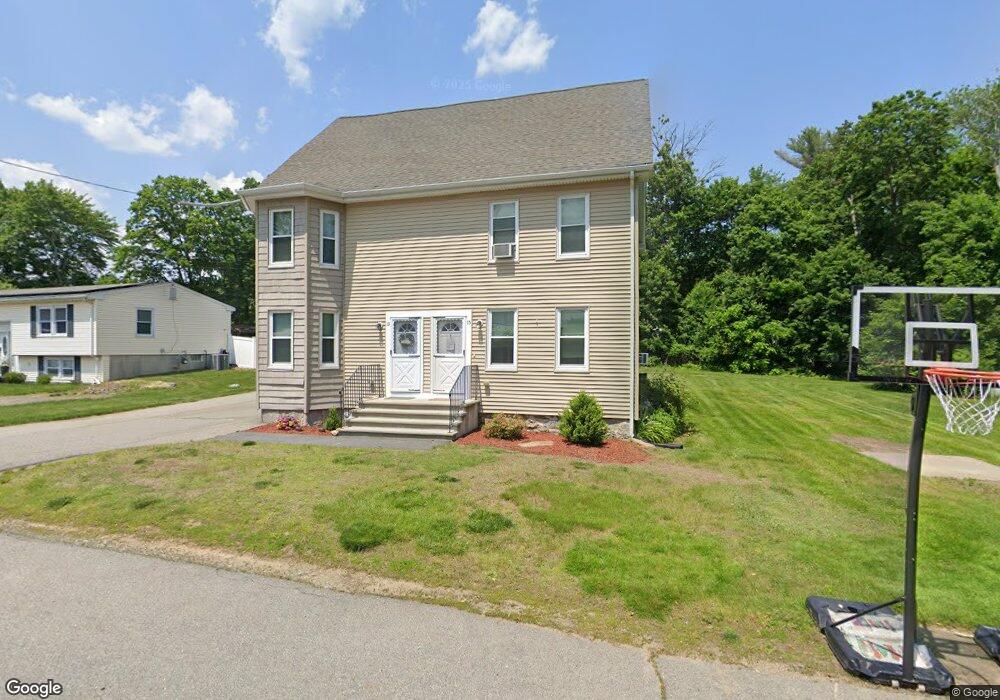
13 Howe St Unit 15 Dracut, MA 01826
Estimated Value: $623,755 - $774,000
4
Beds
3
Baths
2,297
Sq Ft
$312/Sq Ft
Est. Value
About This Home
This home is located at 13 Howe St Unit 15, Dracut, MA 01826 and is currently estimated at $716,689, approximately $312 per square foot. 13 Howe St Unit 15 is a home located in Middlesex County with nearby schools including Brookside Elementary School, Richardson Middle School, and Dracut Senior High School.
Ownership History
Date
Name
Owned For
Owner Type
Purchase Details
Closed on
Jul 16, 2012
Sold by
James M Martin Nt
Bought by
23 Betty Ann Lane Rt
Current Estimated Value
Purchase Details
Closed on
Jan 9, 2009
Sold by
Martin Donna M and Martin James M
Bought by
James M Martin Nt
Purchase Details
Closed on
Aug 29, 2008
Sold by
Suprey John F Jr Est
Bought by
Martin Donna M and Martin James M
Create a Home Valuation Report for This Property
The Home Valuation Report is an in-depth analysis detailing your home's value as well as a comparison with similar homes in the area
Home Values in the Area
Average Home Value in this Area
Purchase History
| Date | Buyer | Sale Price | Title Company |
|---|---|---|---|
| 23 Betty Ann Lane Rt | -- | -- | |
| James M Martin Nt | -- | -- | |
| Martin Donna M | $195,000 | -- |
Source: Public Records
Tax History
| Year | Tax Paid | Tax Assessment Tax Assessment Total Assessment is a certain percentage of the fair market value that is determined by local assessors to be the total taxable value of land and additions on the property. | Land | Improvement |
|---|---|---|---|---|
| 2025 | $6,202 | $612,800 | $202,000 | $410,800 |
| 2024 | $5,981 | $572,300 | $192,400 | $379,900 |
| 2023 | $6,313 | $545,200 | $167,300 | $377,900 |
| 2022 | $5,905 | $480,500 | $152,000 | $328,500 |
| 2021 | $5,584 | $429,200 | $138,200 | $291,000 |
| 2020 | $5,305 | $397,400 | $134,100 | $263,300 |
| 2019 | $4,858 | $353,300 | $127,600 | $225,700 |
| 2018 | $4,661 | $329,600 | $127,600 | $202,000 |
| 2017 | $4,282 | $329,600 | $127,600 | $202,000 |
| 2016 | $4,220 | $284,400 | $122,700 | $161,700 |
| 2015 | $4,246 | $284,400 | $122,700 | $161,700 |
| 2014 | $3,862 | $266,500 | $122,700 | $143,800 |
Source: Public Records
Map
Nearby Homes
- 17 Spare St
- 1905 Lakeview Ave
- 60 Robert St
- 29 Mill St Unit B
- 13 Dallas Dr Unit 305
- 13 Dallas Dr Unit 107
- 53 Vinal St
- 225 Long Pond Dr
- 94 Tennis Plaza Rd Unit 10
- 74 Tennis Plaza Rd Unit 34
- 70 Faith Ave
- 83 Turgeon Ave
- 43 & 53 5th St
- 154 New Boston Rd
- 9 Cornstalk Ln
- 979 Hildreth St
- 19 Louis Farm Rd Unit 19
- 13 Louis Farm Rd Unit 13
- 15 Louis Farm Rd Unit 15
- 109 Navy Yard Rd
Your Personal Tour Guide
Ask me questions while you tour the home.