13 Katama Farm South Rd Edgartown, MA 02539
Edgartown NeighborhoodEstimated Value: $2,392,000 - $4,710,000
3
Beds
2
Baths
1,920
Sq Ft
$1,815/Sq Ft
Est. Value
About This Home
This home is located at 13 Katama Farm South Rd, Edgartown, MA 02539 and is currently estimated at $3,484,415, approximately $1,814 per square foot. 13 Katama Farm South Rd is a home located in Dukes County with nearby schools including Edgartown Elementary School and Martha's Vineyard Regional High School.
Ownership History
Date
Name
Owned For
Owner Type
Purchase Details
Closed on
Sep 21, 1999
Sold by
Shewchuk John P and Shewchuk Susan
Bought by
Greene John K
Current Estimated Value
Home Financials for this Owner
Home Financials are based on the most recent Mortgage that was taken out on this home.
Original Mortgage
$162,500
Outstanding Balance
$48,213
Interest Rate
7.83%
Mortgage Type
Purchase Money Mortgage
Estimated Equity
$3,436,202
Create a Home Valuation Report for This Property
The Home Valuation Report is an in-depth analysis detailing your home's value as well as a comparison with similar homes in the area
Home Values in the Area
Average Home Value in this Area
Purchase History
| Date | Buyer | Sale Price | Title Company |
|---|---|---|---|
| Greene John K | $462,500 | -- |
Source: Public Records
Mortgage History
| Date | Status | Borrower | Loan Amount |
|---|---|---|---|
| Open | Greene John K | $162,500 |
Source: Public Records
Tax History Compared to Growth
Tax History
| Year | Tax Paid | Tax Assessment Tax Assessment Total Assessment is a certain percentage of the fair market value that is determined by local assessors to be the total taxable value of land and additions on the property. | Land | Improvement |
|---|---|---|---|---|
| 2025 | $6,523 | $2,461,400 | $1,389,700 | $1,071,700 |
| 2024 | $5,858 | $2,297,100 | $1,389,700 | $907,400 |
| 2023 | $5,697 | $2,260,900 | $1,399,700 | $861,200 |
| 2022 | $6,114 | $2,017,946 | $1,399,746 | $618,200 |
| 2021 | $6,049 | $1,844,109 | $1,225,909 | $618,200 |
| 2020 | $6,294 | $1,878,822 | $1,387,822 | $491,000 |
| 2019 | $6,197 | $1,601,200 | $1,156,500 | $444,700 |
| 2018 | $5,905 | $1,525,900 | $1,156,500 | $369,400 |
| 2017 | $5,272 | $1,485,100 | $1,124,100 | $361,000 |
| 2016 | $5,042 | $1,392,800 | $985,900 | $406,900 |
| 2015 | $4,286 | $1,235,100 | $943,000 | $292,100 |
Source: Public Records
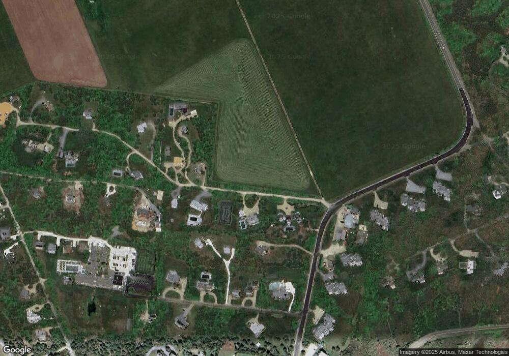
Map
Nearby Homes
- 19 Kitts Field Cir
- 5 Louis Field Rd
- 5 Louis Field Rd Unit 121.3
- 10 Duende Ln
- 1 Louis Field Rd
- 42 Deacon Vincent Way
- 42 Road To the Plains
- 63 Division Rd Unit 46
- 63 Division Rd
- 28 Marthas Rd
- 1 Wilsons Ln
- 11A Duarte Cir
- 58 Marthas Rd
- 58 Marthas Rd Unit 70
- 10 Peases Point Rd
- 48 Edgartown - West Tisbury Rd
- 48 W Tisbury Rd
- 15 Night Heron Rd
- 7 Marthas Rd
- 58 Road To the Plains
- 50 Pohogonot Rd
- 33 Boyston Dr
- 37 Boyston Dr
- 17 Katama Farm South Rd
- 18 Boyston Dr
- 26 Boyston Dr
- 23 Boyston Dr
- 6 Fowler Ln
- 15 17th St S
- 39 Boyston Dr
- 2 Boyston Dr
- 8 Boyston Dr
- 30 Boyston Dr
- 29 Boyston Dr
- 25 Boyston Dr
- 13 Boyston Dr
- 43 Boyston Dr
- 22 Beetle Swamp Rd
- 20 Beetle Swamp Rd
- 24 Beetle Swamp Rd