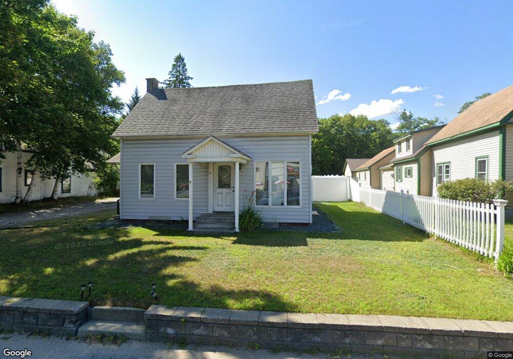
13 Lancaster Rd Gorham, NH 03581
Estimated Value: $127,000 - $254,000
2
Beds
2
Baths
996
Sq Ft
$201/Sq Ft
Est. Value
About This Home
This home is located at 13 Lancaster Rd, Gorham, NH 03581 and is currently estimated at $200,004, approximately $200 per square foot. 13 Lancaster Rd is a home located in Coos County with nearby schools including Edward Fenn Elementary School, Gorham Middle School, and Gorham High School.
Ownership History
Date
Name
Owned For
Owner Type
Purchase Details
Closed on
May 17, 2018
Sold by
Lemieux Maurice P and Lemieux Gisele M
Bought by
Jumpre 3Rd Charles S and Jumpre Maria P
Current Estimated Value
Home Financials for this Owner
Home Financials are based on the most recent Mortgage that was taken out on this home.
Original Mortgage
$94,500
Outstanding Balance
$68,979
Interest Rate
4.4%
Mortgage Type
Purchase Money Mortgage
Estimated Equity
$131,025
Purchase Details
Closed on
Nov 12, 2004
Sold by
Relocation Prudential
Bought by
Lemieux Maurice P and Lemieux Carol M
Create a Home Valuation Report for This Property
The Home Valuation Report is an in-depth analysis detailing your home's value as well as a comparison with similar homes in the area
Home Values in the Area
Average Home Value in this Area
Purchase History
| Date | Buyer | Sale Price | Title Company |
|---|---|---|---|
| Jumpre 3Rd Charles S | $105,000 | -- | |
| Lemieux Maurice P | $50,000 | -- |
Source: Public Records
Mortgage History
| Date | Status | Borrower | Loan Amount |
|---|---|---|---|
| Open | Jumpre 3Rd Charles S | $94,500 |
Source: Public Records
Tax History Compared to Growth
Tax History
| Year | Tax Paid | Tax Assessment Tax Assessment Total Assessment is a certain percentage of the fair market value that is determined by local assessors to be the total taxable value of land and additions on the property. | Land | Improvement |
|---|---|---|---|---|
| 2024 | $3,737 | $132,100 | $24,600 | $107,500 |
| 2023 | $3,243 | $132,100 | $24,600 | $107,500 |
| 2022 | $3,203 | $132,100 | $24,600 | $107,500 |
| 2021 | $2,983 | $83,800 | $19,300 | $64,500 |
| 2020 | $2,669 | $83,800 | $19,300 | $64,500 |
| 2019 | $2,830 | $83,800 | $19,300 | $64,500 |
| 2018 | $3,060 | $83,800 | $19,300 | $64,500 |
| 2017 | $2,845 | $83,800 | $19,300 | $64,500 |
| 2014 | $2,246 | $73,200 | $28,900 | $44,300 |
| 2010 | $1,178 | $49,200 | $23,200 | $26,000 |
Source: Public Records
Map
Nearby Homes
- 23 Pine St
- 240 Main St
- 141 Lancaster Rd Unit 14
- 141 Lancaster Rd Unit TRLR 6
- 141 Lancaster Rd Unit TRLR 1
- 141 Lancaster Rd
- 6 Church St
- 37 Androscoggin St
- 18 Corbin Ave
- 21 Promenade St
- 13 Jewel St
- 31 Glen Rd
- 11 Libby St
- 14 Paradise St
- 29 Washington St
- 5 Gorham Rd
- 56 Bangor St
- 280 Gorham Hill Rd
- 24 Ray St
- 86 Jimtown Rd
- 15 Lancaster Rd
- 11 Lancaster Rd
- 11 Lancaster Rd Unit u19/11
- 12 Lancaster Rd
- 17 Lancaster Rd
- 20 Lancaster Rd
- 25 Lancaster Rd
- 10 Lary St
- 385 Main St
- 391 Main St
- 7 Lancaster Rd
- 7 Lancaster Rd Unit TRLR 7
- 24 Lancaster Rd
- 387 Main St
- 395 Main St
- 397 Main St
- 5 Cross St
- 28 Lancaster Rd
- 14 Cross St
- 399 Main St