13 Lanes End Rd Center Tuftonboro, NH 03816
Estimated Value: $70,902 - $476,000
2
Beds
1
Bath
735
Sq Ft
$281/Sq Ft
Est. Value
About This Home
This home is located at 13 Lanes End Rd, Center Tuftonboro, NH 03816 and is currently estimated at $206,226, approximately $280 per square foot. 13 Lanes End Rd is a home with nearby schools including Tuftonboro Central School, Kingswood Regional Middle School, and Kingswood Regional High School.
Ownership History
Date
Name
Owned For
Owner Type
Purchase Details
Closed on
Sep 1, 2016
Sold by
Robinson Keith A
Bought by
Coccoluto Daniel A and Coccoluto Kimberly F
Current Estimated Value
Purchase Details
Closed on
Aug 6, 2013
Sold by
Deluca Michael R and Deluca Cheryl A
Bought by
Robinson Keith A and Robinson Stephanie M
Purchase Details
Closed on
Aug 7, 2009
Sold by
Pearson Roberta A and Toto Amber D
Bought by
Deluca Michael R and Deluca Cheryl A
Purchase Details
Closed on
May 21, 2007
Sold by
Difiore Dana M and Difiore Catherine J
Bought by
Pearson Robert A
Create a Home Valuation Report for This Property
The Home Valuation Report is an in-depth analysis detailing your home's value as well as a comparison with similar homes in the area
Home Values in the Area
Average Home Value in this Area
Purchase History
| Date | Buyer | Sale Price | Title Company |
|---|---|---|---|
| Coccoluto Daniel A | $32,933 | -- | |
| Robinson Keith A | $19,000 | -- | |
| Deluca Michael R | $18,500 | -- | |
| Pearson Robert A | $28,000 | -- |
Source: Public Records
Tax History Compared to Growth
Tax History
| Year | Tax Paid | Tax Assessment Tax Assessment Total Assessment is a certain percentage of the fair market value that is determined by local assessors to be the total taxable value of land and additions on the property. | Land | Improvement |
|---|---|---|---|---|
| 2024 | $436 | $57,200 | $0 | $57,200 |
| 2023 | $416 | $57,200 | $0 | $57,200 |
| 2022 | $368 | $57,200 | $0 | $57,200 |
| 2021 | $388 | $38,500 | $0 | $38,500 |
| 2020 | $368 | $38,500 | $0 | $38,500 |
| 2019 | $389 | $38,500 | $0 | $38,500 |
| 2018 | $338 | $30,200 | $0 | $30,200 |
| 2017 | $325 | $30,200 | $0 | $30,200 |
| 2016 | $315 | $30,200 | $0 | $30,200 |
| 2015 | $314 | $30,200 | $0 | $30,200 |
| 2014 | $302 | $30,200 | $0 | $30,200 |
| 2012 | $324 | $35,400 | $0 | $35,400 |
Source: Public Records
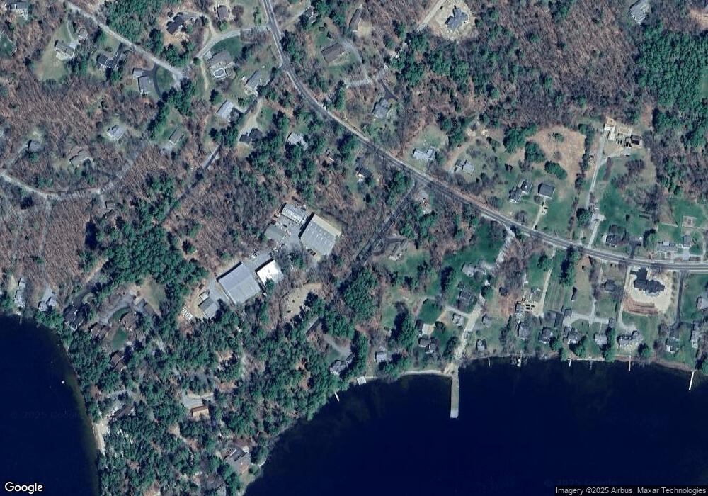
Map
Nearby Homes
- 7 Flint Dr
- 4 Mill Pond Rd
- 4 Partridge Berry Cir
- 3 Mountain Shadows Dr Unit 2
- 14 Island View Dr
- 323 Governor Wentworth Hwy
- 9 Lady Slipper Ln
- 7 Lady Slipper Ln
- 24 Shirley Way
- 00 Beede Rd
- 16 Long Island Rd
- 27 First Point Rd
- Lot 4 Vere Royce Rd
- 10 Woodridge Rd
- 167 Long Island Rd
- Lot 25 Ridge Field Rd
- 61 Dame Rd
- 2 Oak Leaf Ave
- 31 Rays Way
- 122-001-002 Governor Wentworth Hwy
- 12 Lanes End Rd Unit 12
- 13 Lanes End Rd
- 4 Lanes End Rd
- 10 Lanes End Rd
- 19 Lanes End Rd Unit 14
- 19 Lanes End Rd Unit 7
- 19 Lanes End Rd Unit 5
- 19 Lanes End Rd Unit 15
- 19 Lanes End Unit 12 Unit 12
- 19 Lanes End Unit 12
- 8 Lanes End Rd
- 4 Lanes End Rd
- 15 Lanes End Rd Unit 15
- 5 Flint Dr
- 510 Governor Wentworth Hwy
- 512 Governor Wentworth Hwy
- 5 Melvin Wharf Rd
- 9 Harvest Ln
- 7 Flint Dr
- 9 Harvest Ln