Estimated Value: $314,000 - $356,000
3
Beds
1
Bath
1,248
Sq Ft
$270/Sq Ft
Est. Value
About This Home
This home is located at 13 Longview Ave, Ware, MA 01082 and is currently estimated at $337,483, approximately $270 per square foot. 13 Longview Ave is a home located in Hampshire County with nearby schools including Stanley M. Koziol Elementary School, Ware Middle School, and Ware Junior/Senior High School.
Ownership History
Date
Name
Owned For
Owner Type
Purchase Details
Closed on
Jun 25, 2024
Sold by
Roberts-Perrault M E
Bought by
Perrault Craig S and Perrault M R
Current Estimated Value
Purchase Details
Closed on
May 25, 2001
Sold by
Obrien James E
Bought by
Roberts Michelle E
Home Financials for this Owner
Home Financials are based on the most recent Mortgage that was taken out on this home.
Original Mortgage
$115,000
Interest Rate
7.05%
Mortgage Type
Purchase Money Mortgage
Create a Home Valuation Report for This Property
The Home Valuation Report is an in-depth analysis detailing your home's value as well as a comparison with similar homes in the area
Home Values in the Area
Average Home Value in this Area
Purchase History
| Date | Buyer | Sale Price | Title Company |
|---|---|---|---|
| Perrault Craig S | -- | None Available | |
| Perrault Craig S | -- | None Available | |
| Roberts Michelle E | $110,000 | -- | |
| Roberts Michelle E | $110,000 | -- |
Source: Public Records
Mortgage History
| Date | Status | Borrower | Loan Amount |
|---|---|---|---|
| Previous Owner | Roberts Michelle E | $110,000 | |
| Previous Owner | Roberts Michelle E | $115,000 |
Source: Public Records
Tax History
| Year | Tax Paid | Tax Assessment Tax Assessment Total Assessment is a certain percentage of the fair market value that is determined by local assessors to be the total taxable value of land and additions on the property. | Land | Improvement |
|---|---|---|---|---|
| 2025 | $4,048 | $268,800 | $51,700 | $217,100 |
| 2024 | $3,900 | $238,800 | $48,800 | $190,000 |
| 2023 | $3,865 | $223,900 | $46,900 | $177,000 |
| 2022 | $3,750 | $193,900 | $43,500 | $150,400 |
| 2021 | $3,636 | $180,200 | $43,500 | $136,700 |
| 2020 | $3,542 | $171,700 | $43,500 | $128,200 |
| 2019 | $3,470 | $171,700 | $43,500 | $128,200 |
| 2018 | $3,359 | $162,200 | $42,400 | $119,800 |
| 2017 | $3,207 | $154,400 | $45,100 | $109,300 |
| 2016 | $3,120 | $154,400 | $45,100 | $109,300 |
| 2015 | $3,034 | $154,400 | $45,100 | $109,300 |
| 2014 | $2,849 | $155,600 | $38,800 | $116,800 |
Source: Public Records
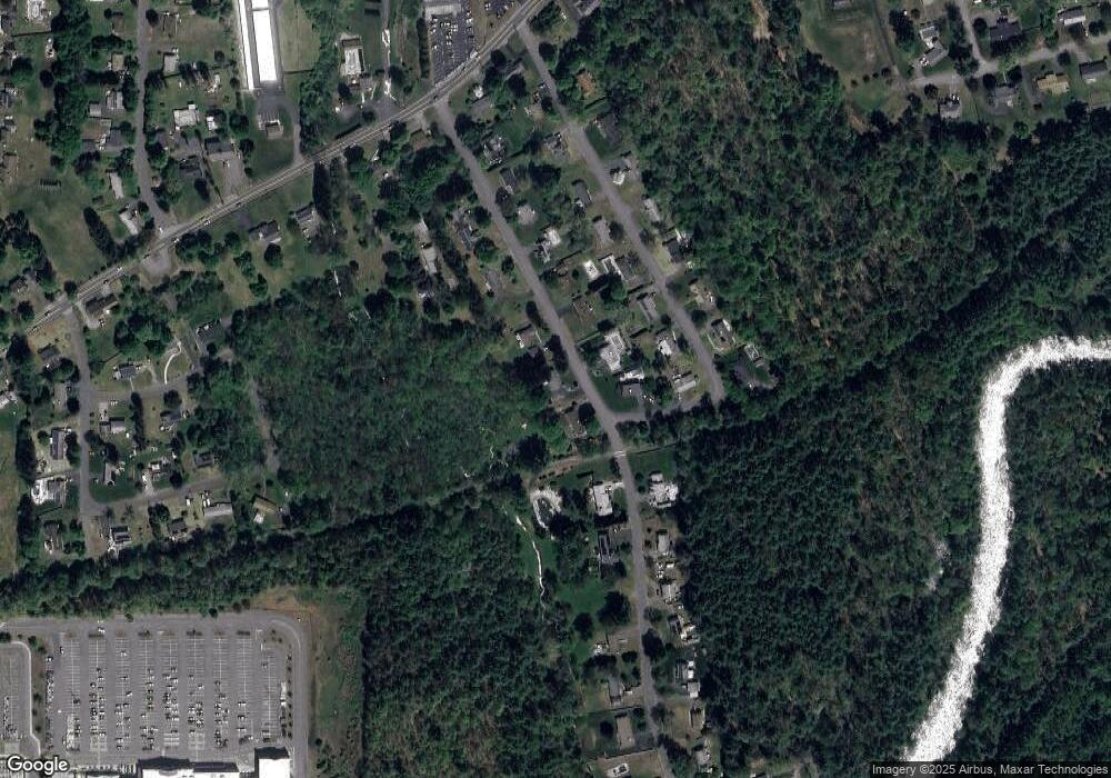
Map
Nearby Homes
- 310 Palmer Rd
- 201 West St
- LOT 3 Monson Turnpike Rd
- 201 Belchertown Rd
- 67 Babcock Tavern Rd
- 378 Rondeau St
- Lot 16 Coldbrook Dr
- Lot 20 Coldbrook Dr
- Lot 22 Coldbrook Dr
- Lot 13 Coldbrook Dr
- Lot 25 Coldbrook Dr
- 375 Belchertown Rd
- 24 Clinton St
- 87 W Main St
- 30 Warebrook Village
- Lot 5 Babcock Tavern Rd
- Lot 4 Babcock Tavern Rd
- 57 Babcock Tavern Rd
- 49 Babcock Tavern Rd
- 23 West St Unit 25
- 14 Longview Ave
- 15 Longview Ave
- 11 Longview Ave
- 19 Woodland Heights
- 12 Longview Ave
- 10 Longview Ave
- 15 Woodland Heights
- 7 Longview Ave
- 13 Woodland Heights
- 17 Woodland Heights
- 8 Longview Ave
- 16 Westbrook Ave
- 9 Woodland Heights
- 12 Woodland Heights
- 14 Woodland Heights Unit 1
- 6 Longview Ave
- 10 Woodland Heights
- 316 Palmer Rd
- 16 Woodland Heights
- 5 Longview Ave
Your Personal Tour Guide
Ask me questions while you tour the home.