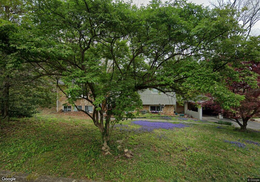
13 Moore Ln Oak Ridge, TN 37830
Estimated Value: $403,000 - $410,000
4
Beds
3
Baths
2,255
Sq Ft
$180/Sq Ft
Est. Value
About This Home
This home is located at 13 Moore Ln, Oak Ridge, TN 37830 and is currently estimated at $405,488, approximately $179 per square foot. 13 Moore Ln is a home located in Anderson County with nearby schools including Linden Elementary, Robertsville Middle School, and Oak Ridge High School.
Ownership History
Date
Name
Owned For
Owner Type
Purchase Details
Closed on
Apr 12, 2013
Sold by
Phillips Julie Vanessa
Bought by
Phillips Brian Keith
Current Estimated Value
Purchase Details
Closed on
Aug 11, 2005
Sold by
Field Frank H
Bought by
Phillips Brian K
Home Financials for this Owner
Home Financials are based on the most recent Mortgage that was taken out on this home.
Original Mortgage
$115,200
Interest Rate
5.48%
Purchase Details
Closed on
Sep 5, 1989
Bought by
Field Frank H and Field Wife Carolyn J
Create a Home Valuation Report for This Property
The Home Valuation Report is an in-depth analysis detailing your home's value as well as a comparison with similar homes in the area
Home Values in the Area
Average Home Value in this Area
Purchase History
| Date | Buyer | Sale Price | Title Company |
|---|---|---|---|
| Phillips Brian Keith | -- | -- | |
| Phillips Brian K | $144,000 | -- | |
| Field Frank H | $93,000 | -- |
Source: Public Records
Mortgage History
| Date | Status | Borrower | Loan Amount |
|---|---|---|---|
| Previous Owner | Field Frank H | $115,200 |
Source: Public Records
Tax History
| Year | Tax Paid | Tax Assessment Tax Assessment Total Assessment is a certain percentage of the fair market value that is determined by local assessors to be the total taxable value of land and additions on the property. | Land | Improvement |
|---|---|---|---|---|
| 2025 | $1,227 | $98,425 | $15,625 | $82,800 |
| 2024 | $1,227 | $49,950 | $7,800 | $42,150 |
| 2023 | $1,227 | $49,950 | $0 | $0 |
| 2022 | $2,383 | $49,950 | $7,800 | $42,150 |
| 2021 | $2,383 | $49,950 | $7,800 | $42,150 |
| 2020 | $2,130 | $49,950 | $7,800 | $42,150 |
| 2019 | $2,180 | $41,475 | $7,100 | $34,375 |
| 2018 | $2,129 | $41,475 | $7,100 | $34,375 |
| 2017 | $2,121 | $41,475 | $7,100 | $34,375 |
| 2016 | $2,121 | $41,475 | $7,100 | $34,375 |
| 2015 | -- | $41,475 | $7,100 | $34,375 |
| 2014 | -- | $41,475 | $7,100 | $34,375 |
| 2013 | -- | $43,500 | $0 | $0 |
Source: Public Records
Map
Nearby Homes
- 558560 W Outer Dr
- 103 Middlebury Rd
- 206 Bunker Ln
- 119 Briar Rd
- 725 Robertsville Rd
- 118 Mohawk Rd
- 106 Wood Ridge Ln
- 26 Lindale Ln
- 111 Old Evacuation Ln
- 247 Mahoney Rd
- 125 Wendover Cir
- 2210 Oak Ridge Turnpike
- 101 Nathan Ln
- 104 Macon Ln
- 108 Nathan Ln
- 131 Lancaster Rd
- 442 Robertsville Rd
- 118 W Melbourne Rd
- 757 W Outer Dr
- 421 Sunflower Ln
- 15 Moore Ln
- 123 E Morningside Dr
- 14 Moore Ln
- 16 Moore Ln
- 12 Moore Ln
- 121 Morningside Dr
- 10 Moore Ln
- 18 Moore Ln
- 17 Moore Ln
- Lot 555d Morningside Dr
- 126 Morningside Dr
- 128 Morningside Dr
- 20 Moore Ln
- 19 Moore Ln
- 124 E Morningside Dr
- 119 E Morningside Dr
- 129 Morningside Dr
- 20 Monaco Ln
- 113 Morgan Rd
- 18 Monaco Ln
Your Personal Tour Guide
Ask me questions while you tour the home.