Estimated Value: $711,000 - $813,000
4
Beds
3
Baths
2,528
Sq Ft
$299/Sq Ft
Est. Value
About This Home
This home is located at 13 One Stack Dr, Bow, NH 03304 and is currently estimated at $756,435, approximately $299 per square foot. 13 One Stack Dr is a home located in Merrimack County with nearby schools including Bow Elementary School, Bow Memorial School, and Bow High School.
Ownership History
Date
Name
Owned For
Owner Type
Purchase Details
Closed on
Dec 4, 2018
Sold by
Keef Angela D and Keef Christopher J
Bought by
Keef Angela D 2015 T
Current Estimated Value
Purchase Details
Closed on
May 13, 2013
Sold by
Ryan John F and Ryan Lorraine C
Bought by
Keef Christopher J and Keef Angela D
Create a Home Valuation Report for This Property
The Home Valuation Report is an in-depth analysis detailing your home's value as well as a comparison with similar homes in the area
Home Values in the Area
Average Home Value in this Area
Purchase History
| Date | Buyer | Sale Price | Title Company |
|---|---|---|---|
| Keef Angela D 2015 T | -- | -- | |
| Keef Angela D 2015 T | -- | -- | |
| Keef Christopher J | $265,000 | -- | |
| Keef Christopher J | $265,000 | -- |
Source: Public Records
Mortgage History
| Date | Status | Borrower | Loan Amount |
|---|---|---|---|
| Closed | Keef Christopher J | $0 |
Source: Public Records
Tax History
| Year | Tax Paid | Tax Assessment Tax Assessment Total Assessment is a certain percentage of the fair market value that is determined by local assessors to be the total taxable value of land and additions on the property. | Land | Improvement |
|---|---|---|---|---|
| 2025 | $13,983 | $697,400 | $155,400 | $542,000 |
| 2024 | $13,795 | $697,400 | $155,400 | $542,000 |
| 2023 | $11,494 | $413,300 | $103,600 | $309,700 |
| 2022 | $10,961 | $413,300 | $103,600 | $309,700 |
| 2021 | $10,456 | $410,200 | $103,600 | $306,600 |
| 2020 | $10,493 | $410,200 | $103,600 | $306,600 |
| 2019 | $10,751 | $410,200 | $103,600 | $306,600 |
| 2018 | $9,854 | $354,700 | $94,900 | $259,800 |
| 2017 | $8,814 | $317,400 | $94,900 | $222,500 |
| 2016 | $8,344 | $317,400 | $94,900 | $222,500 |
| 2015 | $8,525 | $298,700 | $94,900 | $203,800 |
| 2014 | $8,676 | $294,000 | $94,900 | $199,100 |
| 2011 | $8,769 | $323,000 | $95,100 | $227,900 |
Source: Public Records
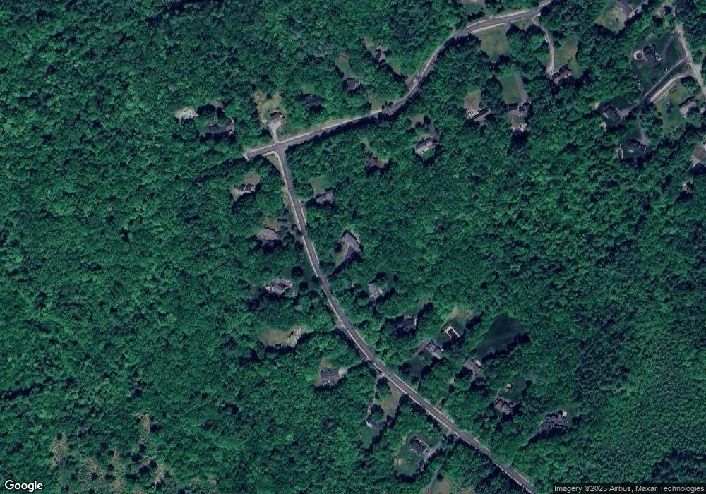
Map
Nearby Homes
- 8 Longview Dr
- 13 Birchdale Rd
- 192 Grapevine Rd
- 13 van Ger Dr
- 66 Winslow Rd
- 0 Brown Hill Rd Unit 5032600
- 107 Page Rd
- 77 White Rock Hill Rd
- 14-2 Jewett Rd
- 99 Brown Hill Rd
- 104 White Rock Hill Rd
- 40 N Woods Rd
- 4 Bow Center Rd Unit F2
- 1003 School St
- 5 Windchime Dr
- 165 Robert Rogers Rd
- 22 Bow Bog Rd
- 6 Reserve Place
- 289 South St
- 40 Nivelle St
Your Personal Tour Guide
Ask me questions while you tour the home.