13 Riverside Dr Pawcatuck, CT 06379
Estimated Value: $832,000 - $2,343,000
3
Beds
3
Baths
2,518
Sq Ft
$659/Sq Ft
Est. Value
About This Home
This home is located at 13 Riverside Dr, Pawcatuck, CT 06379 and is currently estimated at $1,659,757, approximately $659 per square foot. 13 Riverside Dr is a home located in New London County with nearby schools including Stonington Middle School, Stonington High School, and Pine Point School.
Ownership History
Date
Name
Owned For
Owner Type
Purchase Details
Closed on
Jan 17, 2014
Sold by
Horrigan Kevin and Horrigan Anita
Bought by
Anita Horrigan Ret and Horrigan
Current Estimated Value
Purchase Details
Closed on
Nov 25, 1992
Sold by
Taylor Nancy
Bought by
Horrigan Kevin
Home Financials for this Owner
Home Financials are based on the most recent Mortgage that was taken out on this home.
Original Mortgage
$448,000
Interest Rate
5%
Mortgage Type
Unknown
Create a Home Valuation Report for This Property
The Home Valuation Report is an in-depth analysis detailing your home's value as well as a comparison with similar homes in the area
Home Values in the Area
Average Home Value in this Area
Purchase History
| Date | Buyer | Sale Price | Title Company |
|---|---|---|---|
| Anita Horrigan Ret | -- | -- | |
| Anita Horrigan Ret | -- | -- | |
| Horrigan Kevin | $560,000 | -- | |
| Horrigan Kevin | $560,000 | -- |
Source: Public Records
Mortgage History
| Date | Status | Borrower | Loan Amount |
|---|---|---|---|
| Previous Owner | Horrigan Kevin | $448,000 |
Source: Public Records
Tax History
| Year | Tax Paid | Tax Assessment Tax Assessment Total Assessment is a certain percentage of the fair market value that is determined by local assessors to be the total taxable value of land and additions on the property. | Land | Improvement |
|---|---|---|---|---|
| 2025 | $22,346 | $1,166,900 | $812,900 | $354,000 |
| 2024 | $21,389 | $1,166,900 | $812,900 | $354,000 |
| 2023 | $21,191 | $1,166,900 | $812,900 | $354,000 |
| 2022 | $23,574 | $962,600 | $710,000 | $252,600 |
| 2021 | $23,767 | $962,600 | $710,000 | $252,600 |
| 2020 | $23,266 | $962,600 | $710,000 | $252,600 |
| 2019 | $23,420 | $962,600 | $710,000 | $252,600 |
| 2018 | $22,631 | $962,600 | $710,000 | $252,600 |
| 2017 | $22,727 | $952,500 | $710,000 | $242,500 |
| 2016 | $21,965 | $952,500 | $710,000 | $242,500 |
| 2015 | $21,022 | $952,500 | $710,000 | $242,500 |
| 2014 | $20,174 | $952,500 | $710,000 | $242,500 |
Source: Public Records
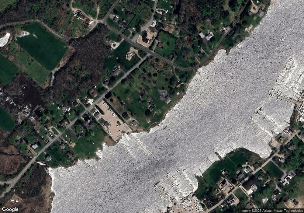
Map
Nearby Homes
- 417 River Rd
- 60 Avondale Rd
- 16 Green Ave
- 0 Green Ave
- 9 Champlin Dr
- 4 Quail Run
- 4 Shore Rd
- 45 Summertime Cir
- 23 Summertime Cir
- 22 Summertime Cir
- 38 Summertime Cir
- 25 Summertime Cir
- 39 Summertime Cir
- 20 Browning Rd
- 10 Tristam St
- 18 Timothy Dr
- 27 Benson Ave
- 9 Compass Way Unit 201
- 9 Compass Way Unit 202
- 9 Compass Way Unit 101
- 23 Riverside Dr
- 7 Riverside Dr
- 22 Riverside Dr
- 606 Greenhaven Rd
- 6 Riverside Dr
- 16 Riverside Dr
- 26 Riverside Dr
- 35 Riverside Dr
- 32 Riverside Dr
- 595 Greenhaven Rd
- 0 Riverside Dr
- 34 Riverside Dr
- 607 Greenhaven Rd
- 599 Greenhaven Rd
- 41 Riverside Dr
- 42 Riverside Dr
- 582 Greenhaven Rd
- 589 Greenhaven Rd
- 45 Riverside Dr
- 430 River Rd
Your Personal Tour Guide
Ask me questions while you tour the home.