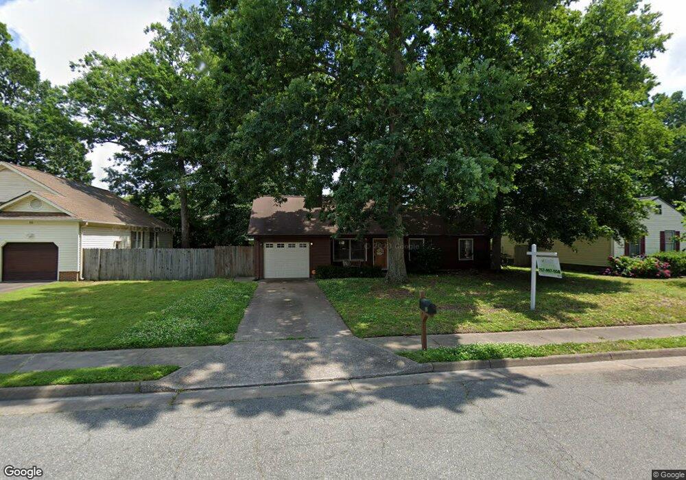
13 Roberts Trace Hampton, VA 23666
Northampton NeighborhoodEstimated Value: $306,000 - $319,000
3
Beds
2
Baths
1,300
Sq Ft
$239/Sq Ft
Est. Value
About This Home
This home is located at 13 Roberts Trace, Hampton, VA 23666 and is currently estimated at $311,215, approximately $239 per square foot. 13 Roberts Trace is a home located in Hampton City with nearby schools including Tucker-Capps Elementary School, Forrest Elementary School, and Cesar Tarrant Middle School.
Ownership History
Date
Name
Owned For
Owner Type
Purchase Details
Closed on
Jul 3, 2023
Sold by
Moser Kimberly J
Bought by
Osentowski Cannon P and Osentowski Marielle G
Current Estimated Value
Home Financials for this Owner
Home Financials are based on the most recent Mortgage that was taken out on this home.
Original Mortgage
$286,020
Outstanding Balance
$278,914
Interest Rate
6.57%
Mortgage Type
VA
Estimated Equity
$32,301
Purchase Details
Closed on
Apr 11, 2020
Sold by
Bressette Walter E and Hartzheim Mary L
Bought by
Moser Kimberly J
Home Financials for this Owner
Home Financials are based on the most recent Mortgage that was taken out on this home.
Original Mortgage
$223,014
Interest Rate
3.2%
Mortgage Type
VA
Create a Home Valuation Report for This Property
The Home Valuation Report is an in-depth analysis detailing your home's value as well as a comparison with similar homes in the area
Home Values in the Area
Average Home Value in this Area
Purchase History
| Date | Buyer | Sale Price | Title Company |
|---|---|---|---|
| Osentowski Cannon P | $280,000 | Fidelity National Title | |
| Moser Kimberly J | $218,000 | Attorney |
Source: Public Records
Mortgage History
| Date | Status | Borrower | Loan Amount |
|---|---|---|---|
| Open | Osentowski Cannon P | $286,020 | |
| Previous Owner | Moser Kimberly J | $223,014 |
Source: Public Records
Tax History
| Year | Tax Paid | Tax Assessment Tax Assessment Total Assessment is a certain percentage of the fair market value that is determined by local assessors to be the total taxable value of land and additions on the property. | Land | Improvement |
|---|---|---|---|---|
| 2025 | $3,428 | $311,600 | $70,000 | $241,600 |
| 2024 | $3,008 | $261,600 | $70,000 | $191,600 |
| 2023 | $2,919 | $251,600 | $60,000 | $191,600 |
| 2022 | $2,798 | $237,100 | $55,000 | $182,100 |
| 2021 | $2,738 | $210,300 | $50,000 | $160,300 |
| 2020 | $2,371 | $191,200 | $50,000 | $141,200 |
| 2019 | $2,398 | $193,400 | $50,000 | $143,400 |
| 2018 | $2,343 | $181,400 | $45,000 | $136,400 |
| 2017 | $2,343 | $0 | $0 | $0 |
| 2016 | $2,343 | $181,400 | $0 | $0 |
| 2015 | $2,343 | $0 | $0 | $0 |
| 2014 | $2,265 | $170,700 | $45,800 | $124,900 |
Source: Public Records
Map
Nearby Homes
- 15 Roberts Trace
- 11 Roberts Trace
- 17 Roberts Trace
- 9 Roberts Trace
- 14 Roberts Trace
- 12 Roberts Trace
- 16 Roberts Trace
- 19 Roberts Trace
- 7 Roberts Trace
- 2 Leahs Trace
- 21 Roberts Trace
- 5 Roberts Trace
- 5 Freedom Cir
- 837 Sharpley Ave
- 835 Sharpley Ave
- 3 Freedom Cir
- 839 Sharpley Ave
- 6 Freedom Cir
- 3 Roberts Trace
- 6 Leahs Trace
Your Personal Tour Guide
Ask me questions while you tour the home.