13 S Shore Rd Thompson, CT 06277
Estimated Value: $313,322 - $399,000
3
Beds
1
Bath
1,423
Sq Ft
$258/Sq Ft
Est. Value
About This Home
This home is located at 13 S Shore Rd, Thompson, CT 06277 and is currently estimated at $366,581, approximately $257 per square foot. 13 S Shore Rd is a home located in Windham County with nearby schools including Mary R. Fisher Elementary School, Thompson Middle School, and Tourtellotte Memorial High School.
Ownership History
Date
Name
Owned For
Owner Type
Purchase Details
Closed on
Nov 29, 2018
Sold by
Cheever Leroy P and Cheever Patricia A
Bought by
Cheever Keith A and Dimambro Lisa M
Current Estimated Value
Purchase Details
Closed on
Nov 2, 1970
Bought by
Cheever Leroy P and Cheever Patricia A
Create a Home Valuation Report for This Property
The Home Valuation Report is an in-depth analysis detailing your home's value as well as a comparison with similar homes in the area
Home Values in the Area
Average Home Value in this Area
Purchase History
| Date | Buyer | Sale Price | Title Company |
|---|---|---|---|
| Cheever Keith A | -- | -- | |
| Cheever Keith A | -- | -- | |
| Cheever Leroy P | -- | -- |
Source: Public Records
Mortgage History
| Date | Status | Borrower | Loan Amount |
|---|---|---|---|
| Previous Owner | Cheever Leroy P | $35,000 |
Source: Public Records
Tax History
| Year | Tax Paid | Tax Assessment Tax Assessment Total Assessment is a certain percentage of the fair market value that is determined by local assessors to be the total taxable value of land and additions on the property. | Land | Improvement |
|---|---|---|---|---|
| 2025 | $3,386 | $178,200 | $50,300 | $127,900 |
| 2024 | $3,432 | $122,100 | $36,400 | $85,700 |
| 2023 | $3,175 | $122,100 | $36,400 | $85,700 |
| 2022 | $3,055 | $122,100 | $36,400 | $85,700 |
| 2021 | $3,046 | $122,100 | $36,400 | $85,700 |
| 2020 | $2,958 | $122,100 | $36,400 | $85,700 |
| 2019 | $3,041 | $109,600 | $38,600 | $71,000 |
| 2018 | $3,041 | $109,600 | $38,600 | $71,000 |
| 2017 | $2,856 | $109,600 | $38,600 | $71,000 |
| 2016 | $2,856 | $109,600 | $38,600 | $71,000 |
| 2015 | $2,718 | $109,600 | $38,600 | $71,000 |
| 2014 | $2,676 | $117,000 | $40,700 | $76,300 |
Source: Public Records
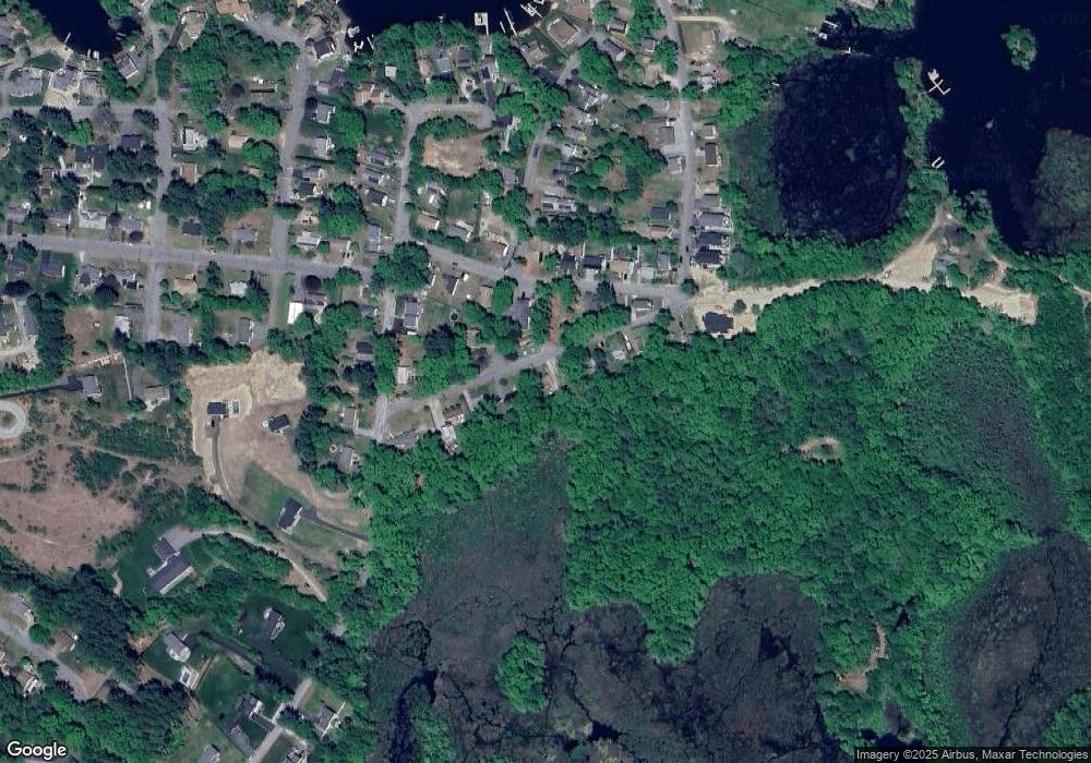
Map
Nearby Homes
- 16 Black Point Rd
- 38 Colonial Rd
- 18 Leon St
- 22 Pattison Rd
- 1350 Thompson Rd
- 13 S Point Rd
- 9 Becola Rd
- 24 Cooper Rd
- 195 Lower Gore Rd
- 114 Upper Gore Rd
- 45 Point Pleasant Rd
- 14 Liberty Ln
- 0 Porter Plain Rd
- 0 Thompson Rd
- 117 New Rd
- 204 Treasure Island Rd
- 3 Upper Gore Rd
- 12 Cedar Dr
- 597 E Thompson Rd Unit Lot 10C
- 23 Lakeview Rd
- 15 S Shore Rd
- 26 S Shore Rd
- 17 S Shore Rd
- 9 S Shore Rd
- 21 S Shore Rd
- 0 Colonial Rd
- 0 Colonial Rd Unit 70920655
- 20 S Shore Rd
- 3 Colonial Ave Unit 2
- 7 S Shore Rd
- 2 Colonial Ave
- 1 Colonial Rd
- 23 S Shore Rd
- 5 S Shore Rd
- 11 Jackson Rd
- 6 Jackson Rd
- 17 Jackson Rd
- LOT 2 Black Point Rd
- 29 S Shore Rd
- 2 S Shore Rd
Your Personal Tour Guide
Ask me questions while you tour the home.