13 Taconic Rd Worcester, MA 01605
Estimated Value: $556,000 - $596,000
4
Beds
3
Baths
2,485
Sq Ft
$232/Sq Ft
Est. Value
About This Home
This home is located at 13 Taconic Rd, Worcester, MA 01605 and is currently estimated at $575,861, approximately $231 per square foot. 13 Taconic Rd is a home located in Worcester County with nearby schools including Jacob Hiatt Magnet School, Chandler Magnet, and Lake View Elementary School.
Ownership History
Date
Name
Owned For
Owner Type
Purchase Details
Closed on
Feb 21, 2006
Sold by
Hammond Eugene F
Bought by
Flanders Gene H
Current Estimated Value
Purchase Details
Closed on
Aug 30, 2002
Sold by
Black Angela
Bought by
Flanders Gene H and Hammond Eugene F
Home Financials for this Owner
Home Financials are based on the most recent Mortgage that was taken out on this home.
Original Mortgage
$266,950
Interest Rate
6.55%
Mortgage Type
Purchase Money Mortgage
Create a Home Valuation Report for This Property
The Home Valuation Report is an in-depth analysis detailing your home's value as well as a comparison with similar homes in the area
Purchase History
| Date | Buyer | Sale Price | Title Company |
|---|---|---|---|
| Flanders Gene H | $31,290 | -- | |
| Flanders Gene H | $281,000 | -- |
Source: Public Records
Mortgage History
| Date | Status | Borrower | Loan Amount |
|---|---|---|---|
| Open | Flanders Gene H | $241,925 | |
| Previous Owner | Flanders Gene H | $266,950 |
Source: Public Records
Tax History
| Year | Tax Paid | Tax Assessment Tax Assessment Total Assessment is a certain percentage of the fair market value that is determined by local assessors to be the total taxable value of land and additions on the property. | Land | Improvement |
|---|---|---|---|---|
| 2025 | $7,298 | $553,331 | $122,231 | $431,100 |
| 2024 | $7,072 | $514,331 | $122,231 | $392,100 |
| 2023 | $6,927 | $483,066 | $105,266 | $377,800 |
| 2022 | $6,086 | $400,113 | $84,213 | $315,900 |
| 2021 | $6,119 | $375,841 | $67,341 | $308,500 |
| 2020 | $5,867 | $345,100 | $67,200 | $277,900 |
| 2019 | $6,043 | $335,700 | $64,700 | $271,000 |
| 2018 | $6,068 | $320,900 | $64,700 | $256,200 |
| 2017 | $5,795 | $301,500 | $64,700 | $236,800 |
| 2016 | $5,917 | $287,100 | $52,200 | $234,900 |
| 2015 | $5,762 | $287,100 | $52,200 | $234,900 |
| 2014 | $5,610 | $287,100 | $52,200 | $234,900 |
Source: Public Records
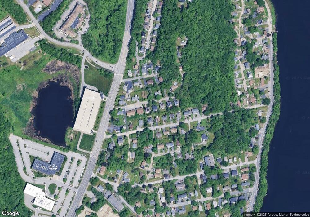
Map
Nearby Homes
- 64 Wauwinet Rd
- 29 Dominion Rd
- 91-93 Natural History Dr
- 7 Eaglehead Terrace Unit 6
- 2 Teconnett Path
- 340 Lake Ave N
- 40 Phillips Ave
- 19 Marietta Ave
- 17 Goucher Ave
- 35 Dustin St
- 30-32 Dewey Rd
- 65 Lake Ave Unit 1008
- 65 Lake Ave Unit 510
- 51 Alvarado Ave Unit 204
- 18 Shrewsbury Green Dr Unit I
- 60 Shrewsbury Green Dr Unit B
- 30 Shrewsbury Green Dr Unit K
- 655 Plantation St Unit 20B
- 42 Shrewsbury Green Dr Unit I
- 44 Shrewsbury Green Dr Unit B
Your Personal Tour Guide
Ask me questions while you tour the home.