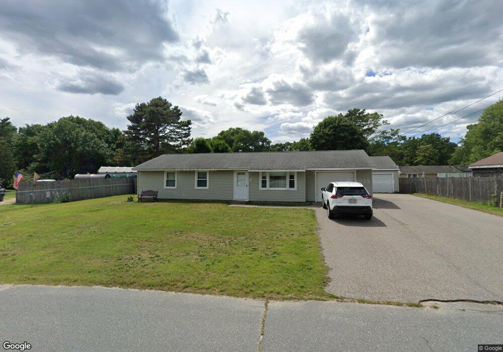
13 Terry Ln E Wareham, MA 02571
Weweantic NeighborhoodEstimated Value: $406,000 - $472,000
3
Beds
1
Bath
1,008
Sq Ft
$437/Sq Ft
Est. Value
About This Home
This home is located at 13 Terry Ln E, Wareham, MA 02571 and is currently estimated at $440,092, approximately $436 per square foot. 13 Terry Ln E is a home located in Plymouth County with nearby schools including Tabor Academy.
Ownership History
Date
Name
Owned For
Owner Type
Purchase Details
Closed on
Oct 19, 2018
Sold by
Kelley James G and Kelley Norma J
Bought by
James G G and James Norma J
Current Estimated Value
Purchase Details
Closed on
Jul 6, 2006
Sold by
Kelley James G
Bought by
Kelley James G and Kelley Norma J
Create a Home Valuation Report for This Property
The Home Valuation Report is an in-depth analysis detailing your home's value as well as a comparison with similar homes in the area
Home Values in the Area
Average Home Value in this Area
Purchase History
| Date | Buyer | Sale Price | Title Company |
|---|---|---|---|
| James G G | -- | -- | |
| James G G | -- | -- | |
| Kelley James G | -- | -- | |
| Kelley James G | -- | -- |
Source: Public Records
Mortgage History
| Date | Status | Borrower | Loan Amount |
|---|---|---|---|
| Previous Owner | Kelley James G | $30,000 | |
| Previous Owner | Kelley James G | $20,000 |
Source: Public Records
Tax History
| Year | Tax Paid | Tax Assessment Tax Assessment Total Assessment is a certain percentage of the fair market value that is determined by local assessors to be the total taxable value of land and additions on the property. | Land | Improvement |
|---|---|---|---|---|
| 2025 | $3,945 | $378,600 | $109,900 | $268,700 |
| 2024 | $3,810 | $339,300 | $85,900 | $253,400 |
| 2023 | $3,669 | $305,000 | $78,100 | $226,900 |
| 2022 | $3,219 | $244,200 | $78,100 | $166,100 |
| 2021 | $9,635 | $237,100 | $78,100 | $159,000 |
| 2020 | $2,985 | $225,100 | $78,100 | $147,000 |
| 2019 | $8,948 | $212,200 | $75,200 | $137,000 |
| 2018 | $6,077 | $196,100 | $75,200 | $120,900 |
| 2017 | $4,410 | $186,900 | $75,200 | $111,700 |
| 2016 | $2,306 | $170,400 | $72,800 | $97,600 |
| 2015 | $2,227 | $170,400 | $72,800 | $97,600 |
| 2014 | $2,062 | $160,500 | $69,100 | $91,400 |
Source: Public Records
Map
Nearby Homes
Your Personal Tour Guide
Ask me questions while you tour the home.