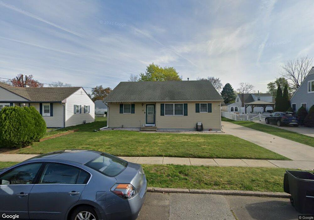
13 Woodbine Ave Maple Shade, NJ 08052
Estimated Value: $344,032 - $390,000
3
Beds
2
Baths
1,408
Sq Ft
$256/Sq Ft
Est. Value
About This Home
This home is located at 13 Woodbine Ave, Maple Shade, NJ 08052 and is currently estimated at $360,758, approximately $256 per square foot. 13 Woodbine Ave is a home located in Burlington County with nearby schools including Ralph J Steinhauer Elementary School, Maude M. Wilkins Elementary School, and Howard R Yocum School.
Ownership History
Date
Name
Owned For
Owner Type
Purchase Details
Closed on
Apr 19, 2011
Sold by
Mcmullen James and Mcmullen Debra
Bought by
Hosgood George E and Armstrong Michele
Current Estimated Value
Home Financials for this Owner
Home Financials are based on the most recent Mortgage that was taken out on this home.
Original Mortgage
$198,340
Outstanding Balance
$141,224
Interest Rate
5.5%
Mortgage Type
FHA
Estimated Equity
$219,534
Create a Home Valuation Report for This Property
The Home Valuation Report is an in-depth analysis detailing your home's value as well as a comparison with similar homes in the area
Home Values in the Area
Average Home Value in this Area
Purchase History
| Date | Buyer | Sale Price | Title Company |
|---|---|---|---|
| Hosgood George E | $203,500 | Foundation Title |
Source: Public Records
Mortgage History
| Date | Status | Borrower | Loan Amount |
|---|---|---|---|
| Open | Hosgood George E | $198,340 |
Source: Public Records
Tax History Compared to Growth
Tax History
| Year | Tax Paid | Tax Assessment Tax Assessment Total Assessment is a certain percentage of the fair market value that is determined by local assessors to be the total taxable value of land and additions on the property. | Land | Improvement |
|---|---|---|---|---|
| 2025 | $6,294 | $165,800 | $48,600 | $117,200 |
| 2024 | $6,111 | $165,800 | $48,600 | $117,200 |
| 2023 | $6,111 | $165,800 | $48,600 | $117,200 |
| 2022 | $6,017 | $165,800 | $48,600 | $117,200 |
| 2021 | $5,959 | $165,800 | $48,600 | $117,200 |
| 2020 | $5,975 | $165,800 | $48,600 | $117,200 |
| 2019 | $5,757 | $165,800 | $48,600 | $117,200 |
| 2018 | $5,657 | $165,800 | $48,600 | $117,200 |
| 2017 | $5,591 | $165,800 | $48,600 | $117,200 |
| 2016 | $5,508 | $165,800 | $48,600 | $117,200 |
| 2015 | $5,389 | $165,800 | $48,600 | $117,200 |
| 2014 | $5,224 | $165,800 | $48,600 | $117,200 |
Source: Public Records
Map
Nearby Homes
- 5 Paul Rd
- 2 Gainor Ave
- 319 S Coles Ave
- 327 S Coles Ave
- 480 W Front St
- 57 S Terrace Ave
- 8515 Bryn Mawr Ave
- 8275 Maple Ave
- 29 W Broadway
- 301 N Coles Ave
- 102 Avignon Way
- 22 Theodore Ave
- 112 S Maple Ave
- 410 S Forklanding Rd
- 120 E Center Ave
- 26 N Poplar Ave
- 63 Mecray Ln
- 111 Chestnut St Unit 208
- 111 Chestnut St Unit 404
- 4 W Germantown Ave