Estimated Value: $847,000 - $1,654,000
3
Beds
3
Baths
2,066
Sq Ft
$654/Sq Ft
Est. Value
About This Home
This home is located at 130 Creekside Dr Unit NONE, Macon, NC 27551 and is currently estimated at $1,351,053, approximately $653 per square foot. 130 Creekside Dr Unit NONE is a home located in Warren County.
Ownership History
Date
Name
Owned For
Owner Type
Purchase Details
Closed on
Oct 20, 2020
Sold by
Whitmore Lee A
Bought by
Stern Adam B and Crouchley Jillian L
Current Estimated Value
Home Financials for this Owner
Home Financials are based on the most recent Mortgage that was taken out on this home.
Original Mortgage
$364,000
Interest Rate
2.7%
Mortgage Type
Future Advance Clause Open End Mortgage
Purchase Details
Closed on
May 10, 2005
Sold by
Watson Cyrus Franklin and Watson Nancy E
Bought by
Kahan Richard J and Kahan Sandra H
Home Financials for this Owner
Home Financials are based on the most recent Mortgage that was taken out on this home.
Original Mortgage
$244,000
Interest Rate
5.98%
Mortgage Type
New Conventional
Create a Home Valuation Report for This Property
The Home Valuation Report is an in-depth analysis detailing your home's value as well as a comparison with similar homes in the area
Purchase History
| Date | Buyer | Sale Price | Title Company |
|---|---|---|---|
| Stern Adam B | $455,000 | None Available | |
| Kahan Richard J | $334,000 | None Available |
Source: Public Records
Mortgage History
| Date | Status | Borrower | Loan Amount |
|---|---|---|---|
| Previous Owner | Stern Adam B | $364,000 | |
| Previous Owner | Kahan Richard J | $244,000 |
Source: Public Records
Tax History
| Year | Tax Paid | Tax Assessment Tax Assessment Total Assessment is a certain percentage of the fair market value that is determined by local assessors to be the total taxable value of land and additions on the property. | Land | Improvement |
|---|---|---|---|---|
| 2025 | $9,655 | $1,565,716 | $510,000 | $1,055,716 |
| 2024 | $3,276 | $365,611 | $255,000 | $110,611 |
| 2023 | $3,276 | $365,611 | $255,000 | $110,611 |
| 2022 | $3,126 | $365,611 | $0 | $0 |
| 2021 | $3,258 | $365,611 | $0 | $365,611 |
| 2019 | $3,203 | $365,611 | $255,000 | $110,611 |
| 2018 | $3,072 | $365,611 | $255,000 | $110,611 |
| 2017 | $3,072 | $365,611 | $255,000 | $110,611 |
| 2016 | $3,077 | $395,242 | $300,000 | $95,242 |
| 2015 | -- | $395,242 | $0 | $0 |
| 2014 | -- | $395,242 | $0 | $0 |
| 2010 | -- | $395,242 | $300,000 | $95,242 |
Source: Public Records
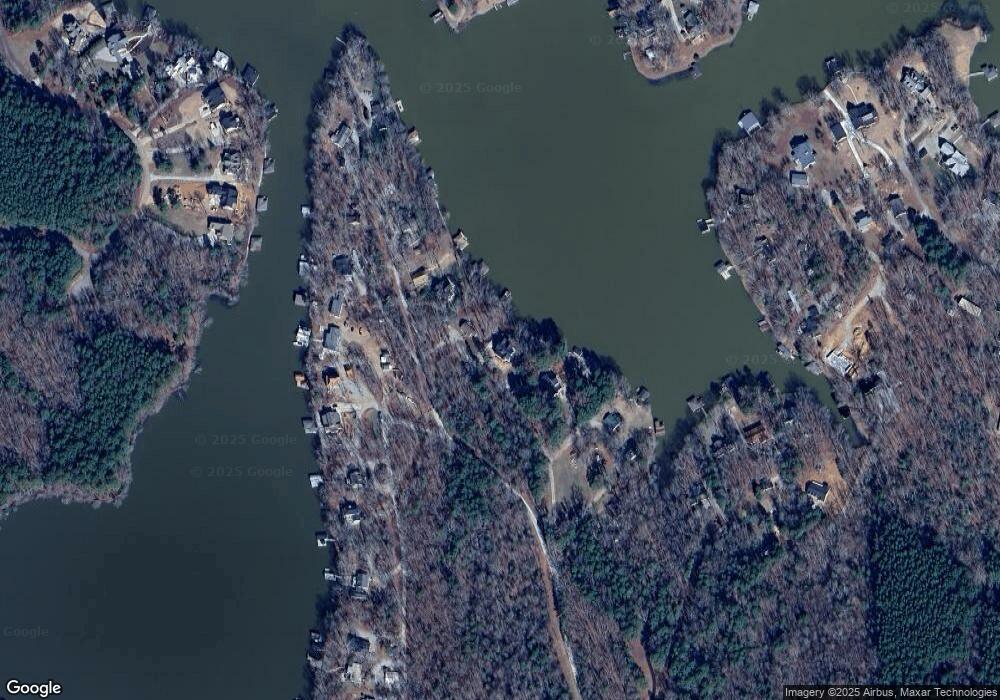
Map
Nearby Homes
- 80 Oakwood Dr
- 76 Oakwood Dr
- 43 Sycamore Dr
- 39 Sycamore Dr
- 0 Nocarva Rd
- 9 Nocarva Rd
- 5 Nocarva Rd
- 6 Nocarva Rd
- 109 Little Ponderosa Rd
- 35 Gordon Ln
- 38 Gordon Ln
- 149 Spring Branch Dr
- 0 Spring Branch Dr Unit 127310
- 167 Spring Branch Dr
- 242 Lakewoods Dr
- 143 Cabin Point Rd
- 340 Pasture Gate Rd
- 369 Pasture Gate Rd
- 1779 Wise-Five Forks Rd
- 104 Boyd Dr
- 130 Creekside Dr
- 272 Rocky Point Rd
- 280 Rocky Point Rd
- 122 Creekside Dr
- 292 Rocky Point Rd
- 118 Creekside Dr
- 114 Old Mill Rd
- 116 Old Mill Rd
- 110 Creekside Dr
- 293 Rocky Point Rd
- 124 Old Mill Rd
- 147 Stillwater Trail
- 143 Stillwater Trail
- 307 Rocky Point Rd
- 0 Old Mill Rd
- 163 Old Mill Rd
- 136 Old Mill Rd
- 391 Lynch Point Rd
- 149 Stillwater Trail
- 390 Lynch Point Rd
Your Personal Tour Guide
Ask me questions while you tour the home.