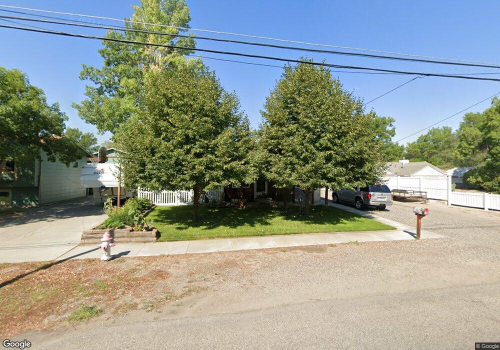
130 Foster Ln Billings, MT 59101
East Central Billings NeighborhoodEstimated Value: $199,000 - $255,288
2
Beds
1
Bath
864
Sq Ft
$273/Sq Ft
Est. Value
About This Home
This home is located at 130 Foster Ln, Billings, MT 59101 and is currently estimated at $235,822, approximately $272 per square foot. 130 Foster Ln is a home located in Yellowstone County with nearby schools including Washington School, Lewis & Clark Junior High School, and Billings West High School.
Ownership History
Date
Name
Owned For
Owner Type
Purchase Details
Closed on
Jun 1, 2006
Sold by
Powers Matthew J
Bought by
Wagner Roger and Wagner Tammy
Current Estimated Value
Home Financials for this Owner
Home Financials are based on the most recent Mortgage that was taken out on this home.
Original Mortgage
$97,200
Outstanding Balance
$67,242
Interest Rate
9.99%
Mortgage Type
Adjustable Rate Mortgage/ARM
Estimated Equity
$168,580
Create a Home Valuation Report for This Property
The Home Valuation Report is an in-depth analysis detailing your home's value as well as a comparison with similar homes in the area
Home Values in the Area
Average Home Value in this Area
Purchase History
| Date | Buyer | Sale Price | Title Company |
|---|---|---|---|
| Wagner Roger | -- | None Available |
Source: Public Records
Mortgage History
| Date | Status | Borrower | Loan Amount |
|---|---|---|---|
| Open | Wagner Roger | $97,200 |
Source: Public Records
Tax History Compared to Growth
Tax History
| Year | Tax Paid | Tax Assessment Tax Assessment Total Assessment is a certain percentage of the fair market value that is determined by local assessors to be the total taxable value of land and additions on the property. | Land | Improvement |
|---|---|---|---|---|
| 2025 | $1,899 | $228,900 | $41,749 | $187,151 |
| 2024 | $1,899 | $188,300 | $41,647 | $146,653 |
| 2023 | $1,960 | $188,300 | $41,647 | $146,653 |
| 2022 | $1,858 | $157,300 | $0 | $0 |
| 2021 | $1,771 | $157,300 | $0 | $0 |
| 2020 | $1,853 | $156,700 | $0 | $0 |
| 2019 | $1,772 | $156,700 | $0 | $0 |
| 2018 | $1,712 | $148,300 | $0 | $0 |
| 2017 | $1,373 | $148,300 | $0 | $0 |
| 2016 | $1,468 | $130,800 | $0 | $0 |
| 2015 | $1,435 | $130,800 | $0 | $0 |
| 2014 | $1,127 | $52,311 | $0 | $0 |
Source: Public Records
Map
Nearby Homes
- 141 S 12th St W
- 231 S 12th St W
- 1212 Concord Dr
- 1304 Eldorado Dr
- 226 Moore Ln
- 1113 Lynn Ave
- 1231 Saint Johns Ave
- 112 11th St W
- 1122 Howard Ave
- 1019 Miles Ave
- 927 Miles Ave
- 12 Macarthur Ave
- 925 Miles Ave
- 812 Miles Ave
- 626 Cook Ave
- 19 Patton Ave
- 1346 Broadwater Ave
- 305 17th St W
- 618 & 620 Howard Ave
- 704 Terry Ave
- 124 124 1/2 Foster Ln
- 124 Foster Ln
- 136 Foster Ln
- 122 Foster Ln
- 144 Foster Ln
- 123 S 12th St W
- 147 S 12th St W
- 123 Foster Ln
- 119 S 12th St W
- 153 S 12th St W
- 116 Foster Ln
- 121 Foster Ln
- 148 Foster Ln
- 113 S 12th St W
- 1203 Glencoe Dr
- 1204 Fairvale Dr
- 157 S 12th St W
- 119 Foster Ln
- 112 Foster Ln
- 125 Foster Ln