Estimated Value: $1,170,000 - $1,988,260
4
Beds
4
Baths
4,360
Sq Ft
$369/Sq Ft
Est. Value
About This Home
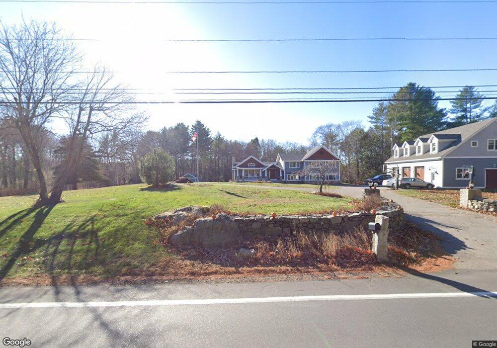
This home is located at 130 Lang Rd, Rye, NH 03870 and is currently estimated at $1,607,065, approximately $368 per square foot. 130 Lang Rd is a home located in Rockingham County with nearby schools including Rye Elementary School, Rye Junior High School, and Rye Country Day School.
Ownership History
Date
Name
Owned For
Owner Type
Purchase Details
Closed on
Mar 3, 2005
Sold by
Luz Herbert M and Luz Shirley
Bought by
Fregeau James A and Moran Patricia M
Current Estimated Value
Purchase Details
Closed on
Nov 30, 1999
Sold by
Rvkb Brenda J Semprini
Bought by
Luz Herbert M
Create a Home Valuation Report for This Property
The Home Valuation Report is an in-depth analysis detailing your home's value as well as a comparison with similar homes in the area
Home Values in the Area
Average Home Value in this Area
Purchase History
| Date | Buyer | Sale Price | Title Company |
|---|---|---|---|
| Fregeau James A | $550,000 | -- | |
| Luz Herbert M | $343,000 | -- |
Source: Public Records
Mortgage History
| Date | Status | Borrower | Loan Amount |
|---|---|---|---|
| Open | Fregeau James A | $177,000 | |
| Open | Luz Herbert M | $400,000 | |
| Closed | Luz Herbert M | $70,000 | |
| Closed | Luz Herbert M | $410,000 | |
| Closed | Luz Herbert M | $43,000 |
Source: Public Records
Tax History Compared to Growth
Tax History
| Year | Tax Paid | Tax Assessment Tax Assessment Total Assessment is a certain percentage of the fair market value that is determined by local assessors to be the total taxable value of land and additions on the property. | Land | Improvement |
|---|---|---|---|---|
| 2024 | $9,536 | $1,101,200 | $385,600 | $715,600 |
| 2023 | $8,817 | $1,098,000 | $385,600 | $712,400 |
| 2022 | $7,664 | $1,098,000 | $385,600 | $712,400 |
| 2021 | $8,545 | $836,100 | $241,600 | $594,500 |
| 2020 | $3,309 | $836,100 | $241,600 | $594,500 |
| 2019 | $3,263 | $836,100 | $241,600 | $594,500 |
| 2018 | $6,321 | $836,100 | $241,600 | $594,500 |
| 2017 | $8,222 | $813,300 | $241,600 | $571,700 |
| 2016 | $8,432 | $789,500 | $220,700 | $568,800 |
| 2013 | $5,758 | $524,900 | $227,600 | $297,300 |
Source: Public Records
Map
Nearby Homes
- 665 Wallis Rd
- 665 Wallis Rd Unit 1
- 665 Wallis Rd Unit 2
- 37 Central Rd
- 310 Springbrook Cir
- 916 Springbrook Cir
- 703 Springbrook Cir
- 204 Mackerel Ave
- 103 Bluefish Blvd
- 315 Salmon Ave
- 115 Bluefish Blvd
- 801 Springbrook Cir
- 809 Springbrook Cir
- 21 Mountainview Terrace
- 850R Washington Rd
- 163 Ocean Rd
- 45 F w Hartford Dr
- 1 Pheasant Ln
- 80 Constitution Ave Unit 225
- 80 Constitution Ave Unit 231