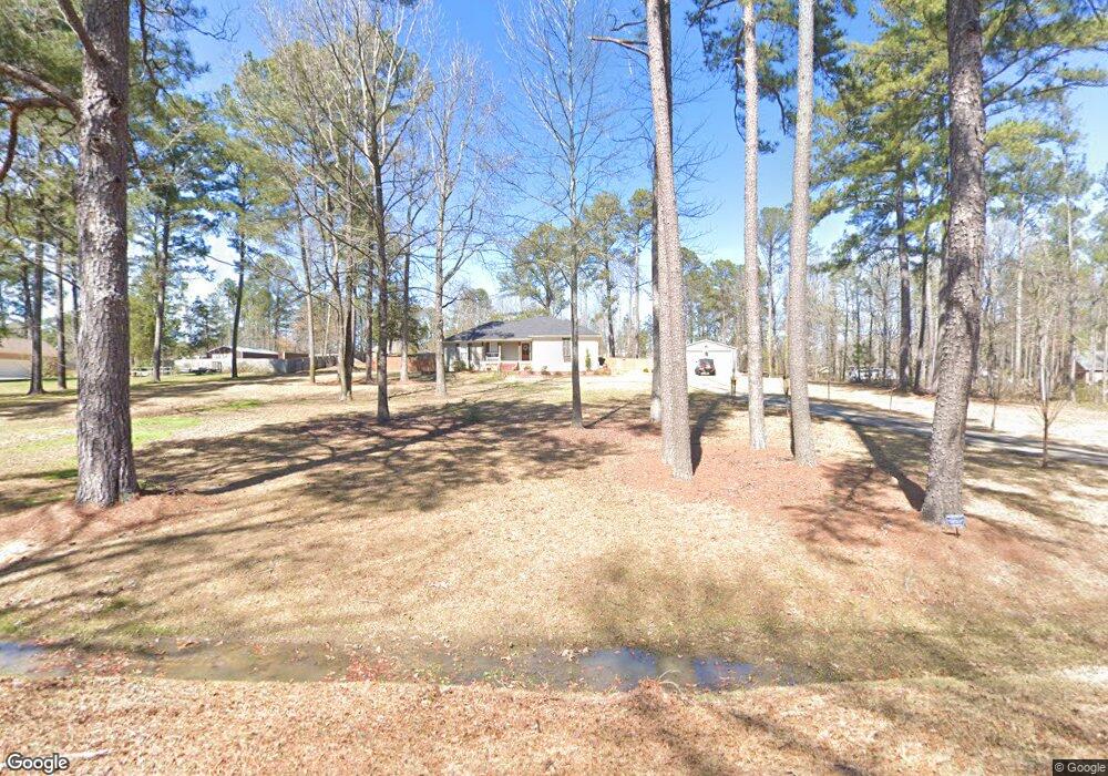
130 Napoleon Dr Brandon, MS 39047
Estimated Value: $243,000 - $468,000
3
Beds
2
Baths
1,636
Sq Ft
$202/Sq Ft
Est. Value
About This Home
This home is located at 130 Napoleon Dr, Brandon, MS 39047 and is currently estimated at $330,966, approximately $202 per square foot. 130 Napoleon Dr is a home located in Rankin County with nearby schools including Oakdale Elementary School, Northwest Rankin Middle School, and Northwest Rankin High School.
Ownership History
Date
Name
Owned For
Owner Type
Purchase Details
Closed on
May 15, 2017
Sold by
Blakeney Brien Austin and Blakeney Molly
Bought by
Warnock Christopher Benson and Warnock Denise Robertson
Current Estimated Value
Home Financials for this Owner
Home Financials are based on the most recent Mortgage that was taken out on this home.
Original Mortgage
$211,007
Outstanding Balance
$174,360
Interest Rate
3.87%
Mortgage Type
FHA
Estimated Equity
$156,606
Purchase Details
Closed on
May 30, 2014
Sold by
Richard B Richard B and Little Kristen C
Bought by
Blakeney Brien Austin
Create a Home Valuation Report for This Property
The Home Valuation Report is an in-depth analysis detailing your home's value as well as a comparison with similar homes in the area
Home Values in the Area
Average Home Value in this Area
Purchase History
| Date | Buyer | Sale Price | Title Company |
|---|---|---|---|
| Warnock Christopher Benson | -- | None Available | |
| Blakeney Brien Austin | -- | -- |
Source: Public Records
Mortgage History
| Date | Status | Borrower | Loan Amount |
|---|---|---|---|
| Open | Warnock Christopher Benson | $211,007 |
Source: Public Records
Tax History Compared to Growth
Tax History
| Year | Tax Paid | Tax Assessment Tax Assessment Total Assessment is a certain percentage of the fair market value that is determined by local assessors to be the total taxable value of land and additions on the property. | Land | Improvement |
|---|---|---|---|---|
| 2024 | $1,121 | $14,114 | $0 | $0 |
| 2023 | $999 | $13,158 | $0 | $0 |
| 2022 | $979 | $13,158 | $0 | $0 |
| 2021 | $979 | $13,158 | $0 | $0 |
| 2020 | $979 | $13,158 | $0 | $0 |
| 2019 | $873 | $11,729 | $0 | $0 |
| 2018 | $849 | $11,729 | $0 | $0 |
| 2017 | $1,724 | $17,594 | $0 | $0 |
| 2016 | $1,622 | $17,448 | $0 | $0 |
| 2015 | $1,622 | $17,448 | $0 | $0 |
| 2014 | $458 | $11,632 | $0 | $0 |
| 2013 | $458 | $11,632 | $0 | $0 |
Source: Public Records
Map
Nearby Homes
- 313 Le Bourgeois Ln
- 23 Le Bourgeois Dr
- 111 Meadowview Dr
- 840 Westerly Dr
- 554 Stump Ridge Rd
- 562 Stump Ridge Rd
- 538 Stump Ridge Rd
- 739 Westerly Dr
- 868 Willow Grande Cir
- 812 Willow Grande Cir
- 413 Miles Cove
- 715 Westerly Dr
- 1209 Old Court Crossing
- 1205 Old Court Crossing
- 1203 Old Court Crossing
- 1227 Old Court Crossing
- 108 Willow Crest Cir
- 917 Brunswick Ct
- 913 Brunswick Ct
- 1016 Kensington Dr
- 126 Napoleon Dr
- 134 Napoleon Dr
- 105 Thames Cove
- 302 Le Bourgeois Ln
- 122 Napoleon Dr
- 131 Napoleon Dr
- 306 Le Bourgeois Ln
- 104 Thames Cove
- 234 Le Bourgeois Ln
- 234 Le Bourgeois Ln Unit E
- 25 Napoleon Cir
- 226 Le Bourgeois Ln
- 127 Napoleon Dr
- 100 Thames Cove
- 118 Napoleon Dr
- 31 Napoleon Cir
- 233 Le Bourgeois Ln
- 218 Le Bourgeois Ln
- 123 Napoleon Dr
- 301 Le Bourgeois Ln