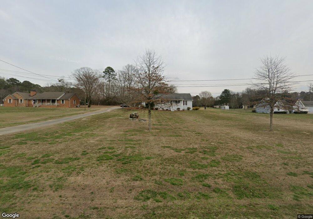
130 Sims Dr Stockbridge, GA 30281
Estimated Value: $306,942 - $342,000
3
Beds
2
Baths
2,168
Sq Ft
$150/Sq Ft
Est. Value
About This Home
This home is located at 130 Sims Dr, Stockbridge, GA 30281 and is currently estimated at $326,236, approximately $150 per square foot. 130 Sims Dr is a home located in Henry County with nearby schools including Woodland Elementary School, Woodland Middle School, and Woodland High School.
Ownership History
Date
Name
Owned For
Owner Type
Purchase Details
Closed on
Aug 31, 2000
Sold by
Britt Helen M
Bought by
Britt Helen M and Britt Johnny
Current Estimated Value
Home Financials for this Owner
Home Financials are based on the most recent Mortgage that was taken out on this home.
Original Mortgage
$156,929
Interest Rate
8.17%
Mortgage Type
FHA
Purchase Details
Closed on
Apr 1, 1998
Sold by
Byrd Emmett L and Byrd Alice B
Bought by
Nash Albert R and Nash Annette L
Home Financials for this Owner
Home Financials are based on the most recent Mortgage that was taken out on this home.
Original Mortgage
$102,600
Interest Rate
6.25%
Mortgage Type
New Conventional
Purchase Details
Closed on
Sep 20, 1993
Sold by
Sills Yvonne L
Bought by
Byrd Emmett L and Byrd Alice B
Home Financials for this Owner
Home Financials are based on the most recent Mortgage that was taken out on this home.
Original Mortgage
$102,279
Interest Rate
7.14%
Mortgage Type
FHA
Create a Home Valuation Report for This Property
The Home Valuation Report is an in-depth analysis detailing your home's value as well as a comparison with similar homes in the area
Home Values in the Area
Average Home Value in this Area
Purchase History
| Date | Buyer | Sale Price | Title Company |
|---|---|---|---|
| Britt Helen M | -- | -- | |
| Britt Helen M | $159,000 | -- | |
| Nash Albert R | $108,000 | -- | |
| Byrd Emmett L | $104,000 | -- |
Source: Public Records
Mortgage History
| Date | Status | Borrower | Loan Amount |
|---|---|---|---|
| Previous Owner | Britt Helen M | $156,929 | |
| Previous Owner | Nash Albert R | $102,600 | |
| Previous Owner | Byrd Emmett L | $102,279 |
Source: Public Records
Tax History Compared to Growth
Tax History
| Year | Tax Paid | Tax Assessment Tax Assessment Total Assessment is a certain percentage of the fair market value that is determined by local assessors to be the total taxable value of land and additions on the property. | Land | Improvement |
|---|---|---|---|---|
| 2025 | $843 | $128,400 | $14,000 | $114,400 |
| 2024 | $843 | $114,680 | $14,000 | $100,680 |
| 2023 | $596 | $117,360 | $14,000 | $103,360 |
| 2022 | $1,184 | $98,760 | $12,000 | $86,760 |
| 2021 | $916 | $87,320 | $12,000 | $75,320 |
| 2020 | $745 | $71,040 | $8,000 | $63,040 |
| 2019 | $2,277 | $66,840 | $8,000 | $58,840 |
| 2018 | $2,208 | $63,840 | $8,000 | $55,840 |
| 2016 | $1,733 | $51,200 | $8,000 | $43,200 |
| 2015 | $1,808 | $52,000 | $8,000 | $44,000 |
| 2014 | $1,687 | $48,520 | $10,000 | $38,520 |
Source: Public Records
Map
Nearby Homes
- 1810 Highway 138 E
- 255 White Acres Dr
- 2100 Highway 138 E
- 320 Mckenzie Dr
- 2471 Old Conyers Rd
- 719 Erin Dr
- 1720 Highway 138 E
- 0 Mckenzie Ave Unit 10593345
- 564 Mckenzie Ave
- 164 Mckenzie Ct
- 157 Hambrick Dr
- 88 Bowen Rd
- 373 Vicki Ln
- 293 Ironwood Dr
- 641 Morningside Dr N
- 120 Bowen Rd
- 663 Moseley Dr
- 805 Anna Kathryn Dr
- 825 Anna Kathryn Dr
- 809 Anna Kathryn Dr