130 Watcha Club Rd West Tisbury, MA 02568
West Tisbury NeighborhoodEstimated Value: $2,918,000 - $8,720,979
--
Bed
1
Bath
4,018
Sq Ft
$1,448/Sq Ft
Est. Value
About This Home
This home is located at 130 Watcha Club Rd, West Tisbury, MA 02568 and is currently estimated at $5,819,490, approximately $1,448 per square foot. 130 Watcha Club Rd is a home located in Dukes County with nearby schools including Martha's Vineyard Regional High School.
Ownership History
Date
Name
Owned For
Owner Type
Purchase Details
Closed on
Feb 5, 2015
Sold by
Fisher Rt
Bought by
Calawi Rt
Current Estimated Value
Purchase Details
Closed on
Mar 16, 2011
Sold by
Baker Dorothy O and Aubrey Elsie O
Bought by
Fisher Rt and Fisher Peter R
Home Financials for this Owner
Home Financials are based on the most recent Mortgage that was taken out on this home.
Original Mortgage
$1,500,000
Interest Rate
4.84%
Mortgage Type
Purchase Money Mortgage
Purchase Details
Closed on
Jun 23, 2006
Sold by
Frank Obrien Jr Ft and Obrien Frank
Bought by
Obrien-Baker Dorothy and Aubrey Elsie Obrien
Create a Home Valuation Report for This Property
The Home Valuation Report is an in-depth analysis detailing your home's value as well as a comparison with similar homes in the area
Home Values in the Area
Average Home Value in this Area
Purchase History
| Date | Buyer | Sale Price | Title Company |
|---|---|---|---|
| Calawi Rt | $4,340,000 | -- | |
| Fisher Rt | $2,500,000 | -- | |
| Obrien-Baker Dorothy | -- | -- |
Source: Public Records
Mortgage History
| Date | Status | Borrower | Loan Amount |
|---|---|---|---|
| Previous Owner | Fisher Rt | $500,000 | |
| Previous Owner | Fisher Rt | $1,081,683 | |
| Previous Owner | Fisher Rt | $1,500,000 | |
| Previous Owner | Fisher Rt | $1,000,000 |
Source: Public Records
Tax History Compared to Growth
Tax History
| Year | Tax Paid | Tax Assessment Tax Assessment Total Assessment is a certain percentage of the fair market value that is determined by local assessors to be the total taxable value of land and additions on the property. | Land | Improvement |
|---|---|---|---|---|
| 2025 | $41,083 | $9,069,200 | $5,967,200 | $3,102,000 |
| 2024 | $38,088 | $8,857,600 | $5,794,000 | $3,063,600 |
| 2023 | $37,984 | $8,711,900 | $5,828,900 | $2,883,000 |
| 2022 | $34,304 | $5,894,200 | $3,682,400 | $2,211,800 |
| 2021 | $35,090 | $5,752,400 | $3,621,100 | $2,131,300 |
| 2020 | $34,931 | $5,754,700 | $3,621,100 | $2,133,600 |
| 2019 | $34,759 | $5,624,400 | $3,621,100 | $2,003,300 |
| 2018 | $27,629 | $4,559,300 | $3,505,700 | $1,053,600 |
| 2017 | $21,398 | $3,584,300 | $3,584,300 | $0 |
| 2016 | $20,652 | $3,407,900 | $3,407,900 | $0 |
| 2015 | $19,459 | $3,407,900 | $3,407,900 | $0 |
| 2014 | $21,674 | $4,006,200 | $4,006,200 | $0 |
Source: Public Records
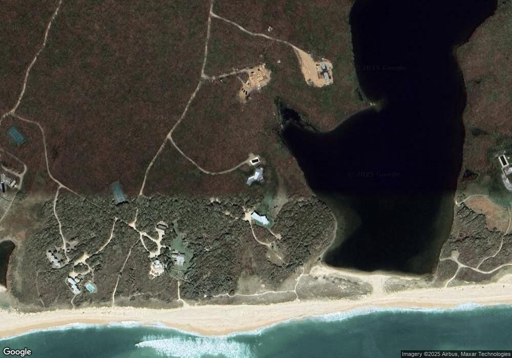
Map
Nearby Homes
- 111 Charles Neck Way
- 25 Vineyard Meadow Farms Rd
- 25 Coffins Field Rd
- 25 Coffins Field Rd Unit 18
- 32 Edgartown - West Tisbury Rd Unit 81
- 146 Quansoo Rd
- 104 Pond View Farm Rd
- 10 Danls Way
- 4 Boldwater Rd
- 3 Jacob's Neck Rd Unit 2
- 4 Jacobs Neck Rd
- 2 Jacob's Neck Rd Unit 2
- 3 Jacobs Neck Road (North Lot 1) Unit 2
- 6 Janes Cove Rd
- 16 South Rd
- 40 Scotchmans Ln
- 33 Boldwater Rd
- 229 Oak Ln
- 46 Bold Meadow Rd
- 7 Candle Maker Cir
- 0 Watcha Club Rd
- 80 Watcha Club Rd
- 98 Watcha Club Rd
- 100 Watcha Club Rd
- 21 Sarita Walker Rd
- 39 Sarita Walker Rd
- 21 Sarita Walker Rd
- 256 Waldron Bottom Rd
- 256 Waldrons Bottom Rd
- 0 Sarita Walker Rd
- 134 Sarita Walker Rd
- 140C,D Sarita Walker Rd
- 100 Sarita Walker Rd
- 262 Waldron Bottom Rd
- 262 Waldrons Bottom Rd
- 220 Waldrons Bottom Rd
- 140 Waldron Bottom Rd - Guest Cottage
- 252 Waldron Bottom Rd
- 252 Waldrons Bottom Rd
- 566 Scrubby Neck Rd