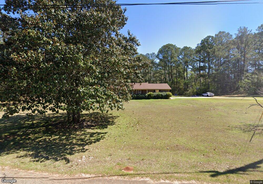
130 Weathers Dr Lagrange, GA 30240
Estimated Value: $233,000 - $247,000
3
Beds
2
Baths
1,617
Sq Ft
$148/Sq Ft
Est. Value
About This Home
This home is located at 130 Weathers Dr, Lagrange, GA 30240 and is currently estimated at $239,180, approximately $147 per square foot. 130 Weathers Dr is a home located in Troup County with nearby schools including Ethel W. Kight Elementary School, Hollis Hand Elementary School, and Franklin Forest Elementary School.
Ownership History
Date
Name
Owned For
Owner Type
Purchase Details
Closed on
Jul 18, 2016
Sold by
Howell Martha
Bought by
Weathers Willie Grover
Current Estimated Value
Purchase Details
Closed on
Mar 15, 2006
Sold by
Smith Sara Lee Styres
Bought by
Weathers Martha H
Purchase Details
Closed on
Jun 30, 1997
Sold by
Smith Johnnie F
Bought by
Weathers Martha H
Purchase Details
Closed on
Jan 1, 1963
Sold by
J D Weather
Bought by
Smith Johnnie F
Create a Home Valuation Report for This Property
The Home Valuation Report is an in-depth analysis detailing your home's value as well as a comparison with similar homes in the area
Purchase History
| Date | Buyer | Sale Price | Title Company |
|---|---|---|---|
| Weathers Willie Grover | -- | -- | |
| Weathers Martha H | $89,500 | -- | |
| Weathers Martha H | -- | -- | |
| Smith Johnnie F | -- | -- |
Source: Public Records
Tax History Compared to Growth
Tax History
| Year | Tax Paid | Tax Assessment Tax Assessment Total Assessment is a certain percentage of the fair market value that is determined by local assessors to be the total taxable value of land and additions on the property. | Land | Improvement |
|---|---|---|---|---|
| 2025 | $1,684 | $69,720 | $12,000 | $57,720 |
| 2024 | $1,684 | $61,760 | $12,000 | $49,760 |
| 2023 | $1,663 | $60,960 | $12,000 | $48,960 |
| 2022 | $1,610 | $57,680 | $12,000 | $45,680 |
| 2021 | $1,065 | $35,320 | $4,960 | $30,360 |
| 2020 | $1,065 | $35,320 | $4,960 | $30,360 |
| 2019 | $1,074 | $35,600 | $4,960 | $30,640 |
| 2018 | $1,074 | $35,600 | $4,960 | $30,640 |
| 2017 | $1,034 | $34,280 | $4,960 | $29,320 |
| 2016 | $1,003 | $33,271 | $4,976 | $28,295 |
| 2015 | $1,005 | $33,271 | $4,976 | $28,295 |
| 2014 | $962 | $31,782 | $4,976 | $26,806 |
| 2013 | -- | $33,598 | $4,976 | $28,622 |
Source: Public Records
Map
Nearby Homes
- 229 W Lakeview Dr
- 146 Whitaker Rd
- 223 Pinehaven Dr
- 336 Whitaker Rd
- 117 Brookwood Dr
- 104 Spring Valley Dr
- 3 Reed Dr
- 0 Unit 10514554
- 200 Cheyenne Dr
- 641 Whitaker Rd
- 203 Shawnee Dr
- 509 Connie Dr
- 610 Ginger Cir
- 243 Oak Dr
- 0 Bradfield Dr Unit 10568803
- 208 Highland Trail
- E Angela Dr
- LOT 4 Angela Dr
- 217 Highland Trail
- 190 Hill Rd
- 118 Weathers Dr
- 131 Weathers Dr
- 121 Weathers Dr
- 108 Weathers Dr
- 170 Weathers Dr
- 109 Weathers Dr
- 104 Weathers Dr
- 107 Weathers Dr
- 167 Weathers Dr
- 102 Weathers Dr
- 190 Weathers Dr
- 2526 Roanoke Rd
- 187 Weathers Dr
- 103 Weathers Dr
- 100 Weathers Dr
- 2522 Roanoke Rd
- 199 Weathers Dr
- 98 Weathers Dr
- 200 Weathers Dr
- 2528 Roanoke Rd