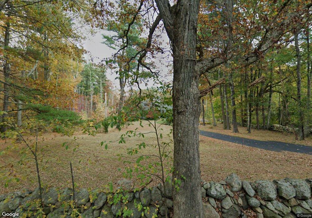
130 Williams St Wrentham, MA 02093
West Wrentham NeighborhoodEstimated Value: $736,892 - $775,000
3
Beds
3
Baths
2,384
Sq Ft
$318/Sq Ft
Est. Value
About This Home
This home is located at 130 Williams St, Wrentham, MA 02093 and is currently estimated at $757,223, approximately $317 per square foot. 130 Williams St is a home located in Norfolk County with nearby schools including Delaney Elementary School, Charles E Roderick, and Mercymount Country Day School.
Ownership History
Date
Name
Owned For
Owner Type
Purchase Details
Closed on
Apr 27, 2018
Sold by
Czarnecki Henry
Bought by
Czarnecki Lt
Current Estimated Value
Purchase Details
Closed on
Feb 12, 2007
Sold by
Musk Pamela A
Bought by
Czarnecki Henry
Home Financials for this Owner
Home Financials are based on the most recent Mortgage that was taken out on this home.
Original Mortgage
$348,000
Interest Rate
6.22%
Mortgage Type
Purchase Money Mortgage
Purchase Details
Closed on
Feb 18, 2000
Sold by
Mcvay Terry F
Bought by
Musk Pamela A
Home Financials for this Owner
Home Financials are based on the most recent Mortgage that was taken out on this home.
Original Mortgage
$150,000
Interest Rate
8.11%
Mortgage Type
Purchase Money Mortgage
Purchase Details
Closed on
Aug 28, 1998
Sold by
Meade Cornelius
Bought by
Mcvay Terry F and Mcvay Kathleen
Home Financials for this Owner
Home Financials are based on the most recent Mortgage that was taken out on this home.
Original Mortgage
$227,150
Interest Rate
6.92%
Purchase Details
Closed on
Jun 30, 1992
Sold by
Whitty Wilson W and Whitty Phyllis E
Bought by
Meade Cornelius
Create a Home Valuation Report for This Property
The Home Valuation Report is an in-depth analysis detailing your home's value as well as a comparison with similar homes in the area
Home Values in the Area
Average Home Value in this Area
Purchase History
| Date | Buyer | Sale Price | Title Company |
|---|---|---|---|
| Czarnecki Lt | -- | -- | |
| Czarnecki Henry | $435,000 | -- | |
| Musk Pamela A | $315,950 | -- | |
| Mcvay Terry F | $285,000 | -- | |
| Meade Cornelius | $200,000 | -- |
Source: Public Records
Mortgage History
| Date | Status | Borrower | Loan Amount |
|---|---|---|---|
| Previous Owner | Czarnecki Henry | $348,000 | |
| Previous Owner | Meade Cornelius | $150,000 | |
| Previous Owner | Meade Cornelius | $227,150 | |
| Previous Owner | Meade Cornelius | $228,000 | |
| Previous Owner | Meade Cornelius | $199,900 |
Source: Public Records
Tax History Compared to Growth
Tax History
| Year | Tax Paid | Tax Assessment Tax Assessment Total Assessment is a certain percentage of the fair market value that is determined by local assessors to be the total taxable value of land and additions on the property. | Land | Improvement |
|---|---|---|---|---|
| 2025 | $6,789 | $585,800 | $288,800 | $297,000 |
| 2024 | $6,898 | $574,800 | $288,800 | $286,000 |
| 2023 | $6,861 | $543,700 | $275,000 | $268,700 |
| 2022 | $6,269 | $458,600 | $281,300 | $177,300 |
| 2021 | $6,479 | $460,500 | $250,300 | $210,200 |
| 2020 | $5,357 | $375,900 | $191,100 | $184,800 |
| 2019 | $5,438 | $385,100 | $191,100 | $194,000 |
| 2018 | $5,374 | $377,400 | $190,900 | $186,500 |
| 2017 | $4,926 | $345,700 | $178,300 | $167,400 |
| 2016 | $4,849 | $339,600 | $173,200 | $166,400 |
| 2015 | $4,692 | $313,200 | $166,500 | $146,700 |
| 2014 | $4,616 | $301,500 | $160,100 | $141,400 |
Source: Public Records
Map
Nearby Homes
- 50 Heather Ln
- 60 Grant Ave
- 2095 West St
- 39 Sumner Brown Rd
- 17 Stanford Rd
- 10 Stanford Rd
- 851 Washington St
- 584 Washington St
- 1 Spring St
- 955 Summer St
- 25 Nature View Dr
- 732 King St
- 180 Pine Swamp Rd
- 56 Pine Swamp Rd
- 20 Nature View Dr
- 80 Carriage House Ln
- 11 Amber Dr
- 8 Bubbling Brook Rd
- 4 Evans St
- 9 Pebble Cir Unit 9