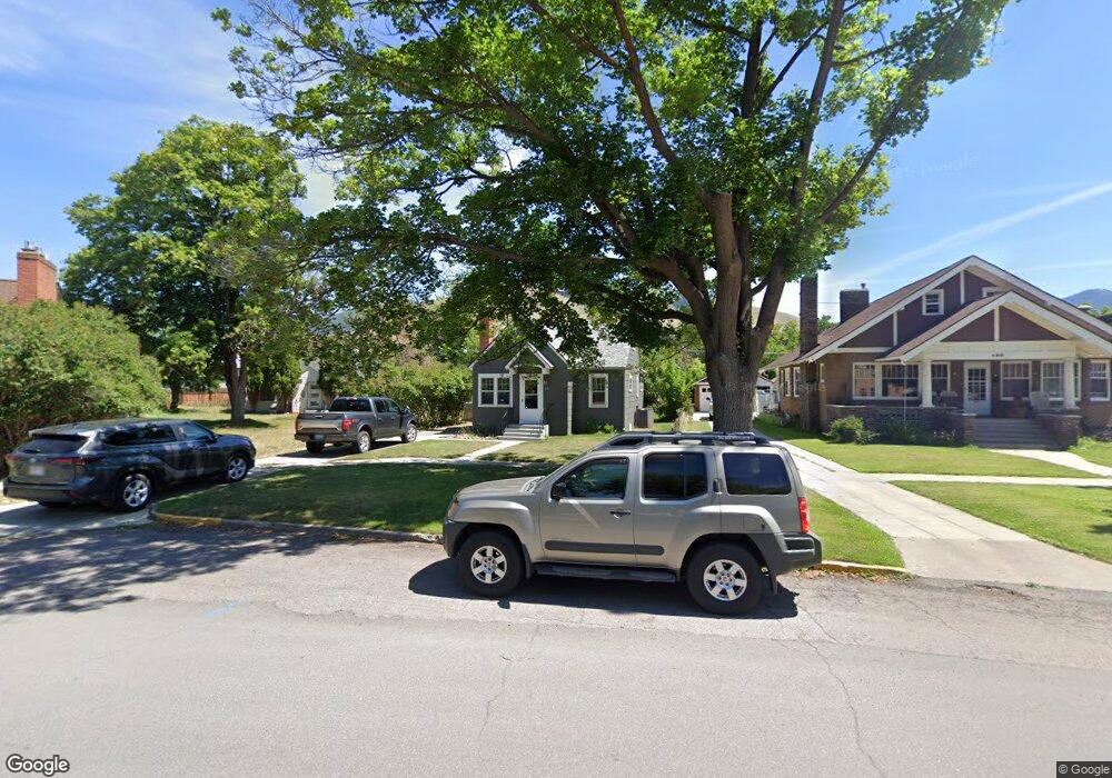
130 Woodford St Missoula, MT 59801
Rose Park NeighborhoodEstimated Value: $466,000 - $554,388
2
Beds
2
Baths
398
Sq Ft
$1,284/Sq Ft
Est. Value
About This Home
This home is located at 130 Woodford St, Missoula, MT 59801 and is currently estimated at $510,847, approximately $1,283 per square foot. 130 Woodford St is a home located in Missoula County with nearby schools including Paxson School, Washington Middle School, and Hellgate High School.
Ownership History
Date
Name
Owned For
Owner Type
Purchase Details
Closed on
Jul 14, 2009
Sold by
Walton Susie B
Bought by
Pickhardt Nancy Lebuhn and Pickhardt John Bradley
Current Estimated Value
Home Financials for this Owner
Home Financials are based on the most recent Mortgage that was taken out on this home.
Original Mortgage
$223,378
Outstanding Balance
$145,346
Interest Rate
5.25%
Mortgage Type
FHA
Estimated Equity
$365,501
Create a Home Valuation Report for This Property
The Home Valuation Report is an in-depth analysis detailing your home's value as well as a comparison with similar homes in the area
Home Values in the Area
Average Home Value in this Area
Purchase History
| Date | Buyer | Sale Price | Title Company |
|---|---|---|---|
| Pickhardt Nancy Lebuhn | -- | Stm |
Source: Public Records
Mortgage History
| Date | Status | Borrower | Loan Amount |
|---|---|---|---|
| Open | Pickhardt Nancy Lebuhn | $223,378 |
Source: Public Records
Tax History Compared to Growth
Tax History
| Year | Tax Paid | Tax Assessment Tax Assessment Total Assessment is a certain percentage of the fair market value that is determined by local assessors to be the total taxable value of land and additions on the property. | Land | Improvement |
|---|---|---|---|---|
| 2025 | $5,079 | $544,800 | $311,870 | $232,930 |
| 2024 | $4,874 | $400,500 | $217,230 | $183,270 |
| 2023 | $4,696 | $400,500 | $217,230 | $183,270 |
| 2022 | $3,849 | $284,800 | $0 | $0 |
| 2021 | $3,460 | $284,800 | $0 | $0 |
| 2020 | $3,142 | $240,100 | $0 | $0 |
| 2019 | $3,131 | $240,100 | $0 | $0 |
| 2018 | $3,135 | $218,700 | $0 | $0 |
| 2017 | $2,979 | $218,700 | $0 | $0 |
| 2016 | $2,575 | $204,000 | $0 | $0 |
| 2015 | $2,383 | $204,000 | $0 | $0 |
| 2014 | $2,481 | $119,727 | $0 | $0 |
Source: Public Records
Map
Nearby Homes
- 225 Eddy Ave
- 120 S 4th St W Unit 4 and 6
- 300 Connell Ave
- 320 S 6th St E
- 415 S 6th St E
- 1325 Gerald Ave
- 520 Hickory St
- 516 S 5th St E
- 603 Brooks St
- 512 S 2nd St W
- 542 Eddy Ave
- 540 S 6th St E
- 808 Ash St
- 125 W Franklin St
- 722 Oak St
- 8862 Santa Anita Rd
- 8876 Santa Anita Rd
- 455 Mount Ave
- 845 Wyoming St Unit C106
- 835 Wyoming St Unit 104
- 138 Woodford St
- 126 Woodford St
- 122 Woodford St
- 131 1/2 Brooks St
- 118 Woodford St
- 146 Woodford St
- 121 Brooks St
- 121 Brooks St Unit 4
- 129 Brooks St
- 103 Brooks St
- 819 S Higgins Ave Unit B
- 819 S Higgins Ave Unit 101 Brooks St
- 8 Woodford St
- 210 Woodford St
- 201/203 Woodford St
- 205 Brooks St
- 901 S Higgins Ave
- 901 S Higgins Ave
- 901 S Higgins Ave
- 901 S Higgins Ave