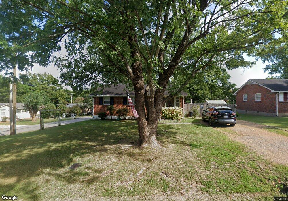
1300 Adrian Dr Springfield, TN 37172
Estimated Value: $192,000 - $237,000
Studio
1
Bath
975
Sq Ft
$221/Sq Ft
Est. Value
About This Home
This home is located at 1300 Adrian Dr, Springfield, TN 37172 and is currently estimated at $215,640, approximately $221 per square foot. 1300 Adrian Dr is a home located in Robertson County with nearby schools including Westside Elementary School, Cheatham Park Elementary School, and Jo Byrns High School.
Ownership History
Date
Name
Owned For
Owner Type
Purchase Details
Closed on
Jan 14, 2008
Sold by
Leding Jake W
Bought by
Leding Properties Llc
Current Estimated Value
Purchase Details
Closed on
Apr 17, 2002
Sold by
Bridges Randall D and Bridges Donna
Bought by
Leding Jake W
Purchase Details
Closed on
Sep 28, 1994
Sold by
Lowery James M
Bought by
Bridges Randall D
Purchase Details
Closed on
May 22, 1992
Bought by
Lowrey James M and Robertson Mitzi
Purchase Details
Closed on
Sep 10, 1991
Bought by
First Investment Co
Purchase Details
Closed on
Sep 3, 1991
Purchase Details
Closed on
Oct 3, 1990
Bought by
Bostick William O & First Investment Co
Purchase Details
Closed on
May 24, 1985
Bought by
Mcclellan David L
Create a Home Valuation Report for This Property
The Home Valuation Report is an in-depth analysis detailing your home's value as well as a comparison with similar homes in the area
Home Values in the Area
Average Home Value in this Area
Purchase History
| Date | Buyer | Sale Price | Title Company |
|---|---|---|---|
| Leding Properties Llc | -- | -- | |
| Leding Jake W | $53,487 | -- | |
| Bridges Randall D | -- | -- | |
| Lowrey James M | $38,600 | -- | |
| First Investment Co | -- | -- | |
| -- | $36,300 | -- | |
| Bostick William O & First Investment Co | -- | -- | |
| Mcclellan David L | -- | -- |
Source: Public Records
Tax History
| Year | Tax Paid | Tax Assessment Tax Assessment Total Assessment is a certain percentage of the fair market value that is determined by local assessors to be the total taxable value of land and additions on the property. | Land | Improvement |
|---|---|---|---|---|
| 2025 | -- | $49,000 | $22,500 | $26,500 |
| 2024 | -- | $49,000 | $22,500 | $26,500 |
| 2023 | $1,228 | $49,000 | $22,500 | $26,500 |
| 2022 | $722 | $19,800 | $5,500 | $14,300 |
| 2021 | $722 | $19,800 | $5,500 | $14,300 |
| 2020 | $722 | $19,800 | $5,500 | $14,300 |
| 2019 | $21,710 | $19,800 | $5,500 | $14,300 |
| 2018 | $722 | $19,800 | $5,500 | $14,300 |
| 2017 | $731 | $17,050 | $4,925 | $12,125 |
| 2016 | $731 | $17,050 | $4,925 | $12,125 |
| 2015 | $709 | $17,050 | $4,925 | $12,125 |
| 2014 | $709 | $17,050 | $4,925 | $12,125 |
Source: Public Records
Map
Nearby Homes
- 244 Green Hills Dr
- 7373 New Chapel Rd
- 610 5th Ave W
- 409 7th Ave W
- 702 Richard St
- 504 5th Ave W
- 5148 Highway 49 W
- 2130 Bessie St
- 1 Bessie St
- 0 Bessie St
- 2067 Bessie St
- 113 11th Ave W
- 588 19th Ave W
- 409 N Oak St
- 325 N Walnut St
- 1205 S Main St
- 1421 Lawrence Ln
- 509 3rd Ave W
- 311 Walnut St
- 1112 Batts Blvd
Your Personal Tour Guide
Ask me questions while you tour the home.