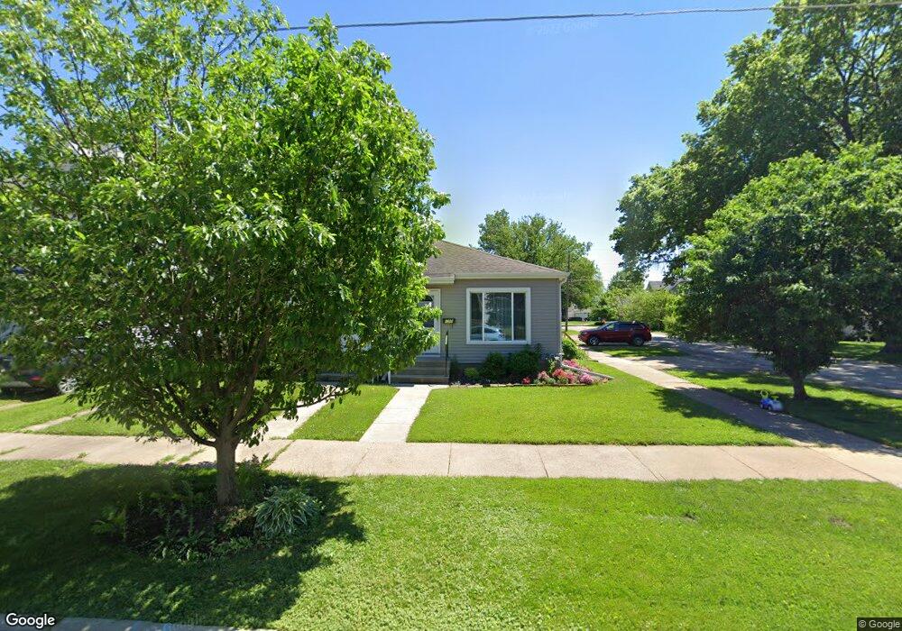
1300 Bertch Ave Unit 1304 Waterloo, IA 50702
Does NeighborhoodEstimated Value: $121,943 - $135,000
4
Beds
2
Baths
1,296
Sq Ft
$97/Sq Ft
Est. Value
About This Home
This home is located at 1300 Bertch Ave Unit 1304, Waterloo, IA 50702 and is currently estimated at $126,236, approximately $97 per square foot. 1300 Bertch Ave Unit 1304 is a home located in Black Hawk County with nearby schools including Lowell Elementary School, Bunger Middle School, and West High School.
Ownership History
Date
Name
Owned For
Owner Type
Purchase Details
Closed on
Aug 26, 2020
Sold by
Andrews Chance Wayne
Bought by
Fischels Holdings Llc
Current Estimated Value
Purchase Details
Closed on
Mar 1, 2018
Sold by
A & B Rentals Llc
Bought by
Andrews Chance W
Purchase Details
Closed on
Apr 17, 2015
Sold by
Risetter Enterprises Llc
Bought by
Dusty Rhodes Llc
Purchase Details
Closed on
Mar 19, 2008
Sold by
Pa Mas Bank
Bought by
Co Ryly Enterprises Llc
Create a Home Valuation Report for This Property
The Home Valuation Report is an in-depth analysis detailing your home's value as well as a comparison with similar homes in the area
Home Values in the Area
Average Home Value in this Area
Purchase History
| Date | Buyer | Sale Price | Title Company |
|---|---|---|---|
| Fischels Holdings Llc | $75,000 | None Available | |
| Andrews Chance W | $79,500 | -- | |
| Dusty Rhodes Llc | $67,000 | None Available | |
| Co Ryly Enterprises Llc | $45,000 | None Available |
Source: Public Records
Tax History
| Year | Tax Paid | Tax Assessment Tax Assessment Total Assessment is a certain percentage of the fair market value that is determined by local assessors to be the total taxable value of land and additions on the property. | Land | Improvement |
|---|---|---|---|---|
| 2025 | $2,462 | $122,180 | $11,540 | $110,640 |
| 2024 | $2,462 | $113,460 | $11,540 | $101,920 |
| 2023 | $1,952 | $113,460 | $11,540 | $101,920 |
| 2022 | $2,034 | $88,840 | $11,540 | $77,300 |
| 2021 | $2,012 | $88,840 | $11,540 | $77,300 |
| 2020 | $1,980 | $88,850 | $8,880 | $79,970 |
| 2019 | $1,980 | $88,850 | $8,880 | $79,970 |
| 2018 | $1,980 | $88,850 | $8,880 | $79,970 |
| 2017 | $2,040 | $88,850 | $8,880 | $79,970 |
| 2016 | $1,904 | $88,850 | $8,880 | $79,970 |
| 2015 | $1,904 | $83,910 | $8,880 | $75,030 |
| 2014 | $1,844 | $79,740 | $8,880 | $70,860 |
Source: Public Records
Map
Nearby Homes
- 1125 Bertch Ave
- 1416 Hawthorne Ave
- 1115 Hawthorne Ave
- 1017 Forest Ave
- 739 W 11th St
- 611 Johnson St
- 1535 Hawthorne Ave
- 1171 Liberty Ave
- 1433 Liberty Ave
- 1600 Forest Ave
- 908 Grant Ave
- 1129 South St
- 826 Williston Ave
- 1181 E Mitchell Ave
- 1141 E Mitchell Ave
- 1013 W 6th St
- 1219 Hammond Ave
- 915 W 5th St
- 922 E Mitchell Ave
- 2425 Randolph St
- 1607 Randolph St Unit 1609
- 1306 Bertch Ave
- 1301 Bertch Ave
- 1312 Bertch Ave
- 1226 Bertch Ave
- 1307 Bertch Ave
- 1318 Bertch Ave
- 1222 Bertch Ave
- 1315 Bertch Ave
- 1227 Bertch Ave
- 1307 Forest Ave
- 1317 Bertch Ave
- 1216 Bertch Ave
- 1223 Bertch Ave
- 1227 Forest Ave
- 1311 Forest Ave
- 1303 Forest Ave
- 1223 Forest Ave
- 1217 Bertch Ave
- 1212 Bertch Ave
Your Personal Tour Guide
Ask me questions while you tour the home.