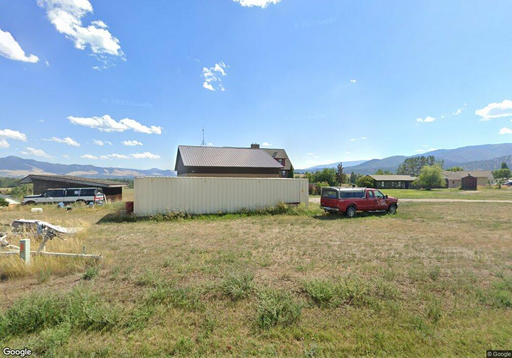
1300 Council Way Missoula, MT 59808
Estimated Value: $400,000 - $470,601
2
Beds
1
Bath
936
Sq Ft
$462/Sq Ft
Est. Value
About This Home
This home is located at 1300 Council Way, Missoula, MT 59808 and is currently estimated at $432,900, approximately $462 per square foot. 1300 Council Way is a home located in Missoula County with nearby schools including Hellgate Elementary Lower Grades, Hellgate Middle School, and Big Sky High School.
Ownership History
Date
Name
Owned For
Owner Type
Purchase Details
Closed on
Jul 24, 2002
Sold by
Reichert Barry and Reichert Carrie
Bought by
Croonenberghs Antony
Current Estimated Value
Home Financials for this Owner
Home Financials are based on the most recent Mortgage that was taken out on this home.
Original Mortgage
$200,000
Interest Rate
6.7%
Purchase Details
Closed on
Jul 22, 2002
Sold by
Reichert Barry and Reichert Carrie
Bought by
Croonenberghs Antony
Home Financials for this Owner
Home Financials are based on the most recent Mortgage that was taken out on this home.
Original Mortgage
$200,000
Interest Rate
6.7%
Create a Home Valuation Report for This Property
The Home Valuation Report is an in-depth analysis detailing your home's value as well as a comparison with similar homes in the area
Home Values in the Area
Average Home Value in this Area
Purchase History
| Date | Buyer | Sale Price | Title Company |
|---|---|---|---|
| Croonenberghs Antony | -- | -- | |
| Croonenberghs Antony | -- | -- |
Source: Public Records
Mortgage History
| Date | Status | Borrower | Loan Amount |
|---|---|---|---|
| Previous Owner | Croonenberghs Antony | $200,000 |
Source: Public Records
Tax History Compared to Growth
Tax History
| Year | Tax Paid | Tax Assessment Tax Assessment Total Assessment is a certain percentage of the fair market value that is determined by local assessors to be the total taxable value of land and additions on the property. | Land | Improvement |
|---|---|---|---|---|
| 2025 | $3,559 | $486,393 | $311,233 | $175,160 |
| 2024 | $4,064 | $366,600 | $221,812 | $144,788 |
| 2023 | $3,501 | $366,600 | $221,812 | $144,788 |
| 2022 | $3,473 | $302,300 | $188,030 | $114,270 |
| 2021 | $3,389 | $302,300 | $0 | $0 |
| 2020 | $3,280 | $281,600 | $0 | $0 |
| 2019 | $3,241 | $281,600 | $0 | $0 |
| 2018 | $2,063 | $178,600 | $0 | $0 |
| 2017 | $2,045 | $178,600 | $0 | $0 |
| 2016 | $1,963 | $183,000 | $0 | $0 |
| 2015 | $1,860 | $183,000 | $0 | $0 |
| 2014 | $1,810 | $96,566 | $0 | $0 |
Source: Public Records
Map
Nearby Homes
- 7950 Toby Way
- 121 New Meadows Dr
- NHN Haven Heights Rd
- 146 New Meadows Dr
- 8105 Pheasant Dr
- 1745 Dino Ct
- 6745 Prairie Schooner Ln
- 2100 Hummingbird Dr
- 1935 Oriole Dr
- 8245 Pheasant Dr
- 2310 Sage Hen Ct
- 6720 Prairie Schooner Ln
- 6445 Mullan Rd
- 2729 Paniolo Place
- 2736 Paniolo Place
- 8645 Mourning Dove Dr
- 2130 Oriole Dr
- 2783 Paniolo Place
- 2789 Paniolo Place
- 6125 Mullan Rd Unit Trlr 5
- 1350 Council Way
- 1250 Council Way
- 1438 Hayes Dr
- 1150 Council Way
- 1400 Council Way
- LOT 20B Marianne Dr
- 1355 Marianne Dr
- Nhn Council Way
- 1355 Douglas Dr
- Lot 2 Council View Estates
- 1410 Council Way
- LOT 28A Toby Way
- NHN Toby Way
- 1201 Council Way
- 1467 Hayes Dr
- 1490 Marianne Dr
- 1455 Marianne Dr
- Lot 3 Council View Estates
- 1450 Hayes Dr
- 1377 Douglas Dr