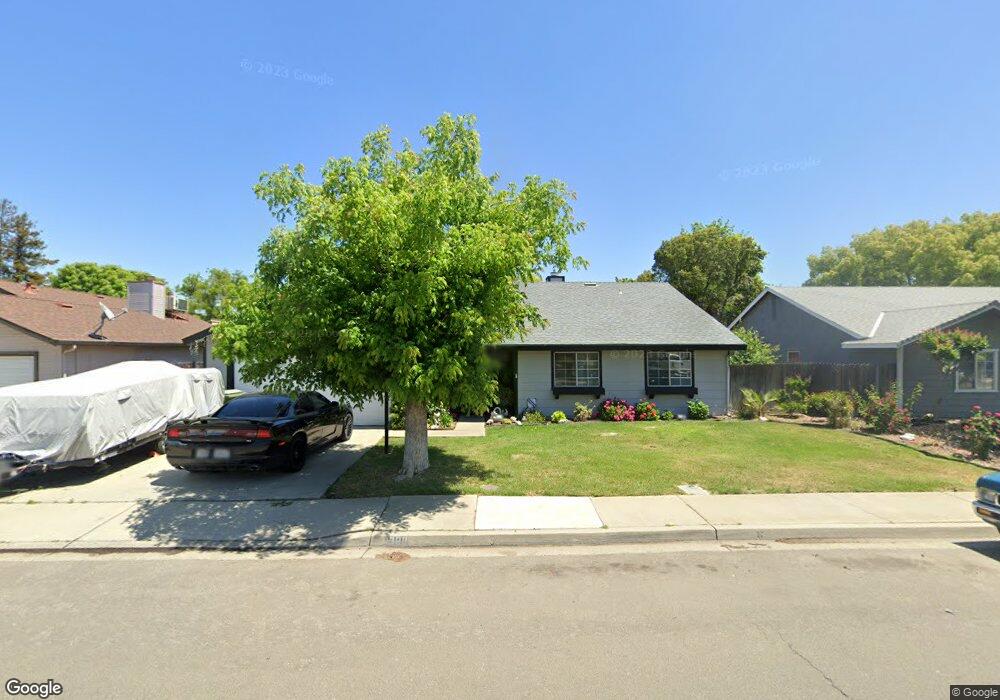
1300 Countryside Dr Turlock, CA 95380
Estimated Value: $350,000 - $442,000
3
Beds
2
Baths
1,183
Sq Ft
$339/Sq Ft
Est. Value
About This Home
This home is located at 1300 Countryside Dr, Turlock, CA 95380 and is currently estimated at $401,445, approximately $339 per square foot. 1300 Countryside Dr is a home located in Stanislaus County with nearby schools including Crowell Elementary School, Marvin A. Dutcher Middle School, and Turlock Junior High School.
Ownership History
Date
Name
Owned For
Owner Type
Purchase Details
Closed on
Feb 8, 2001
Sold by
Chenault Irene
Bought by
Stuart Deborah A
Current Estimated Value
Purchase Details
Closed on
Aug 14, 1997
Sold by
Naranjo Renee L and Naranjo Renee L
Bought by
Naranjo Charlie
Home Financials for this Owner
Home Financials are based on the most recent Mortgage that was taken out on this home.
Original Mortgage
$91,002
Interest Rate
7.43%
Mortgage Type
FHA
Create a Home Valuation Report for This Property
The Home Valuation Report is an in-depth analysis detailing your home's value as well as a comparison with similar homes in the area
Home Values in the Area
Average Home Value in this Area
Purchase History
| Date | Buyer | Sale Price | Title Company |
|---|---|---|---|
| Stuart Deborah A | -- | -- | |
| Naranjo Charlie | -- | Stewart Title |
Source: Public Records
Mortgage History
| Date | Status | Borrower | Loan Amount |
|---|---|---|---|
| Previous Owner | Naranjo Charlie | $91,002 |
Source: Public Records
Tax History Compared to Growth
Tax History
| Year | Tax Paid | Tax Assessment Tax Assessment Total Assessment is a certain percentage of the fair market value that is determined by local assessors to be the total taxable value of land and additions on the property. | Land | Improvement |
|---|---|---|---|---|
| 2025 | $1,458 | $142,576 | $45,927 | $96,649 |
| 2024 | $1,429 | $139,781 | $45,027 | $94,754 |
| 2023 | $1,425 | $137,042 | $44,145 | $92,897 |
| 2022 | $1,406 | $134,356 | $43,280 | $91,076 |
| 2021 | $1,384 | $131,723 | $42,432 | $89,291 |
| 2020 | $1,374 | $130,373 | $41,997 | $88,376 |
| 2019 | $1,349 | $127,818 | $41,174 | $86,644 |
| 2018 | $1,346 | $125,313 | $40,367 | $84,946 |
| 2017 | $1,313 | $122,857 | $39,576 | $83,281 |
| 2016 | $1,225 | $120,449 | $38,800 | $81,649 |
| 2015 | $1,213 | $118,641 | $38,218 | $80,423 |
| 2014 | $1,200 | $116,318 | $37,470 | $78,848 |
Source: Public Records
Map
Nearby Homes
- 1357 Mark Ct
- 2450 Fulkerth Rd
- 981 Countryside Dr
- 2400 Fulkerth Rd
- 2631 Polous Dr
- 1400 N Tully Rd Unit 173
- 1400 N Tully Rd Unit 187
- 842 Lazarine Ct
- 1330 Dianne Dr
- 500 N Tully Rd Unit 39
- 500 N Tully Rd Unit 110
- 1467 Mello Ct
- 2175 W Main St
- 2226 Typhoon Ct
- 2391 Typhoon Dr
- 2625 W Main St
- 3000 W Tuolumne Rd
- 3131 W Main St
- 2531 Craftsman St
- 1043 Chestnut St
- 1250 Countryside Dr
- 2450 Branding Iron Dr
- 1355 Nathan Ct
- 2400 Branding Iron Dr
- 1305 Nathan Ct
- 2455 Mayfaire Dr
- 2405 Mayfaire Dr
- 1255 Countryside Dr
- 1305 Countryside Dr
- 1225 Countryside Dr
- 2395 Mayfaire Dr
- 2451 Branding Iron Dr
- 1355 Countryside Dr
- 1205 Countryside Dr
- 1300 Nathan Ct
- 2401 Branding Iron Dr
- 1401 Countryside Dr
- 2365 Mayfaire Dr
- 1350 Nathan Ct
- 2350 Branding Iron Dr