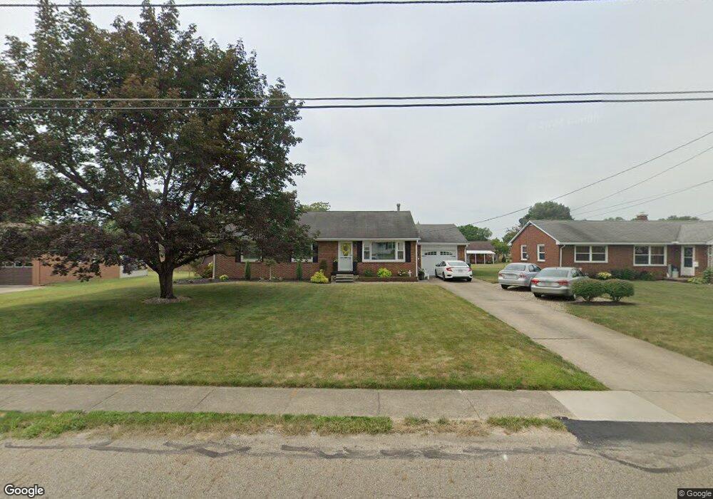
1300 E Broad St Louisville, OH 44641
Estimated Value: $193,591 - $224,000
3
Beds
2
Baths
1,288
Sq Ft
$161/Sq Ft
Est. Value
About This Home
This home is located at 1300 E Broad St, Louisville, OH 44641 and is currently estimated at $206,898, approximately $160 per square foot. 1300 E Broad St is a home located in Stark County with nearby schools including Louisville High School and St. Thomas Aquinas High School & Middle School.
Ownership History
Date
Name
Owned For
Owner Type
Purchase Details
Closed on
May 18, 2016
Sold by
Allan Denise E
Bought by
Hane Molly
Current Estimated Value
Home Financials for this Owner
Home Financials are based on the most recent Mortgage that was taken out on this home.
Original Mortgage
$116,303
Outstanding Balance
$92,374
Interest Rate
3.59%
Mortgage Type
New Conventional
Estimated Equity
$114,524
Purchase Details
Closed on
Oct 12, 2011
Sold by
Lab Judith A
Bought by
Allan Denise E
Home Financials for this Owner
Home Financials are based on the most recent Mortgage that was taken out on this home.
Original Mortgage
$95,950
Interest Rate
4.22%
Mortgage Type
FHA
Purchase Details
Closed on
Feb 9, 2010
Sold by
Lab Judith A
Bought by
Lab Judith A and The Lab Family Revocable Living Trust
Purchase Details
Closed on
Jan 20, 2010
Sold by
Walpole Beth Ann and Walpole Gregory A
Bought by
Lab Judith A
Create a Home Valuation Report for This Property
The Home Valuation Report is an in-depth analysis detailing your home's value as well as a comparison with similar homes in the area
Home Values in the Area
Average Home Value in this Area
Purchase History
| Date | Buyer | Sale Price | Title Company |
|---|---|---|---|
| Hane Molly | $119,900 | None Available | |
| Allan Denise E | $99,000 | Attorney | |
| Lab Judith A | -- | Attorney | |
| Lab Judith A | -- | Attorney |
Source: Public Records
Mortgage History
| Date | Status | Borrower | Loan Amount |
|---|---|---|---|
| Open | Hane Molly | $116,303 | |
| Previous Owner | Allan Denise E | $95,950 |
Source: Public Records
Tax History Compared to Growth
Tax History
| Year | Tax Paid | Tax Assessment Tax Assessment Total Assessment is a certain percentage of the fair market value that is determined by local assessors to be the total taxable value of land and additions on the property. | Land | Improvement |
|---|---|---|---|---|
| 2025 | -- | $49,250 | $11,620 | $37,630 |
| 2024 | -- | $49,250 | $11,620 | $37,630 |
| 2023 | $1,839 | $42,770 | $10,990 | $31,780 |
| 2022 | $1,844 | $42,770 | $10,990 | $31,780 |
| 2021 | $1,849 | $42,770 | $10,990 | $31,780 |
| 2020 | $1,511 | $37,950 | $9,910 | $28,040 |
| 2019 | $1,517 | $37,950 | $9,910 | $28,040 |
| 2018 | $1,512 | $37,950 | $9,910 | $28,040 |
| 2017 | $1,393 | $33,740 | $8,680 | $25,060 |
| 2016 | $1,421 | $33,740 | $8,680 | $25,060 |
| 2015 | $1,464 | $34,650 | $8,680 | $25,970 |
| 2014 | $1,362 | $29,970 | $7,530 | $22,440 |
| 2013 | $685 | $29,970 | $7,530 | $22,440 |
Source: Public Records
Map
Nearby Homes
- 308 Superior St
- 641 S Nickelplate St
- 520 S Silver St
- 728 E Broad St
- 1715 High St
- 0 Michigan Blvd
- 1812 E Broad St
- 204 E Broad St
- 107 E Broad St
- 325 Lincoln Ave
- 2015 E Main St
- 2110 Edmar St
- 1170 Winding Ridge Ave
- 908 Sand Lot Cir
- 910 Crosswyck Cir
- 428 Honeycrisp Dr NE
- 3047 Mcintosh Dr NE
- 432 Honeycrisp Dr NE
- 2962 Mcintosh Dr NE
- 2963 Mcintosh Dr NE
- 1216 E Broad St
- 1306 E Broad St
- 1305 High St
- 1219 High St
- 1223 E Broad St
- 1303 E Broad St
- 506 S Nickelplate St
- 1311 High St
- 509 Richards Dr
- 1215 E Broad St
- 1309 E Broad St
- 600 S Nickelplate St
- 1321 High St
- 0 E Broad St
- 426 S Nickelplate St
- 420 S Nickelplate St
- 1321 E Broad St
- 1300 Monter Ave
- 1220 Monter Ave
- 1306 Monter Ave