1300 Flying Hawk Rd Apex, NC 27523
Green Level NeighborhoodEstimated Value: $611,000 - $961,909
Studio
2
Baths
2,096
Sq Ft
$389/Sq Ft
Est. Value
About This Home
This home is located at 1300 Flying Hawk Rd, Apex, NC 27523 and is currently estimated at $815,227, approximately $388 per square foot. 1300 Flying Hawk Rd is a home located in Wake County with nearby schools including Salem Elementary, Salem Middle, and Green Level High School.
Ownership History
Date
Name
Owned For
Owner Type
Purchase Details
Closed on
May 15, 2003
Sold by
Lee Helen E
Bought by
Jay John and Jay Paula C
Current Estimated Value
Home Financials for this Owner
Home Financials are based on the most recent Mortgage that was taken out on this home.
Original Mortgage
$224,000
Outstanding Balance
$97,142
Interest Rate
5.76%
Mortgage Type
Purchase Money Mortgage
Estimated Equity
$718,085
Create a Home Valuation Report for This Property
The Home Valuation Report is an in-depth analysis detailing your home's value as well as a comparison with similar homes in the area
Home Values in the Area
Average Home Value in this Area
Purchase History
We collect this data history from publicly available records. To have your information removed, we recommend requesting removal directly through your county’s website.
| Date | Buyer | Sale Price | Title Company |
|---|---|---|---|
| Jay John | $292,500 | -- |
Source: Public Records
Mortgage History
We collect this data history from publicly available records. To have your information removed, we recommend requesting removal directly through your county’s website.
| Date | Status | Borrower | Loan Amount |
|---|---|---|---|
| Open | Jay John | $224,000 |
Source: Public Records
Tax History
| Year | Tax Paid | Tax Assessment Tax Assessment Total Assessment is a certain percentage of the fair market value that is determined by local assessors to be the total taxable value of land and additions on the property. | Land | Improvement |
|---|---|---|---|---|
| 2025 | $5,210 | $825,786 | $508,020 | $317,766 |
| 2024 | $5,059 | $811,406 | $508,020 | $303,386 |
| 2023 | $3,856 | $491,944 | $272,880 | $219,064 |
| 2022 | $3,573 | $491,944 | $272,880 | $219,064 |
| 2021 | $3,477 | $491,944 | $272,880 | $219,064 |
| 2020 | $3,419 | $491,944 | $272,880 | $219,064 |
| 2019 | $3,117 | $379,163 | $215,880 | $163,283 |
| 2018 | $2,865 | $379,163 | $215,880 | $163,283 |
| 2017 | $2,716 | $379,163 | $215,880 | $163,283 |
| 2016 | $2,661 | $379,163 | $215,880 | $163,283 |
| 2015 | $2,276 | $324,834 | $155,760 | $169,074 |
| 2014 | -- | $324,834 | $155,760 | $169,074 |
Source: Public Records
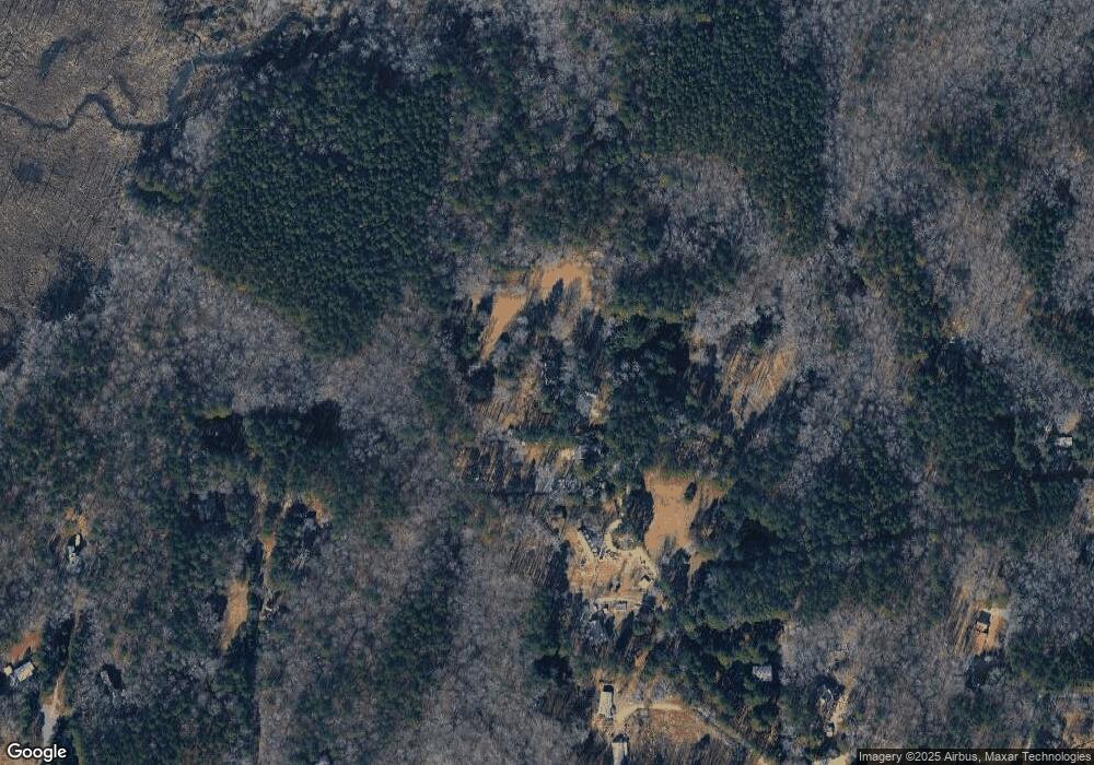
Map
Nearby Homes
- 11063 U S Highway 64
- 3612 U S Highway 64
- 3212 Us 64 Hwy W
- 408 Pendennis Park Place
- 7529 Creekbird Rd
- 3410 Dropseed Dr
- 3418 Dropseed Dr
- 2966 Rise and Shine Rd
- 1130 Doe Blossom Ln
- 3401 Antler View Dr
- 3411 Antler View Dr
- 3223 Bellamy Ridge Dr
- 2809 U S Highway 64
- 316 MacOn Lake Dr
- 310 MacOn Lake Dr
- 363 MacOn Lake Dr
- 339 MacOn Lake Dr
- 327 MacOn Lake Dr
- 315 MacOn Lake Dr
- 346 MacOn Lake Dr
- 1304 Flying Hawk Rd
- 1301 Flying Hawk Rd
- 1312 Flying Hawk Rd
- 1400 Flying Hawk Rd
- 1404 Flying Hawk Rd
- 1307 Hattie Rd
- 1317 Flying Hawk Rd
- 1312 Hattie Rd
- 1321 Hattie Rd
- 3829 Wizard Ln
- 8324 Goodwin Rd
- 3831 Wizard Ln
- 8344 Broken Yolk Trail
- 1413 Hattie Rd
- 1404 Hattie Rd
- 8324 Broken Yolk Trail
- 1416 Flying Hawk Rd
- 8345 Broken Yolk Trail
- 8345 Broken Yolk Trail
- 3830 Wizard Ln
Your Personal Tour Guide
Ask me questions while you tour the home.