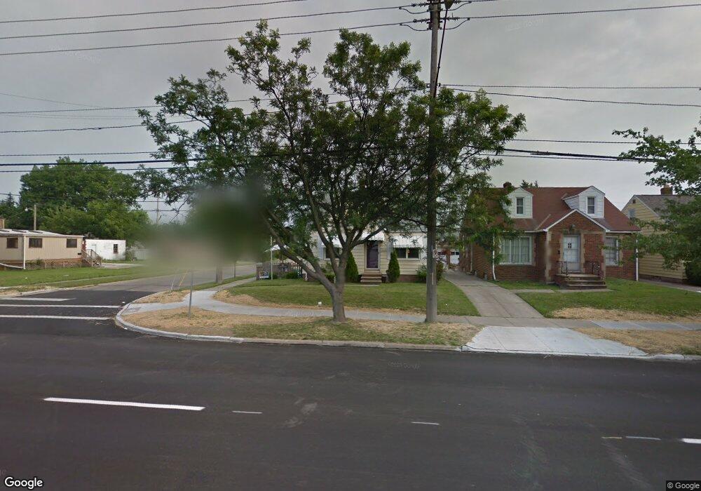
13001 Rockside Rd Cleveland, OH 44125
Estimated Value: $98,000 - $141,000
2
Beds
1
Bath
696
Sq Ft
$163/Sq Ft
Est. Value
About This Home
This home is located at 13001 Rockside Rd, Cleveland, OH 44125 and is currently estimated at $113,749, approximately $163 per square foot. 13001 Rockside Rd is a home located in Cuyahoga County with nearby schools including Garfield Heights High School, St Benedict Catholic School, and Trinity High School.
Ownership History
Date
Name
Owned For
Owner Type
Purchase Details
Closed on
Jun 29, 1998
Sold by
Aldridge Lisa M
Bought by
Newrones Philip J and Woollacott Jennifer
Current Estimated Value
Home Financials for this Owner
Home Financials are based on the most recent Mortgage that was taken out on this home.
Original Mortgage
$72,360
Outstanding Balance
$15,156
Interest Rate
7.27%
Mortgage Type
FHA
Estimated Equity
$98,593
Purchase Details
Closed on
Apr 8, 1994
Sold by
Marton Joanne P
Bought by
Aldridge Lisa M
Purchase Details
Closed on
Mar 28, 1989
Sold by
Henry J Lukwinski
Bought by
Marton Joanne P
Purchase Details
Closed on
Mar 4, 1983
Sold by
Pfundstein Phyllis
Bought by
Henry J Lukwinski
Purchase Details
Closed on
Jan 1, 1975
Bought by
Lukwinski Ethel L
Create a Home Valuation Report for This Property
The Home Valuation Report is an in-depth analysis detailing your home's value as well as a comparison with similar homes in the area
Home Values in the Area
Average Home Value in this Area
Purchase History
| Date | Buyer | Sale Price | Title Company |
|---|---|---|---|
| Newrones Philip J | $73,000 | -- | |
| Aldridge Lisa M | $59,000 | -- | |
| Marton Joanne P | $47,900 | -- | |
| Henry J Lukwinski | $19,000 | -- | |
| Lukwinski Ethel L | -- | -- |
Source: Public Records
Mortgage History
| Date | Status | Borrower | Loan Amount |
|---|---|---|---|
| Open | Newrones Philip J | $72,360 |
Source: Public Records
Tax History Compared to Growth
Tax History
| Year | Tax Paid | Tax Assessment Tax Assessment Total Assessment is a certain percentage of the fair market value that is determined by local assessors to be the total taxable value of land and additions on the property. | Land | Improvement |
|---|---|---|---|---|
| 2024 | $3,586 | $34,685 | $6,720 | $27,965 |
| 2023 | $2,579 | $22,720 | $5,460 | $17,260 |
| 2022 | $2,538 | $22,720 | $5,460 | $17,260 |
| 2021 | $2,680 | $22,720 | $5,460 | $17,260 |
| 2020 | $2,309 | $18,170 | $4,380 | $13,790 |
| 2019 | $2,289 | $51,900 | $12,500 | $39,400 |
| 2018 | $2,338 | $18,170 | $4,380 | $13,790 |
| 2017 | $2,414 | $18,100 | $3,680 | $14,420 |
| 2016 | $2,449 | $18,100 | $3,680 | $14,420 |
| 2015 | $2,353 | $18,100 | $3,680 | $14,420 |
| 2014 | $2,353 | $19,040 | $3,850 | $15,190 |
Source: Public Records
Map
Nearby Homes
- 13101 Littleton Rd
- 12930 Havana Rd
- 13304 Orme Rd
- 13009 Orme Rd
- 12804 Havana Rd
- 13310 Thraves Ave
- 12912 Thraves Rd
- 12955 Milo Rd
- 5817 Turney Rd
- 13712 Rockside Rd
- 6133 Turney Rd
- 13405 York Blvd
- 13619 Thraves Ave
- 13804 Rockside Rd
- 13732 Carpenter Rd
- 13835 Milo Rd
- 5781 Turney Rd
- 12512 York Blvd
- 13713 York Blvd
- 12203 Havana Rd
- 13005 Rockside Rd
- 13101 Rockside Rd
- 12929 Rockside Rd
- 13105 Rockside Rd
- 13004 Littleton Rd
- 13008 Littleton Rd
- 13100 Littleton Rd
- 12930 Littleton Rd
- 13201 Rockside Rd
- 13104 Littleton Rd
- 13004 Rockside Rd
- 13205 Rockside Rd
- 13200 Littleton Rd
- 12922 Littleton Rd
- 13102 Rockside Rd
- 12934 Rockside Rd
- 13106 Rockside Rd
- 13204 Littleton Rd
- 13209 Rockside Rd
- 12920 Littleton Rd