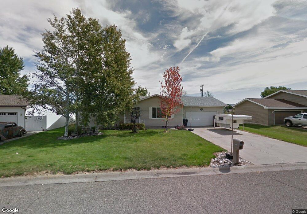
1301 Hardrock Ln Billings, MT 59105
Billings Heights NeighborhoodEstimated Value: $353,330 - $387,000
5
Beds
3
Baths
1,260
Sq Ft
$298/Sq Ft
Est. Value
About This Home
This home is located at 1301 Hardrock Ln, Billings, MT 59105 and is currently estimated at $375,333, approximately $297 per square foot. 1301 Hardrock Ln is a home located in Yellowstone County with nearby schools including Sandstone School, Castle Rock Junior High School, and Skyview High School.
Ownership History
Date
Name
Owned For
Owner Type
Purchase Details
Closed on
Sep 24, 2007
Sold by
Simons John A and Simons Ellen Marie
Bought by
Shelton Michael L
Current Estimated Value
Home Financials for this Owner
Home Financials are based on the most recent Mortgage that was taken out on this home.
Original Mortgage
$147,300
Outstanding Balance
$93,260
Interest Rate
6.57%
Mortgage Type
Purchase Money Mortgage
Estimated Equity
$282,073
Purchase Details
Closed on
Jun 28, 2005
Sold by
Anerson Gene D and Anerson Stacey D
Bought by
Simons John A and Simons Ellen Marie
Home Financials for this Owner
Home Financials are based on the most recent Mortgage that was taken out on this home.
Original Mortgage
$127,900
Interest Rate
5.58%
Mortgage Type
New Conventional
Create a Home Valuation Report for This Property
The Home Valuation Report is an in-depth analysis detailing your home's value as well as a comparison with similar homes in the area
Home Values in the Area
Average Home Value in this Area
Purchase History
| Date | Buyer | Sale Price | Title Company |
|---|---|---|---|
| Shelton Michael L | -- | Stewart Title Of Billings | |
| Simons John A | -- | None Available |
Source: Public Records
Mortgage History
| Date | Status | Borrower | Loan Amount |
|---|---|---|---|
| Open | Shelton Michael L | $147,300 | |
| Closed | Shelton Michael L | $20,000 | |
| Previous Owner | Simons John A | $127,900 |
Source: Public Records
Tax History Compared to Growth
Tax History
| Year | Tax Paid | Tax Assessment Tax Assessment Total Assessment is a certain percentage of the fair market value that is determined by local assessors to be the total taxable value of land and additions on the property. | Land | Improvement |
|---|---|---|---|---|
| 2025 | $3,493 | $369,300 | $65,859 | $303,441 |
| 2024 | $3,493 | $343,100 | $65,302 | $277,798 |
| 2023 | $3,498 | $349,600 | $65,302 | $284,298 |
| 2022 | $2,333 | $247,100 | $0 | $0 |
| 2021 | $2,766 | $247,100 | $0 | $0 |
| 2020 | $2,725 | $232,300 | $0 | $0 |
| 2019 | $2,575 | $232,300 | $0 | $0 |
| 2018 | $2,451 | $212,500 | $0 | $0 |
| 2017 | $2,383 | $212,500 | $0 | $0 |
| 2016 | $2,218 | $198,900 | $0 | $0 |
| 2015 | $2,171 | $198,900 | $0 | $0 |
| 2014 | $2,010 | $97,096 | $0 | $0 |
Source: Public Records
Map
Nearby Homes
- 69 Nugget Place
- 1029 Nutter Blvd
- 1410 Twin Oaks Dr
- 1422 Watson Peak Rd
- 218 Reda Ln Unit 4
- 218 Reda Ln Unit 3
- 277 Westchester Square S
- 1443 Twin Oaks Dr
- 228 Nash Ln
- 225 Windsor Cir N
- 1322 Babcock Cir
- TBD Saint Andrews Dr
- 385 Prospectors Ln
- 211 Stillwater Ln
- 130 132 Stillwater Ln
- lot 12 Southern Sky Estates
- 1717 Sylvan Ln
- 320 Stewart Ct N
- 324 Stewart Ct N
- 1725 Broadview Dr
- 1281 Hardrock Ln
- 1311 Hardrock Ln
- 1317 Hardrock Ln
- 1310 Hardrock Ln
- 1319 Hardrock Ln
- 1271 Hardrock Ln
- 1270 Hardrock Ln
- 1330 Hardrock Ln
- 1292 Grubstake Cir
- 1327 Hardrock Ln
- 1327 Hardrock Ln Unit 1327 hardrock 1
- 1327 Hardrock Ln Unit 1327 hardrock 2
- 1261 Hardrock Ln
- 1332 Watson Peak Rd
- 1332 Watson Peak Rd
- 1344 Watson Peak Rd
- 1320 Watson Peak Rd
- 1281 Grubstake Cir
- 1356 Watson Peak Rd
- 1260 Hardrock Ln