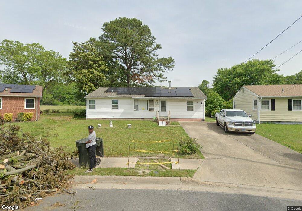
1301 Saxton Dr Hampton, VA 23669
Phoebus NeighborhoodEstimated Value: $237,000 - $249,000
3
Beds
1
Bath
1,248
Sq Ft
$193/Sq Ft
Est. Value
About This Home
This home is located at 1301 Saxton Dr, Hampton, VA 23669 and is currently estimated at $241,064, approximately $193 per square foot. 1301 Saxton Dr is a home located in Hampton City with nearby schools including Capt. John Smith Elementary School, Benjamin Syms Middle School, and Phoebus High School.
Ownership History
Date
Name
Owned For
Owner Type
Purchase Details
Closed on
Dec 15, 2003
Sold by
Gaynor George
Bought by
Rumble Walter
Current Estimated Value
Home Financials for this Owner
Home Financials are based on the most recent Mortgage that was taken out on this home.
Original Mortgage
$80,750
Outstanding Balance
$37,470
Interest Rate
5.9%
Mortgage Type
New Conventional
Estimated Equity
$203,594
Create a Home Valuation Report for This Property
The Home Valuation Report is an in-depth analysis detailing your home's value as well as a comparison with similar homes in the area
Home Values in the Area
Average Home Value in this Area
Purchase History
| Date | Buyer | Sale Price | Title Company |
|---|---|---|---|
| Rumble Walter | $89,000 | -- |
Source: Public Records
Mortgage History
| Date | Status | Borrower | Loan Amount |
|---|---|---|---|
| Open | Rumble Walter | $80,750 |
Source: Public Records
Tax History
| Year | Tax Paid | Tax Assessment Tax Assessment Total Assessment is a certain percentage of the fair market value that is determined by local assessors to be the total taxable value of land and additions on the property. | Land | Improvement |
|---|---|---|---|---|
| 2025 | $2,997 | $233,200 | $57,000 | $176,200 |
| 2024 | $2,459 | $213,800 | $57,000 | $156,800 |
| 2023 | $2,035 | $175,400 | $50,000 | $125,400 |
| 2022 | $2,051 | $173,800 | $50,000 | $123,800 |
| 2021 | $1,846 | $138,400 | $40,000 | $98,400 |
| 2020 | $1,409 | $113,600 | $35,900 | $77,700 |
| 2019 | $1,409 | $113,600 | $35,900 | $77,700 |
| 2018 | $1,488 | $111,300 | $35,900 | $75,400 |
| 2017 | $1,474 | $0 | $0 | $0 |
| 2016 | $1,474 | $111,300 | $0 | $0 |
| 2015 | $1,474 | $0 | $0 | $0 |
| 2014 | $1,502 | $114,400 | $35,900 | $78,500 |
Source: Public Records
Map
Nearby Homes
- 1307 Colebrook Dr
- 1314 Saxton Dr
- 15 Gayle St
- 55 Calhoun St
- 51 Calhoun St
- 124 Southerland Dr
- 304 Woodland Rd
- 208 Woodland Rd
- 122 Chichester Ave
- 54 George Ct
- 11 Sherazi Dr
- LOT 17 Prentiss Ln
- 105 Prentiss Ln
- 573 Old Point Ave
- 1002 E Pembroke Ave
- 1445 Oakcrest Dr
- 168 Woodland Rd
- 7 S Cypress St
- 816 Old Point Ave
- 16 S Cypress St
- 1303 Saxton Dr
- 245 Canford Dr
- 1305 Saxton Dr
- 243 Canford Dr
- 242 Canford Dr
- 241 Canford Dr
- 1306 Saxton Dr
- 1307 Saxton Dr
- 240 Canford Dr
- 1308 Saxton Dr
- 239 Canford Dr
- 238 Canford Dr
- 1309 Saxton Dr
- 1303 Woodcrest Dr
- 1310 Saxton Dr
- 1305 Woodcrest Dr
- 1311 Saxton Dr
- 1312 Saxton Dr
- 1307 Woodcrest Dr
- 234 Canford Dr
Your Personal Tour Guide
Ask me questions while you tour the home.