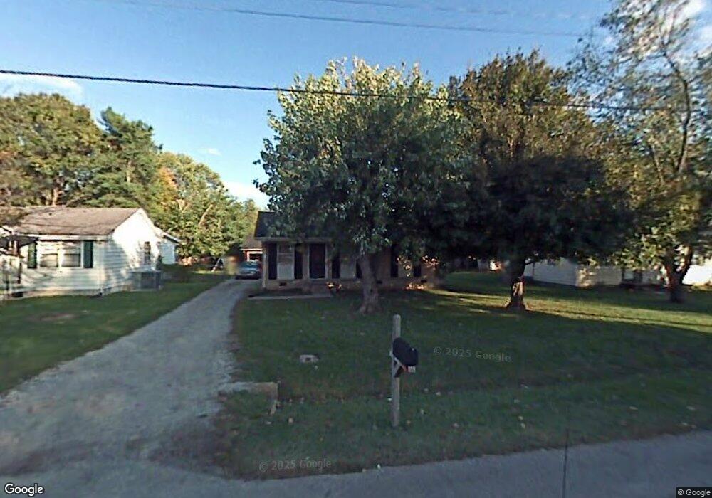
1301 Windsor Dr Franklin, TN 37064
Central Franklin NeighborhoodEstimated Value: $364,000 - $546,000
Studio
1
Bath
925
Sq Ft
$500/Sq Ft
Est. Value
About This Home
This home is located at 1301 Windsor Dr, Franklin, TN 37064 and is currently estimated at $462,800, approximately $500 per square foot. 1301 Windsor Dr is a home located in Williamson County with nearby schools including Franklin Elementary School, Freedom Intermediate School, and Freedom Middle School.
Ownership History
Date
Name
Owned For
Owner Type
Purchase Details
Closed on
Nov 13, 2012
Sold by
Fannie Mae
Bought by
Davis Saundra L
Current Estimated Value
Home Financials for this Owner
Home Financials are based on the most recent Mortgage that was taken out on this home.
Original Mortgage
$121,250
Outstanding Balance
$83,525
Interest Rate
3.4%
Mortgage Type
New Conventional
Estimated Equity
$379,275
Purchase Details
Closed on
Jul 31, 2012
Sold by
Buchanan Clarence E
Bought by
Federal National Mortgage Association
Purchase Details
Closed on
Aug 7, 2003
Sold by
The Trust Of Clarence Buchanan and Buchanan Clarence
Bought by
Buchanan Clarence
Purchase Details
Closed on
Dec 19, 1993
Sold by
Clarence Buchanan
Bought by
Buchanan Clarence Trust
Create a Home Valuation Report for This Property
The Home Valuation Report is an in-depth analysis detailing your home's value as well as a comparison with similar homes in the area
Home Values in the Area
Average Home Value in this Area
Purchase History
| Date | Buyer | Sale Price | Title Company |
|---|---|---|---|
| Davis Saundra L | $125,000 | None Available | |
| Federal National Mortgage Association | $114,612 | None Available | |
| Buchanan Clarence | -- | Nations Title Of Tennessee | |
| Buchanan Clarence Trust | -- | -- |
Source: Public Records
Mortgage History
| Date | Status | Borrower | Loan Amount |
|---|---|---|---|
| Open | Davis Saundra L | $121,250 |
Source: Public Records
Tax History
| Year | Tax Paid | Tax Assessment Tax Assessment Total Assessment is a certain percentage of the fair market value that is determined by local assessors to be the total taxable value of land and additions on the property. | Land | Improvement |
|---|---|---|---|---|
| 2025 | $1,865 | $115,825 | $81,250 | $34,575 |
| 2024 | $1,865 | $65,850 | $33,750 | $32,100 |
| 2023 | $1,792 | $65,850 | $33,750 | $32,100 |
| 2022 | $1,792 | $65,850 | $33,750 | $32,100 |
| 2021 | $1,792 | $65,850 | $33,750 | $32,100 |
| 2020 | $1,230 | $38,150 | $15,000 | $23,150 |
| 2019 | $1,230 | $38,150 | $15,000 | $23,150 |
| 2018 | $1,204 | $38,150 | $15,000 | $23,150 |
| 2017 | $1,185 | $38,150 | $15,000 | $23,150 |
| 2016 | $1,181 | $38,150 | $15,000 | $23,150 |
Source: Public Records
Map
Nearby Homes
- 1303 Chickering Dr Unit 101 & 102
- 7148 Bonterra Dr
- 7152 Bonterra Dr
- 3008 Eliot Rd
- 2042 Township Dr
- 1013 William St
- 2009 Landry Place
- 1309 Windsor Dr
- 5603 Winslet Dr
- 704 W End Cir
- 1315 Robin Hill Rd
- 621 W Meade Blvd
- 623 W Meade Blvd
- 804 W End Cir
- 1319 W Main St Unit 108
- 1319 W Main St Unit 104
- 1319 W Main St Unit 303
- 503 Perkins Dr
- 312 Everbright St Unit B
- 1191 W Main St
- 1303 Windsor Dr
- 1259 Windsor Dr
- 1305 Windsor Dr
- 1257 Windsor Dr
- 1300 Chickering Dr
- 1302 Chickering Dr
- 1258 Chickering Dr
- 101 Sherwood Terrace
- 1304 Chickering Dr
- 1307 Windsor Dr
- 1255 Windsor Dr
- 100 Sherwood Terrace
- 1256 Chickering Dr
- 1306 Chickering Dr
- 103 Sherwood Terrace
- 2012 Township Dr
- 1907 Eliot Rd
- 2018 Nathaniel Rd
- 2005 Landry Place
- 1024 William St
Your Personal Tour Guide
Ask me questions while you tour the home.