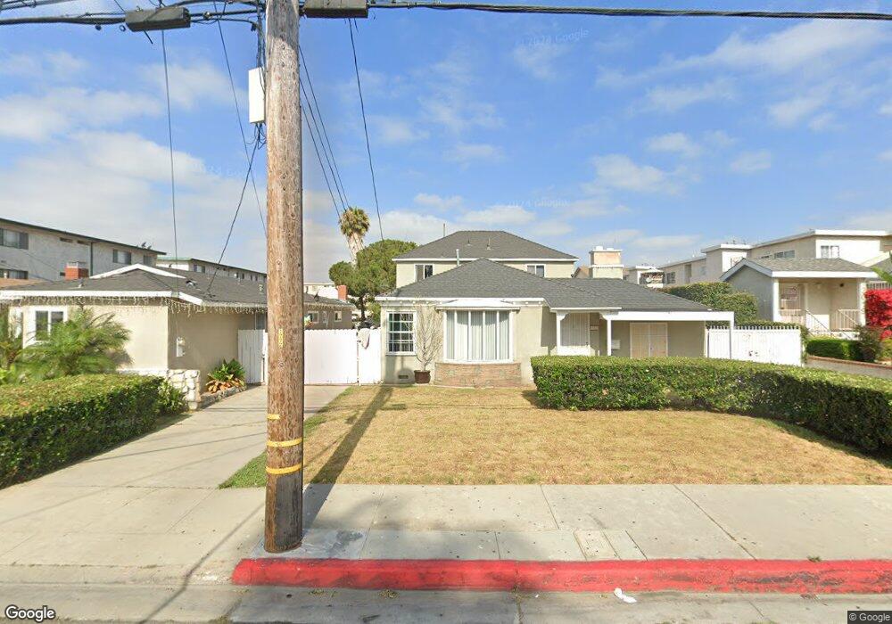
13027 Kornblum Ave Hawthorne, CA 90250
Estimated Value: $721,000 - $889,000
3
Beds
2
Baths
1,580
Sq Ft
$513/Sq Ft
Est. Value
About This Home
This home is located at 13027 Kornblum Ave, Hawthorne, CA 90250 and is currently estimated at $810,539, approximately $512 per square foot. 13027 Kornblum Ave is a home located in Los Angeles County with nearby schools including Kornblum School, Bud Carson Middle School, and Leuzinger High School.
Ownership History
Date
Name
Owned For
Owner Type
Purchase Details
Closed on
Nov 22, 2022
Sold by
Ainsworth Stephanie Kaye
Bought by
Stephanie K Ainsworth Trust
Current Estimated Value
Purchase Details
Closed on
Mar 14, 2005
Sold by
Ainsworth Stephanie Kaye and Ainsworth Victoria Ann
Bought by
Ainsworth Stephanie Kaye
Purchase Details
Closed on
Mar 5, 2005
Sold by
Gonzales Timothy Paul
Bought by
Ainsworth Stephanie Kaye
Purchase Details
Closed on
Aug 22, 1996
Sold by
Ainsworth Bernard J
Bought by
Ainsworth Bernard J and The 1996 Bernard J Ainsworth Trust
Create a Home Valuation Report for This Property
The Home Valuation Report is an in-depth analysis detailing your home's value as well as a comparison with similar homes in the area
Home Values in the Area
Average Home Value in this Area
Purchase History
| Date | Buyer | Sale Price | Title Company |
|---|---|---|---|
| Stephanie K Ainsworth Trust | -- | -- | |
| Ainsworth Stephanie Kaye | -- | -- | |
| Ainsworth Stephanie Kaye | -- | -- | |
| Ainsworth Stephanie Kaye | -- | -- | |
| Ainsworth Bernard J | -- | -- |
Source: Public Records
Tax History Compared to Growth
Tax History
| Year | Tax Paid | Tax Assessment Tax Assessment Total Assessment is a certain percentage of the fair market value that is determined by local assessors to be the total taxable value of land and additions on the property. | Land | Improvement |
|---|---|---|---|---|
| 2025 | $1,787 | $90,160 | $52,922 | $37,238 |
| 2024 | $1,787 | $88,393 | $51,885 | $36,508 |
| 2023 | $1,746 | $86,661 | $50,868 | $35,793 |
| 2022 | $1,756 | $84,963 | $49,871 | $35,092 |
| 2021 | $1,731 | $83,298 | $48,894 | $34,404 |
| 2019 | $1,688 | $80,830 | $47,445 | $33,385 |
| 2018 | $1,523 | $79,246 | $46,515 | $32,731 |
| 2016 | $1,450 | $76,170 | $44,709 | $31,461 |
| 2015 | $1,425 | $75,027 | $44,038 | $30,989 |
| 2014 | $1,430 | $73,558 | $43,176 | $30,382 |
Source: Public Records
Map
Nearby Homes
- 12914 Doty Ave
- 12716 Kornblum Ave
- 12612 Kornblum Ave
- 3506 W 133rd St
- 12512 Kornblum Ave
- 3357 W 134th Place
- 3512 W 135th St
- 3353 W 135th St
- 13534 Cordary Ave Unit 14
- 3237 W 132nd St
- 13006 Jefferson Ave
- 12539 York Ave
- 12443 York Ave
- 13717 Chadron Ave
- 4302 W 133rd St
- 14002 Cerise Ave Unit 11
- 14012 Cerise Ave Unit 3
- 12115 York Ave Unit 2
- 14110 Yukon Ave
- 4026 W 120th St
- 13023 Kornblum Ave
- 13105 Kornblum Ave Unit M
- 13109 Kornblum Ave
- 13104 Kornblum Ave
- 13108 Kornblum Ave
- 13026 Kornblum Ave
- 13112 Kornblum Ave
- 13116 Kornblum Ave
- 3715 W 132nd St
- 13020 Kornblum Ave
- 3719 W 132nd St
- 3707 W 132nd St
- 3711 W 132nd St
- 3703 W 132nd St
- 3729 W 132nd St
- 3729 W 132nd St Unit Haw 3729 1
- 13120 Kornblum Ave
- 3723 W 132nd St
- 13102 Kornblum Ave
- 3655 W 132nd St