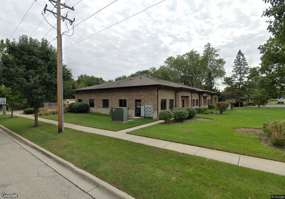
1303 S Main St Algonquin, IL 60102
Traube Fox River View NeighborhoodEstimated Value: $186,500
Studio
--
Bath
1,309
Sq Ft
$142/Sq Ft
Est. Value
About This Home
This home is located at 1303 S Main St, Algonquin, IL 60102 and is currently estimated at $186,500, approximately $142 per square foot. 1303 S Main St is a home located in McHenry County with nearby schools including Westfield Community School, Kenneth E Neubert Elementary School, and Harry D Jacobs High School.
Ownership History
Date
Name
Owned For
Owner Type
Purchase Details
Closed on
Oct 27, 2022
Sold by
Bridget Mckevett Insurance Agency Inc
Bought by
Emax Holdings Llc
Current Estimated Value
Home Financials for this Owner
Home Financials are based on the most recent Mortgage that was taken out on this home.
Original Mortgage
$120,000
Outstanding Balance
$116,258
Interest Rate
6.92%
Mortgage Type
New Conventional
Estimated Equity
$70,242
Purchase Details
Closed on
Jun 13, 2008
Sold by
Lincoln Square Group Llc
Bought by
Bridget Mckevett Insurance Agency Inc
Home Financials for this Owner
Home Financials are based on the most recent Mortgage that was taken out on this home.
Original Mortgage
$255,000
Interest Rate
5.7%
Mortgage Type
Commercial
Create a Home Valuation Report for This Property
The Home Valuation Report is an in-depth analysis detailing your home's value as well as a comparison with similar homes in the area
Home Values in the Area
Average Home Value in this Area
Purchase History
| Date | Buyer | Sale Price | Title Company |
|---|---|---|---|
| Emax Holdings Llc | $151,000 | First American Title | |
| Bridget Mckevett Insurance Agency Inc | $318,750 | Greater Illinois Title Co |
Source: Public Records
Mortgage History
| Date | Status | Borrower | Loan Amount |
|---|---|---|---|
| Open | Emax Holdings Llc | $120,000 | |
| Previous Owner | Bridget Mckevett Insurance Agency Inc | $255,000 |
Source: Public Records
Tax History
| Year | Tax Paid | Tax Assessment Tax Assessment Total Assessment is a certain percentage of the fair market value that is determined by local assessors to be the total taxable value of land and additions on the property. | Land | Improvement |
|---|---|---|---|---|
| 2024 | $3,410 | $43,596 | $8,719 | $34,877 |
| 2023 | $4,299 | $51,354 | $20,823 | $30,531 |
| 2022 | $3,975 | $46,348 | $18,793 | $27,555 |
| 2021 | $3,831 | $43,179 | $17,508 | $25,671 |
| 2020 | $3,740 | $41,650 | $16,888 | $24,762 |
| 2019 | $3,660 | $39,864 | $16,164 | $23,700 |
| 2018 | $3,510 | $36,826 | $14,932 | $21,894 |
| 2017 | $3,455 | $34,693 | $14,067 | $20,626 |
| 2016 | $4,958 | $47,143 | $13,194 | $33,949 |
| 2013 | -- | $51,308 | $12,308 | $39,000 |
Source: Public Records
Map
Nearby Homes
- Lot #3-5 Hayes Rd
- 1200 Hillside View
- 0 Natoma Trail
- 21 Division St
- 308 Rustic Ln
- lot 25 Wabican Trail
- 407 La Fox River Dr
- 615 Harper Dr
- 719 Webster St
- 0 River Dr N Unit MRD12473279
- 1105 Spring Hill Dr
- 600 E Algonquin Rd
- 730 Chestnut Ct
- 1420 Greenridge Ave
- 1 N Hubbard St
- SWC Talaga and Algonquin Rd
- 1188 E Algonquin Rd
- 953 Old Oak Cir
- Lot 4 b Ryan Pkwy
- 1002 Interloch Ct Unit 152
- 1301 Main (Rt 31) St
- 1249 S Main St
- 1317 S Main St
- 1325 S Main St
- 345 Hayes Rd
- 100 Hayes Rd
- 1245 S Main St
- 1304 S Main St
- 105 Hayes Rd
- 1308 S Main St
- 120 Wilbrandt Rd
- 1232 Rattray Dr
- 1320 S Main St Unit 1320-1328
- 116 Wilbrandt Rd
- 1329 S Main St Unit 4
- 1329 S Main St Unit 2
- 1320 Fox River Dr
- 1228 Rattray Dr
- 1221 S Main St
- 1330 Fox River Dr
Your Personal Tour Guide
Ask me questions while you tour the home.