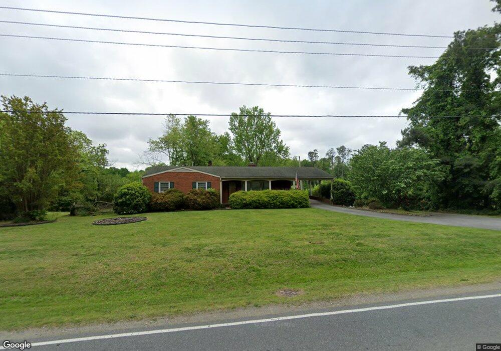
1304 Baker Rd High Point, NC 27263
Greater High Point NeighborhoodEstimated Value: $222,645 - $274,000
3
Beds
2
Baths
1,320
Sq Ft
$182/Sq Ft
Est. Value
About This Home
This home is located at 1304 Baker Rd, High Point, NC 27263 and is currently estimated at $240,411, approximately $182 per square foot. 1304 Baker Rd is a home located in Guilford County with nearby schools including Allen Jay Elementary School, Southern Guilford Middle, and Southern Guilford High School.
Ownership History
Date
Name
Owned For
Owner Type
Purchase Details
Closed on
Aug 27, 2014
Sold by
Loving Bobby Lee and Mabe Terri Loving
Bought by
Marxen Michael James and Marxen Crystal Ann
Current Estimated Value
Home Financials for this Owner
Home Financials are based on the most recent Mortgage that was taken out on this home.
Original Mortgage
$115,710
Outstanding Balance
$87,720
Interest Rate
4.19%
Mortgage Type
New Conventional
Estimated Equity
$152,691
Purchase Details
Closed on
May 3, 2011
Sold by
Loving Bobby Lee
Bought by
Mabe Terri Loving and Williard Cheri Loving
Create a Home Valuation Report for This Property
The Home Valuation Report is an in-depth analysis detailing your home's value as well as a comparison with similar homes in the area
Home Values in the Area
Average Home Value in this Area
Purchase History
| Date | Buyer | Sale Price | Title Company |
|---|---|---|---|
| Marxen Michael James | $122,000 | None Available | |
| Mabe Terri Loving | -- | None Available |
Source: Public Records
Mortgage History
| Date | Status | Borrower | Loan Amount |
|---|---|---|---|
| Open | Marxen Michael James | $115,710 |
Source: Public Records
Tax History
| Year | Tax Paid | Tax Assessment Tax Assessment Total Assessment is a certain percentage of the fair market value that is determined by local assessors to be the total taxable value of land and additions on the property. | Land | Improvement |
|---|---|---|---|---|
| 2025 | $1,699 | $123,300 | $18,700 | $104,600 |
| 2024 | $1,699 | $123,300 | $18,700 | $104,600 |
| 2023 | $1,699 | $123,300 | $18,700 | $104,600 |
| 2022 | $1,662 | $123,300 | $18,700 | $104,600 |
| 2021 | $1,669 | $121,100 | $16,500 | $104,600 |
| 2020 | $1,669 | $121,100 | $16,500 | $104,600 |
| 2019 | $1,669 | $121,100 | $0 | $0 |
| 2018 | $1,660 | $121,100 | $0 | $0 |
| 2017 | $1,660 | $121,100 | $0 | $0 |
| 2016 | $1,122 | $80,000 | $0 | $0 |
| 2015 | $1,128 | $80,000 | $0 | $0 |
| 2014 | $1,147 | $80,000 | $0 | $0 |
Source: Public Records
Map
Nearby Homes
- 914 Nance Ave
- 1105 E Springfield Rd
- 919 Belmont Dr
- 717 Belmont Dr
- 609 Martha Place
- 607 Martha Place
- 715 Baker Rd
- 2616 Ingram Rd
- 600 E Fairfield Rd
- 312 Model Farm Rd
- 335 Nathan Hunt Dr
- 206 E Moore Ave
- 206 Model Farm Rd
- 3630 Southpark Dr
- 1422 Valley Ridge Dr
- 1914 E Russell Ave
- 2814 Triangle Lake Rd
- 611 Liberty Rd
- 000 Liberty Rd
- 650 Wesley Dr
Your Personal Tour Guide
Ask me questions while you tour the home.