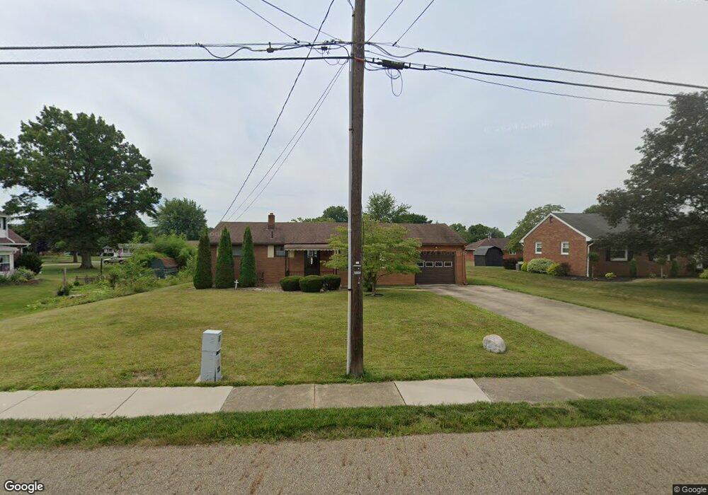
1306 E Broad St Louisville, OH 44641
Estimated Value: $174,752 - $219,000
2
Beds
2
Baths
975
Sq Ft
$197/Sq Ft
Est. Value
About This Home
This home is located at 1306 E Broad St, Louisville, OH 44641 and is currently estimated at $192,438, approximately $197 per square foot. 1306 E Broad St is a home located in Stark County with nearby schools including Louisville High School and St. Thomas Aquinas High School & Middle School.
Ownership History
Date
Name
Owned For
Owner Type
Purchase Details
Closed on
Mar 2, 2020
Sold by
Carden Edward J and Carden Jeannette N
Bought by
Carden Michael E and Carden Family Irrevocable Trust
Current Estimated Value
Purchase Details
Closed on
Aug 27, 2007
Sold by
Carden Edward J and Carden Jeannette N
Bought by
Carden Edward J and Carden Jeannette N
Create a Home Valuation Report for This Property
The Home Valuation Report is an in-depth analysis detailing your home's value as well as a comparison with similar homes in the area
Home Values in the Area
Average Home Value in this Area
Purchase History
| Date | Buyer | Sale Price | Title Company |
|---|---|---|---|
| Carden Michael E | -- | None Available | |
| Carden Edward J | -- | Attorney |
Source: Public Records
Tax History Compared to Growth
Tax History
| Year | Tax Paid | Tax Assessment Tax Assessment Total Assessment is a certain percentage of the fair market value that is determined by local assessors to be the total taxable value of land and additions on the property. | Land | Improvement |
|---|---|---|---|---|
| 2025 | -- | $47,680 | $15,510 | $32,170 |
| 2024 | -- | $47,680 | $15,510 | $32,170 |
| 2023 | $1,449 | $42,880 | $14,630 | $28,250 |
| 2022 | $736 | $42,880 | $14,630 | $28,250 |
| 2021 | $1,477 | $42,880 | $14,630 | $28,250 |
| 2020 | $1,182 | $38,400 | $13,200 | $25,200 |
| 2019 | $1,187 | $38,400 | $13,200 | $25,200 |
| 2018 | $1,182 | $38,400 | $13,200 | $25,200 |
| 2017 | $1,038 | $33,850 | $11,590 | $22,260 |
| 2016 | $1,059 | $33,850 | $11,590 | $22,260 |
| 2015 | $1,062 | $33,850 | $11,590 | $22,260 |
| 2014 | $934 | $29,260 | $10,010 | $19,250 |
| 2013 | $470 | $29,260 | $10,010 | $19,250 |
Source: Public Records
Map
Nearby Homes
- 308 Superior St
- 641 S Nickelplate St
- 520 S Silver St
- 728 E Broad St
- 1715 High St
- 0 Michigan Blvd
- 1812 E Broad St
- 204 E Broad St
- 107 E Broad St
- 325 Lincoln Ave
- 2015 E Main St
- 2110 Edmar St
- 1170 Winding Ridge Ave
- 908 Sand Lot Cir
- 910 Crosswyck Cir
- 428 Honeycrisp Dr NE
- 3047 Mcintosh Dr NE
- 432 Honeycrisp Dr NE
- 2962 Mcintosh Dr NE
- 2963 Mcintosh Dr NE
- 1300 E Broad St
- 509 Richards Dr
- 1311 High St
- 1305 High St
- 1216 E Broad St
- 1309 E Broad St
- 1303 E Broad St
- 1321 High St
- 1223 E Broad St
- 1219 High St
- 1321 E Broad St
- 1215 E Broad St
- 1327 E Broad St
- 506 Richards Dr
- 506 S Nickelplate St
- 1403 E Broad St
- 1405 High St
- 1306 Monter Ave
- 1312 Monter Ave
- 600 S Nickelplate St