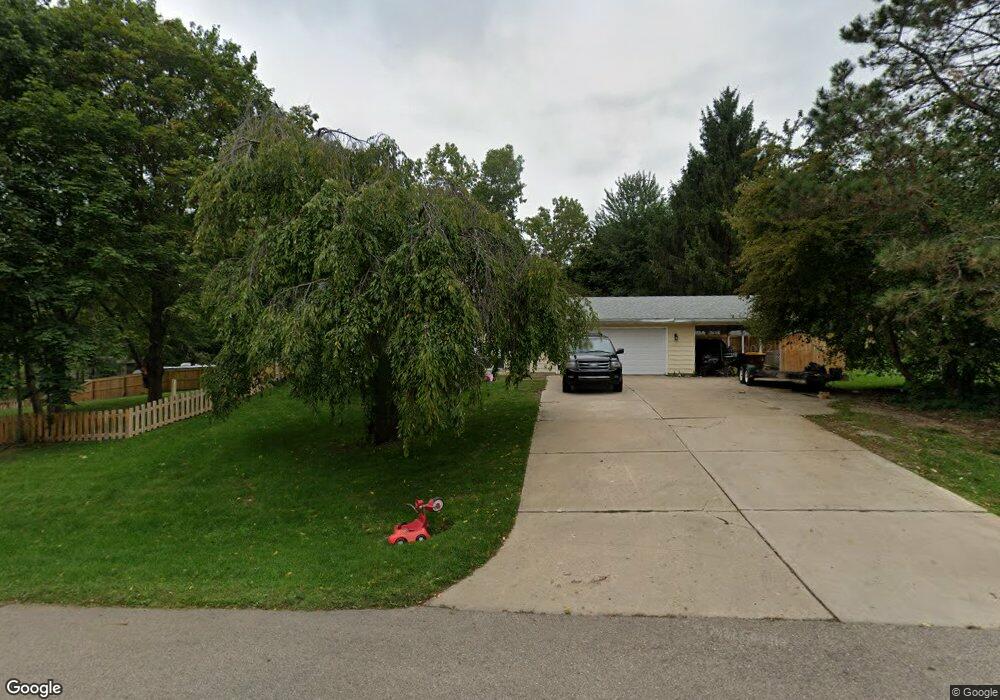
1306 Redpole Dr Dewitt, MI 48820
Estimated Value: $280,000 - $346,000
Studio
2
Baths
2,184
Sq Ft
$141/Sq Ft
Est. Value
About This Home
This home is located at 1306 Redpole Dr, Dewitt, MI 48820 and is currently estimated at $307,312, approximately $140 per square foot. 1306 Redpole Dr is a home located in Clinton County with nearby schools including Schavey Road Elementary School, Herbison Woods Elementary School, and Scott Elementary School.
Ownership History
Date
Name
Owned For
Owner Type
Purchase Details
Closed on
Sep 17, 2020
Sold by
Scott Bryan D and Scott Donna L
Bought by
Mullen Samuel and Mullen Bridgette
Current Estimated Value
Home Financials for this Owner
Home Financials are based on the most recent Mortgage that was taken out on this home.
Original Mortgage
$158,000
Outstanding Balance
$139,955
Interest Rate
2.8%
Mortgage Type
New Conventional
Estimated Equity
$167,358
Create a Home Valuation Report for This Property
The Home Valuation Report is an in-depth analysis detailing your home's value as well as a comparison with similar homes in the area
Home Values in the Area
Average Home Value in this Area
Purchase History
| Date | Buyer | Sale Price | Title Company |
|---|---|---|---|
| Mullen Samuel | $220,000 | Liberty Title |
Source: Public Records
Mortgage History
| Date | Status | Borrower | Loan Amount |
|---|---|---|---|
| Open | Mullen Samuel | $158,000 |
Source: Public Records
Tax History
| Year | Tax Paid | Tax Assessment Tax Assessment Total Assessment is a certain percentage of the fair market value that is determined by local assessors to be the total taxable value of land and additions on the property. | Land | Improvement |
|---|---|---|---|---|
| 2025 | -- | $131,000 | $23,000 | $108,000 |
| 2024 | $38 | $123,700 | $21,100 | $102,600 |
| 2023 | $4,002 | $114,300 | $0 | $0 |
| 2022 | $4,579 | $104,400 | $20,000 | $84,400 |
| 2021 | $4,439 | $98,100 | $19,000 | $79,100 |
| 2020 | $4,998 | $90,800 | $17,800 | $73,000 |
| 2019 | $5,043 | $84,800 | $17,800 | $67,000 |
| 2018 | $4,925 | $88,300 | $17,800 | $70,500 |
| 2017 | $5,301 | $86,500 | $16,600 | $69,900 |
| 2016 | $5,290 | $81,800 | $14,700 | $67,100 |
| 2015 | -- | $76,600 | $0 | $0 |
| 2011 | -- | $81,900 | $0 | $0 |
Source: Public Records
Map
Nearby Homes
- 1226 S Geneva Dr
- 1605 Stauffer Ln
- 3783 Wisteria Ln
- 3421 Hawthorne Woods Pkwy
- 3893 Sage Ln
- 4083 W Herbison Rd
- 00 Driftwood Dr
- 0 Driftwood Dr
- 13624 Sienna Pass
- 603 Cherry St
- 13894 Luroma Cir
- 3343 Silverspring Dr
- 13865 Kaleidoscope Dr
- 13871 Kaleidoscope Dr
- 11740 Kalamata Dr
- 11625 Murano Dr Unit 63
- 3535 Stanwood Dr
- 14013 Ambrosia Ave
- 2407 W Clark Rd
- 513 N Scott St
- 1508 Larkwood Dr
- 1304 Redpole Dr
- 1245 Longspur Dr
- 1414 Larkwood Dr
- 1309 Redpole Dr
- 1503 Larkwood Dr
- 1234 Redpole Dr
- 1241 Longspur Dr
- 1600 Larkwood Dr
- 1507 Larkwood Dr
- 1305 Redpole Dr
- 1410 Larkwood Dr
- 1421 Larkwood Dr
- 1601 Larkwood Dr
- 1301 Redpole Dr
- 1230 Redpole Dr
- 1237 Longspur Dr
- 1417 Larkwood Dr
- 1604 Larkwood Dr
- 1406 Larkwood Dr
Your Personal Tour Guide
Ask me questions while you tour the home.