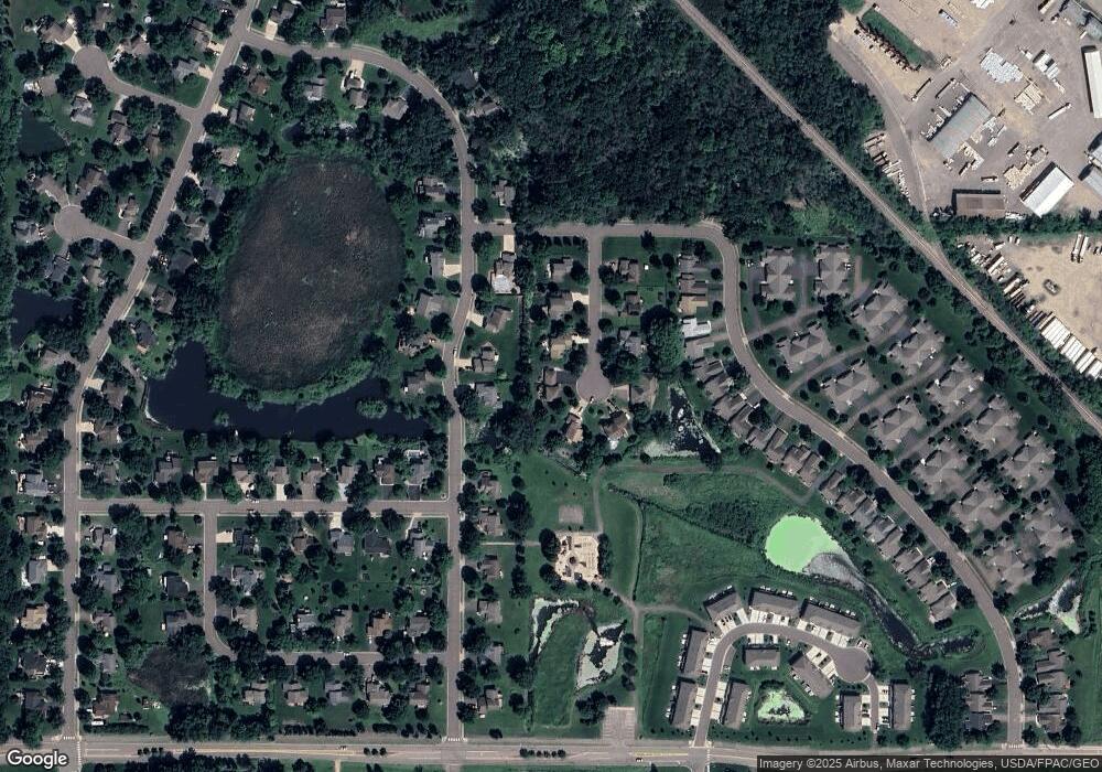
13073 Brookside Trail Rogers, MN 55374
Estimated Value: $435,000 - $486,000
4
Beds
4
Baths
1,963
Sq Ft
$235/Sq Ft
Est. Value
About This Home
This home is located at 13073 Brookside Trail, Rogers, MN 55374 and is currently estimated at $460,523, approximately $234 per square foot. 13073 Brookside Trail is a home located in Hennepin County with nearby schools including Rogers Elementary School, Rogers Middle School, and Rogers Senior High School.
Ownership History
Date
Name
Owned For
Owner Type
Purchase Details
Closed on
Jul 19, 2024
Sold by
Fessler Deirdre and Fessler Steven
Bought by
Ende Aaron
Current Estimated Value
Home Financials for this Owner
Home Financials are based on the most recent Mortgage that was taken out on this home.
Original Mortgage
$350,000
Outstanding Balance
$345,820
Interest Rate
6.99%
Mortgage Type
New Conventional
Estimated Equity
$114,703
Purchase Details
Closed on
Apr 17, 1998
Sold by
Sandcon Inc
Bought by
Ende Jeffrey A and Ende Deirdre D
Create a Home Valuation Report for This Property
The Home Valuation Report is an in-depth analysis detailing your home's value as well as a comparison with similar homes in the area
Home Values in the Area
Average Home Value in this Area
Purchase History
| Date | Buyer | Sale Price | Title Company |
|---|---|---|---|
| Ende Aaron | $350,000 | -- | |
| Ende Jeffrey A | $184,776 | -- | |
| Sandcon Inc | $36,900 | -- |
Source: Public Records
Mortgage History
| Date | Status | Borrower | Loan Amount |
|---|---|---|---|
| Open | Ende Aaron | $350,000 |
Source: Public Records
Tax History Compared to Growth
Tax History
| Year | Tax Paid | Tax Assessment Tax Assessment Total Assessment is a certain percentage of the fair market value that is determined by local assessors to be the total taxable value of land and additions on the property. | Land | Improvement |
|---|---|---|---|---|
| 2024 | $5,858 | $446,500 | $81,900 | $364,600 |
| 2023 | $5,771 | $457,700 | $86,100 | $371,600 |
| 2022 | $5,020 | $427,000 | $71,000 | $356,000 |
| 2021 | $4,661 | $363,000 | $62,000 | $301,000 |
| 2020 | $4,707 | $337,000 | $49,000 | $288,000 |
| 2019 | $4,329 | $324,000 | $42,000 | $282,000 |
| 2018 | $4,135 | $322,000 | $44,000 | $278,000 |
| 2017 | $4,001 | $283,000 | $44,000 | $239,000 |
| 2016 | $4,032 | $279,000 | $37,000 | $242,000 |
| 2015 | $4,146 | $275,000 | $47,000 | $228,000 |
| 2014 | -- | $254,000 | $37,000 | $217,000 |
Source: Public Records
Map
Nearby Homes
- 13070 Brookside Ln N
- 12905 Brenly Way
- 13046 Brookside Ln N
- 12984 Brookside Ln N
- 19600 104th Place
- Aspire Plan at Aster Mill - Inspiration
- Oakdale Plan at Aster Mill - Inspiration
- Newberry Plan at Aster Mill - Expressions
- Linwood Plan at Aster Mill - Expressions
- Crisfield Plan at Aster Mill - Inspiration
- Mercer Plan at Aster Mill - Expressions
- Bowman Plan at Aster Mill - Freedom
- Mitchell Plan at Aster Mill - Inspiration
- Hampton Plan at Aster Mill - Inspiration
- Waverly Plan at Aster Mill - Expressions
- Continental Plan at Aster Mill - Expressions
- Duncan Plan at Aster Mill - Freedom
- Ashton Plan at Aster Mill - Freedom
- 12719 Farnham Ln
- 12833 Sawyer Ln
- 13077 Brookside Trail
- 13067 Brookside Trail
- 13024 Gray Fox Trail
- 13046 Gray Fox Trail
- 13068 Brookside Trail
- 13085 Brookside Trail
- 13058 Gray Fox Trail
- 23037 Marie Place
- 12485 Rachael Dr
- 19497 102nd Place
- 19486 102nd Place
- 23028 Marie Place
- 19492 102nd Place
- 19480 102nd Place
- 19490 102nd Place
- 23156 Wood Ln
- 12596 Rachael Dr
- 22900 Wood Ln
- 23122 Wood Ln
- 19483 102nd Place
