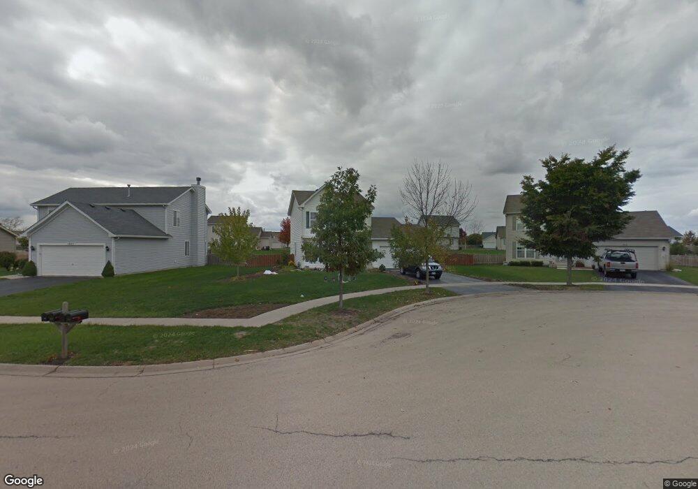
1309 Sherborn Ct N Minooka, IL 60447
Estimated Value: $296,760 - $330,000
3
Beds
3
Baths
1,558
Sq Ft
$201/Sq Ft
Est. Value
About This Home
This home is located at 1309 Sherborn Ct N, Minooka, IL 60447 and is currently estimated at $313,440, approximately $201 per square foot. 1309 Sherborn Ct N is a home located in Grundy County with nearby schools including Minooka Primary Center, Aux Sable Elementary School, and Minooka Junior High School.
Ownership History
Date
Name
Owned For
Owner Type
Purchase Details
Closed on
Mar 31, 2022
Sold by
Castro Joseph M and Castro Michelle
Bought by
Castro Joseph M
Current Estimated Value
Home Financials for this Owner
Home Financials are based on the most recent Mortgage that was taken out on this home.
Original Mortgage
$188,232
Outstanding Balance
$176,126
Interest Rate
3.89%
Mortgage Type
New Conventional
Estimated Equity
$137,314
Create a Home Valuation Report for This Property
The Home Valuation Report is an in-depth analysis detailing your home's value as well as a comparison with similar homes in the area
Purchase History
| Date | Buyer | Sale Price | Title Company |
|---|---|---|---|
| Castro Joseph M | -- | Fidelity National Title |
Source: Public Records
Mortgage History
| Date | Status | Borrower | Loan Amount |
|---|---|---|---|
| Open | Castro Joseph M | $188,232 |
Source: Public Records
Tax History
| Year | Tax Paid | Tax Assessment Tax Assessment Total Assessment is a certain percentage of the fair market value that is determined by local assessors to be the total taxable value of land and additions on the property. | Land | Improvement |
|---|---|---|---|---|
| 2024 | $6,568 | $81,880 | $11,060 | $70,820 |
| 2023 | $5,987 | $74,633 | $10,081 | $64,552 |
| 2022 | $5,085 | $69,393 | $9,373 | $60,020 |
| 2021 | $4,862 | $65,689 | $8,873 | $56,816 |
| 2020 | $4,737 | $62,838 | $8,488 | $54,350 |
| 2019 | $4,463 | $58,183 | $7,859 | $50,324 |
| 2018 | $4,106 | $52,850 | $7,771 | $45,079 |
| 2017 | $3,979 | $50,468 | $7,421 | $43,047 |
| 2016 | $3,705 | $47,374 | $6,966 | $40,408 |
| 2015 | $3,495 | $43,063 | $6,332 | $36,731 |
| 2014 | $3,532 | $48,724 | $11,150 | $37,574 |
| 2013 | $3,631 | $49,380 | $11,300 | $38,080 |
Source: Public Records
Map
Nearby Homes
- 1101 Burns Ln
- 1380 Dahlgren Ln
- 1420 Sherborn Ct S
- 1403 Fabiola Ct S
- 1315 Burns Ln
- 800 Maplewood Dr
- 1606 Donegal Dr
- 1509 Donegal Dr
- 655 Chestnut Ridge
- 526 Lily Ct
- 1952 Waters Edge Dr
- Lots 16,17,18 Waters Edge Dr
- 1502 Red Top Ln
- 1429 Levato Ln
- 807 Back Bay Ct
- 2048 Waters Edge Dr
- 2080 Waters Edge Dr
- 714 Joanne Dr
- 1138 Coneflower Ct
- 520 High Grove Dr
- 1305 Sherborn Ct N
- 1313 Sherborn Ct N
- 1383 Dahlgren Ln
- 1387 Dahlgren Ln
- 1301 Sherborn Ct N
- 1317 Sherborn Ct N
- 1379 Dahlgren Ln
- 1391 Dahlgren Ln
- 1304 Sherborn Ct N
- 1308 Sherborn Ct N
- 1371 Dahlgren Ln
- 1312 Sherborn Ct N
- 1316 Sherborn Ct N
- 1375 Dahlgren Ln
- 1300 Sherborn Ct N
- 1351 Dahlgren Ln
- 1384 Dahlgren Ln
- 1347 Dahlgren Ln
- 1401 Sherborn Ct S
- 1343 Dahlgren Ln
Your Personal Tour Guide
Ask me questions while you tour the home.