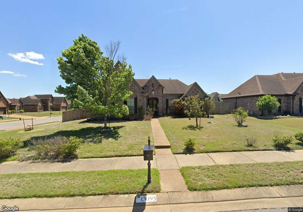
13095 Beech Branch Dr Olive Branch, MS 38654
Center Hill NeighborhoodEstimated Value: $309,628 - $347,000
3
Beds
2
Baths
1,950
Sq Ft
$167/Sq Ft
Est. Value
About This Home
This home is located at 13095 Beech Branch Dr, Olive Branch, MS 38654 and is currently estimated at $326,407, approximately $167 per square foot. 13095 Beech Branch Dr is a home located in DeSoto County with nearby schools including Overpark Elementary School, Center Hill High School, and Desoto Christian Academy.
Ownership History
Date
Name
Owned For
Owner Type
Purchase Details
Closed on
Jun 17, 2013
Sold by
Leader Five Star Homes Llc
Bought by
Uresti Randolph A
Current Estimated Value
Home Financials for this Owner
Home Financials are based on the most recent Mortgage that was taken out on this home.
Original Mortgage
$188,806
Outstanding Balance
$132,969
Interest Rate
3.42%
Mortgage Type
New Conventional
Estimated Equity
$193,438
Purchase Details
Closed on
Nov 26, 2012
Sold by
Oakhurst Development Inc
Bought by
Leader Five Star Homes Llc
Home Financials for this Owner
Home Financials are based on the most recent Mortgage that was taken out on this home.
Original Mortgage
$145,600
Interest Rate
3.4%
Mortgage Type
New Conventional
Create a Home Valuation Report for This Property
The Home Valuation Report is an in-depth analysis detailing your home's value as well as a comparison with similar homes in the area
Home Values in the Area
Average Home Value in this Area
Purchase History
| Date | Buyer | Sale Price | Title Company |
|---|---|---|---|
| Uresti Randolph A | -- | First National Financial Tit | |
| Leader Five Star Homes Llc | -- | None Available |
Source: Public Records
Mortgage History
| Date | Status | Borrower | Loan Amount |
|---|---|---|---|
| Open | Uresti Randolph A | $188,806 | |
| Previous Owner | Leader Five Star Homes Llc | $145,600 |
Source: Public Records
Tax History
| Year | Tax Paid | Tax Assessment Tax Assessment Total Assessment is a certain percentage of the fair market value that is determined by local assessors to be the total taxable value of land and additions on the property. | Land | Improvement |
|---|---|---|---|---|
| 2025 | $2,352 | $22,903 | $3,500 | $19,403 |
| 2024 | $2,004 | $16,881 | $3,500 | $13,381 |
| 2023 | $2,004 | $16,881 | $0 | $0 |
| 2022 | $2,048 | $17,206 | $3,500 | $13,706 |
| 2021 | $2,048 | $17,206 | $3,500 | $13,706 |
| 2020 | $1,310 | $16,102 | $3,500 | $12,602 |
| 2019 | $1,310 | $16,102 | $3,500 | $12,602 |
| 2017 | $1,269 | $27,666 | $15,583 | $12,083 |
| 2016 | $1,269 | $15,583 | $3,500 | $12,083 |
| 2015 | $1,569 | $27,666 | $15,583 | $12,083 |
| 2014 | $1,500 | $14,896 | $0 | $0 |
| 2013 | $397 | $3,938 | $0 | $0 |
Source: Public Records
Map
Nearby Homes
- 7090 Fox Creek Dr
- 7049 Windswept Ln
- 7331 Hunters Forest Dr
- 7397 Hunters Horn Dr
- 7462 Hunters Horn Dr
- 12760 Fox Bend Ln
- 6813 Braybourne Main
- 6568 Braybourne Main
- 6546 Braybourne Main
- 13881 Goodman Rd
- 6445 Braybourne Place
- 7247 Eastern Dr
- 6442 Sandbourne E
- 6430 Sandbourne E
- 13830 Wesley Banks Blvd
- 13820 Wesley Banks Blvd
- 7133 Stanley Dr
- 13837 Wesley Banks Blvd
- 13829 Wesley Banks Blvd
- 13939 Wesley Banks Blvd
- 13079 Beech Branch Dr
- 7177 Whittier Dr
- 7202 Whittier Dr
- 13067 Beech Branch Dr
- 7184 Whittier Dr
- 7161 Whittier Dr
- 7168 Whittier Dr
- 13053 Beech Branch Dr
- 13052 Cowee Cove
- 13066 Cowee Cove
- 7151 Whittier Dr
- 7158 Whittier Dr
- 7199 Carriebrook Dr
- 7183 Carriebrook Dr
- 13039 Beech Branch Dr
- 7167 Carriebrook Dr
- 7139 Whittier Dr
- 13038 Cowee Cove
- 7142 Whittier Dr
- 7157 Carriebrook Dr
Your Personal Tour Guide
Ask me questions while you tour the home.