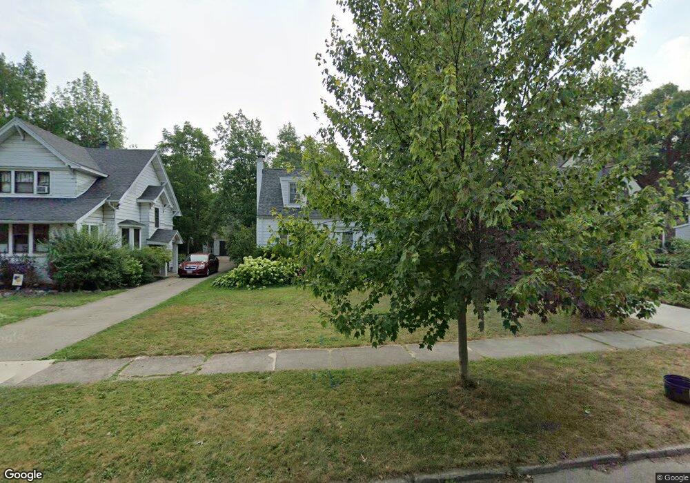
131 Burbank Dr Amherst, NY 14226
Snyder NeighborhoodEstimated Value: $396,437 - $477,000
3
Beds
2
Baths
1,831
Sq Ft
$238/Sq Ft
Est. Value
About This Home
This home is located at 131 Burbank Dr, Amherst, NY 14226 and is currently estimated at $435,609, approximately $237 per square foot. 131 Burbank Dr is a home located in Erie County with nearby schools including Smallwood Drive School, Amherst Middle School, and Amherst Central High School.
Create a Home Valuation Report for This Property
The Home Valuation Report is an in-depth analysis detailing your home's value as well as a comparison with similar homes in the area
Home Values in the Area
Average Home Value in this Area
Tax History
| Year | Tax Paid | Tax Assessment Tax Assessment Total Assessment is a certain percentage of the fair market value that is determined by local assessors to be the total taxable value of land and additions on the property. | Land | Improvement |
|---|---|---|---|---|
| 2025 | $8,238 | $375,000 | $55,000 | $320,000 |
| 2024 | $8,238 | $375,000 | $55,000 | $320,000 |
| 2023 | $8,035 | $220,000 | $50,000 | $170,000 |
| 2022 | $7,663 | $220,000 | $50,000 | $170,000 |
| 2021 | $7,654 | $220,000 | $50,000 | $170,000 |
| 2020 | $6,803 | $220,000 | $50,000 | $170,000 |
| 2019 | $6,674 | $220,000 | $50,000 | $170,000 |
| 2018 | $6,513 | $220,000 | $50,000 | $170,000 |
| 2017 | $2,556 | $220,000 | $50,000 | $170,000 |
| 2016 | $6,230 | $188,000 | $23,300 | $164,700 |
| 2015 | -- | $188,000 | $23,300 | $164,700 |
| 2014 | -- | $188,000 | $23,300 | $164,700 |
Source: Public Records
Map
Nearby Homes
- 87 Sargent Dr
- 4685 Main St
- 32 Bernhardt Dr Unit 5
- 32 Bernhardt Dr Unit 6
- 98 Bentham Pkwy
- 55 N Burbank Dr
- 171 Thistle Lea
- 25 Cranburne Ct
- 435 Park Club Ln
- 120 Westchester Rd
- 4835 Harlem Rd
- 20 Evanshire Ln
- 175 Mount Vernon Rd
- 4849 Harlem Rd
- 241 Kings Hwy
- 193 Huxley Dr
- 45 Thomas Jefferson Ln
- 117 Hamilton Dr
- 86 Cranburne Ln
- 207 Huxley Dr
Your Personal Tour Guide
Ask me questions while you tour the home.