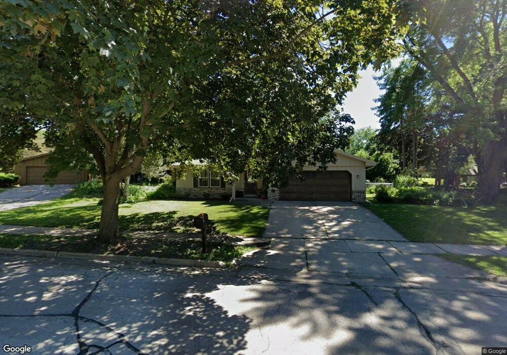
131 Debbie Ct Waukesha, WI 53189
Estimated Value: $345,000 - $391,000
3
Beds
2
Baths
1,649
Sq Ft
$227/Sq Ft
Est. Value
About This Home
This home is located at 131 Debbie Ct, Waukesha, WI 53189 and is currently estimated at $375,087, approximately $227 per square foot. 131 Debbie Ct is a home located in Waukesha County with nearby schools including Waukesha STEM Academy, Horning Middle School, and South High School.
Ownership History
Date
Name
Owned For
Owner Type
Purchase Details
Closed on
Apr 25, 2019
Sold by
Stewart Annette L and Montoya Jeremy
Bought by
Montoya Jeremy and Montoya Lindsey
Current Estimated Value
Home Financials for this Owner
Home Financials are based on the most recent Mortgage that was taken out on this home.
Original Mortgage
$227,260
Outstanding Balance
$198,570
Interest Rate
4%
Mortgage Type
VA
Estimated Equity
$176,517
Purchase Details
Closed on
Aug 25, 2003
Sold by
Stewart Annette Louise and Stewart Thomas
Bought by
Koch Mary Ann and Proehl Mary Ann
Create a Home Valuation Report for This Property
The Home Valuation Report is an in-depth analysis detailing your home's value as well as a comparison with similar homes in the area
Home Values in the Area
Average Home Value in this Area
Purchase History
| Date | Buyer | Sale Price | Title Company |
|---|---|---|---|
| Montoya Jeremy | $220,000 | None Available | |
| Koch Mary Ann | -- | -- |
Source: Public Records
Mortgage History
| Date | Status | Borrower | Loan Amount |
|---|---|---|---|
| Open | Montoya Jeremy | $227,260 |
Source: Public Records
Tax History Compared to Growth
Tax History
| Year | Tax Paid | Tax Assessment Tax Assessment Total Assessment is a certain percentage of the fair market value that is determined by local assessors to be the total taxable value of land and additions on the property. | Land | Improvement |
|---|---|---|---|---|
| 2024 | $4,492 | $285,500 | $66,900 | $218,600 |
| 2023 | $4,084 | $285,500 | $66,900 | $218,600 |
| 2022 | $3,796 | $200,000 | $58,500 | $141,500 |
| 2021 | $3,880 | $200,000 | $58,500 | $141,500 |
| 2020 | $3,758 | $200,000 | $58,500 | $141,500 |
| 2019 | $3,636 | $200,000 | $58,500 | $141,500 |
| 2018 | $3,714 | $199,300 | $56,600 | $142,700 |
| 2017 | $4,168 | $199,300 | $56,600 | $142,700 |
| 2016 | $3,801 | $191,600 | $56,600 | $135,000 |
| 2015 | $3,779 | $191,600 | $56,600 | $135,000 |
| 2014 | $3,693 | $184,200 | $56,600 | $127,600 |
| 2013 | $3,783 | $184,200 | $56,600 | $127,600 |
Source: Public Records
Map
Nearby Homes
- 1522 Big Bend Rd Unit G
- 1432 Big Bend Rd Unit E
- 1936 Cliff Alex Ct N
- 1438 Tenny Ave Unit 101
- The Sequoia Plan at Aspen Overlook
- The Sycamore Plan at Aspen Overlook
- 1436 Tenny Ave Unit 101
- 1430 Tenny Ave Unit 201
- 455 Standing Stone Dr
- 1432 Tenny Ave Unit 201
- 421 Standing Stone Dr Unit 17-39
- 424 Standing Stone Dr Unit 9-17
- 435 Standing Stone Dr Unit 16-37
- 414 Standing Stone Dr Unit 8-16
- 113 Coolidge Ave
- 644 Standing Stone Dr
- 616 Standing Stone Dr
- 605 Standing Stone Dr
- 609 Standing Stone Dr
- 625 Standing Stone Dr