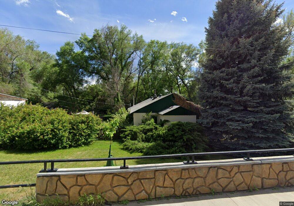
131 E 9th Ave Longmont, CO 80504
Kensington NeighborhoodEstimated Value: $408,089 - $526,000
3
Beds
1
Bath
1,340
Sq Ft
$342/Sq Ft
Est. Value
About This Home
This home is located at 131 E 9th Ave, Longmont, CO 80504 and is currently estimated at $458,522, approximately $342 per square foot. 131 E 9th Ave is a home located in Boulder County with nearby schools including Columbine Elementary School, Trail Ridge Middle School, and Skyline High School.
Ownership History
Date
Name
Owned For
Owner Type
Purchase Details
Closed on
Jul 18, 2013
Sold by
Dennhardt Mark A and Dennhardt Ruth M
Bought by
City Of Longmont
Current Estimated Value
Purchase Details
Closed on
Apr 2, 1987
Bought by
Dennhardt Mark A and Dennhardt Ruth M
Purchase Details
Closed on
Jan 12, 1987
Bought by
Dennhardt Mark A and Dennhardt Ruth M
Purchase Details
Closed on
Nov 26, 1979
Bought by
Dennhardt Mark A and Dennhardt Ruth M
Purchase Details
Closed on
Aug 3, 1977
Bought by
Dennhardt Mark A and Dennhardt Ruth M
Create a Home Valuation Report for This Property
The Home Valuation Report is an in-depth analysis detailing your home's value as well as a comparison with similar homes in the area
Home Values in the Area
Average Home Value in this Area
Purchase History
| Date | Buyer | Sale Price | Title Company |
|---|---|---|---|
| City Of Longmont | $2,500 | Heritage Title | |
| Dennhardt Mark A | $57,000 | -- | |
| Dennhardt Mark A | -- | -- | |
| Dennhardt Mark A | $58,500 | -- | |
| Dennhardt Mark A | $43,000 | -- |
Source: Public Records
Tax History Compared to Growth
Tax History
| Year | Tax Paid | Tax Assessment Tax Assessment Total Assessment is a certain percentage of the fair market value that is determined by local assessors to be the total taxable value of land and additions on the property. | Land | Improvement |
|---|---|---|---|---|
| 2025 | $2,209 | $25,232 | $10,344 | $14,888 |
| 2024 | $2,209 | $25,232 | $10,344 | $14,888 |
| 2023 | $2,179 | $23,095 | $11,357 | $15,423 |
| 2022 | $2,308 | $23,324 | $8,208 | $15,116 |
| 2021 | $2,338 | $23,995 | $8,444 | $15,551 |
| 2020 | $1,741 | $17,918 | $8,580 | $9,338 |
| 2019 | $1,713 | $17,918 | $8,580 | $9,338 |
| 2018 | $1,418 | $14,933 | $6,984 | $7,949 |
| 2017 | $1,399 | $16,509 | $7,721 | $8,788 |
| 2016 | $1,328 | $13,890 | $6,766 | $7,124 |
| 2015 | $1,265 | $9,934 | $2,945 | $6,989 |
| 2014 | $925 | $9,934 | $2,945 | $6,989 |
Source: Public Records
Map
Nearby Homes
- 28691 E 8th Ave
- 225 E 8th Ave Unit E20
- 225 E 8th Ave Unit A2
- 225 E 8th Ave Unit E10
- 845 Martin St
- 815 Hilltop St
- 641 Martin St
- 29 Marshall Place
- 1211 Meadow St
- 631 Buchanan Ln
- 741 Elliott St
- 262 E 5th Ave
- 830 Emery St
- 836 Emery St
- 811 Brookside Dr
- 247 Wadsworth Cir
- 36 Reed Place
- 1226 Atwood St
- 756 Brookside Dr
- 736 Kimbark St
- 145 E 9th Ave
- 813 Rees Ct
- 816 Rees Ct
- 121 E 9th Ave
- 807 Rees Ct
- 117 Chinook Place
- 136 E 8th Ave Unit 1-3
- 113 Chinook Place
- 833 Lashley St
- 839 Lashley St
- 121 Chinook Place
- 827 Lashley St
- 801 Rees Ct
- 140 E 8th Ave
- 821 Lashley St
- 125 Chinook Place
- 815 Lashley St
- 109 Chinook Place
- 809 Lashley St
- 777 Rees Ct