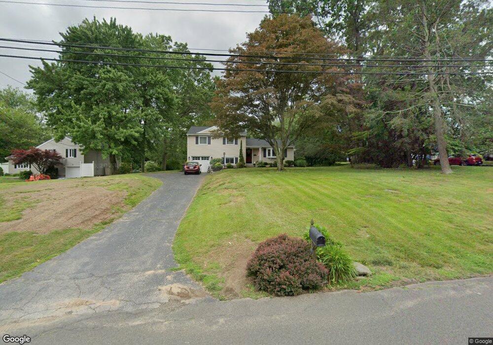
131 Farist Rd Fairfield, CT 06825
Fairfield Woods NeighborhoodEstimated Value: $638,000 - $766,000
3
Beds
3
Baths
1,593
Sq Ft
$437/Sq Ft
Est. Value
About This Home
This home is located at 131 Farist Rd, Fairfield, CT 06825 and is currently estimated at $696,520, approximately $437 per square foot. 131 Farist Rd is a home located in Fairfield County with nearby schools including Jennings Elementary School, Fairfield Woods Middle School, and Fairfield Warde High School.
Ownership History
Date
Name
Owned For
Owner Type
Purchase Details
Closed on
Nov 21, 2007
Sold by
Rubenstein Myrna E
Bought by
Grammatico Kristen and Grammatico John
Current Estimated Value
Home Financials for this Owner
Home Financials are based on the most recent Mortgage that was taken out on this home.
Original Mortgage
$368,000
Interest Rate
6.42%
Create a Home Valuation Report for This Property
The Home Valuation Report is an in-depth analysis detailing your home's value as well as a comparison with similar homes in the area
Home Values in the Area
Average Home Value in this Area
Purchase History
| Date | Buyer | Sale Price | Title Company |
|---|---|---|---|
| Grammatico Kristen | $460,000 | -- | |
| Grammatico Kristen | $460,000 | -- |
Source: Public Records
Mortgage History
| Date | Status | Borrower | Loan Amount |
|---|---|---|---|
| Open | Grammatico Kristen | $27,300 | |
| Open | Grammatico Kristen | $357,100 | |
| Closed | Grammatico Kristen | $368,000 |
Source: Public Records
Tax History
| Year | Tax Paid | Tax Assessment Tax Assessment Total Assessment is a certain percentage of the fair market value that is determined by local assessors to be the total taxable value of land and additions on the property. | Land | Improvement |
|---|---|---|---|---|
| 2025 | $9,165 | $322,840 | $247,870 | $74,970 |
| 2024 | $9,007 | $322,840 | $247,870 | $74,970 |
| 2023 | $8,881 | $322,840 | $247,870 | $74,970 |
| 2022 | $8,794 | $322,840 | $247,870 | $74,970 |
| 2021 | $8,710 | $322,840 | $247,870 | $74,970 |
| 2020 | $7,786 | $290,640 | $212,940 | $77,700 |
| 2019 | $7,786 | $290,640 | $212,940 | $77,700 |
| 2018 | $7,661 | $290,640 | $212,940 | $77,700 |
| 2017 | $7,504 | $290,640 | $212,940 | $77,700 |
| 2016 | $7,397 | $290,640 | $212,940 | $77,700 |
| 2015 | $7,158 | $288,750 | $224,630 | $64,120 |
| 2014 | $7,046 | $288,750 | $224,630 | $64,120 |
Source: Public Records
Map
Nearby Homes
- 164 Farist Rd
- 217 Fairland Dr
- 106 Stillson Rd
- 109 Katona Dr Unit 18
- 31 High Ridge Rd
- 706 Judd St
- 12 Sugar Plum Ln
- 1 Garden Dr
- 210 Pansy Rd
- 376 Knapps Hwy
- 774 Fairfield Woods Rd
- 115 Mayfair Rd
- 100 Tuller Rd
- 11 Tuckahoe Ln
- 21 Boroskey Rd
- 41 Pepperbush Ln
- 108 Roseville St
- 183 Vesper St
- 245 Reid St
- 28 Country Rd
Your Personal Tour Guide
Ask me questions while you tour the home.