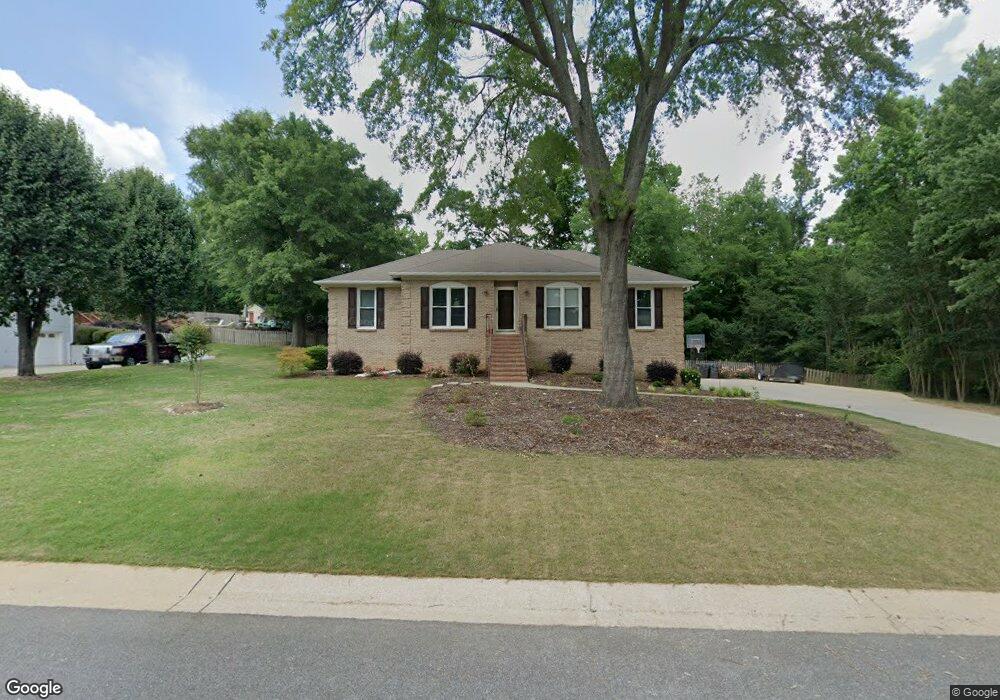
131 Mallard Pointe Dr Pelham, AL 35124
Estimated Value: $319,000 - $391,000
--
Bed
2
Baths
2,556
Sq Ft
$137/Sq Ft
Est. Value
About This Home
This home is located at 131 Mallard Pointe Dr, Pelham, AL 35124 and is currently estimated at $349,317, approximately $136 per square foot. 131 Mallard Pointe Dr is a home located in Shelby County with nearby schools including Pelham Oaks Elementary School, Pelham Park Middle School, and Pelham High School.
Ownership History
Date
Name
Owned For
Owner Type
Purchase Details
Closed on
Dec 2, 2010
Sold by
Scott David Richard and Scott Jan P
Bought by
Scott Richard and Scott Jan P
Current Estimated Value
Home Financials for this Owner
Home Financials are based on the most recent Mortgage that was taken out on this home.
Original Mortgage
$167,000
Interest Rate
4.31%
Mortgage Type
New Conventional
Purchase Details
Closed on
Apr 13, 2000
Sold by
Scott Rita Janan Pilgreen
Bought by
Scott David Richard
Purchase Details
Closed on
Aug 2, 1999
Sold by
Scott Rita Janan Pilgreen
Bought by
Scott David Richard
Create a Home Valuation Report for This Property
The Home Valuation Report is an in-depth analysis detailing your home's value as well as a comparison with similar homes in the area
Home Values in the Area
Average Home Value in this Area
Purchase History
| Date | Buyer | Sale Price | Title Company |
|---|---|---|---|
| Scott Richard | -- | None Available | |
| Scott David Richard | -- | -- | |
| Scott David Richard | -- | -- |
Source: Public Records
Mortgage History
| Date | Status | Borrower | Loan Amount |
|---|---|---|---|
| Closed | Scott Richard | $167,000 |
Source: Public Records
Tax History Compared to Growth
Tax History
| Year | Tax Paid | Tax Assessment Tax Assessment Total Assessment is a certain percentage of the fair market value that is determined by local assessors to be the total taxable value of land and additions on the property. | Land | Improvement |
|---|---|---|---|---|
| 2024 | $1,616 | $27,860 | $0 | $0 |
| 2023 | $1,265 | $25,680 | $0 | $0 |
| 2022 | $1,265 | $24,860 | $0 | $0 |
| 2021 | $1,403 | $24,900 | $0 | $0 |
| 2020 | $1,155 | $20,620 | $0 | $0 |
| 2019 | $1,112 | $19,880 | $0 | $0 |
| 2017 | $1,110 | $19,840 | $0 | $0 |
| 2015 | $1,067 | $19,100 | $0 | $0 |
| 2014 | $1,040 | $18,640 | $0 | $0 |
Source: Public Records
Map
Nearby Homes
- 54 Huntmaster Ln
- 113 Pintail Dr
- 119 Pintail Dr
- 110 Eagle Cove Dr
- 32 Hunters Trace
- 157 Eagle Cove Dr
- 153 Silverleaf Dr
- 160 Hidden Creek Cove
- 1058 Highway 72
- 107 Hidden Creek Cove
- 319 Hidden Creek Trail
- 133 Hidden Creek Cir
- 192 Silverleaf Dr
- 405 Cambrian Ridge Dr
- 118 Hidden Creek Cir
- 311 Coales Branch Cir
- 308 Coales Branch Cir
- 105 Hampton Ln Unit 13
- 134 Hampton Lake Dr Unit 61 & 62
- 209 Calloway Ln
- 129 Mallard Pointe Cir
- 133 Mallard Pointe Dr
- 127 Mallard Cir
- 127 Mallard Cir
- 130 Mallard Pointe Dr
- 135 Mallard Pointe Dr
- 132 Mallard Pointe Dr
- 724 Highway 72
- 125 Mallard Cir
- 121 Mallard Pointe Dr
- 123 Mallard Cir
- 137 Mallard Pointe Dr
- 140 Mallard Pointe Dr
- 112 Mallard Pointe Dr
- 119 Mallard Pointe Dr
- 127 Mallard Pointe Dr
- 127 Mallard Pointe Dr
- 110 Mallard Pointe Dr
- 986 Highway 35
- 142 Mallard Pointe Dr