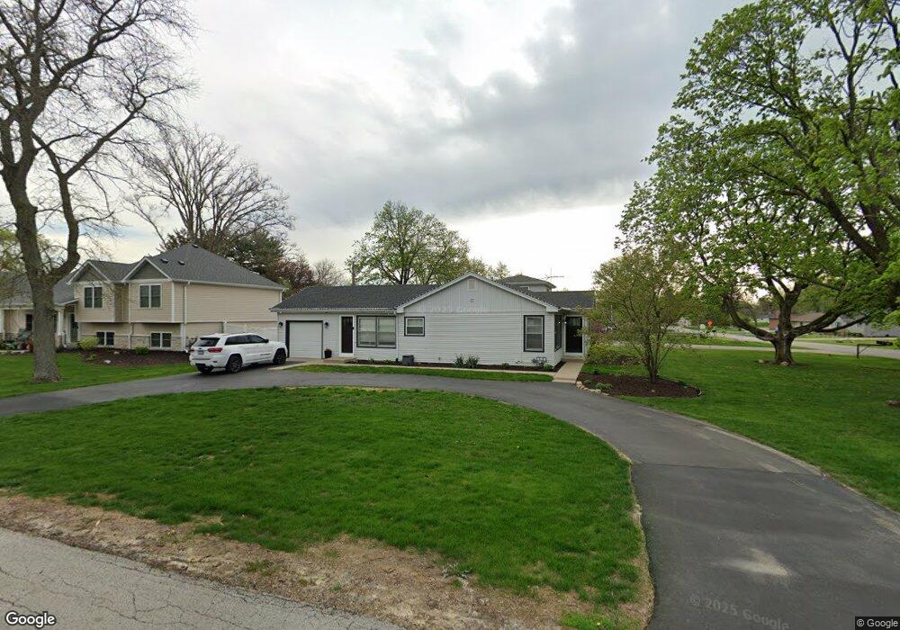
131 Maple Ln New Lenox, IL 60451
Estimated Value: $302,196
Studio
--
Bath
--
Sq Ft
20,038
Sq Ft Lot
About This Home
This home is located at 131 Maple Ln, New Lenox, IL 60451 and is currently priced at $302,196. 131 Maple Ln is a home located in Will County with nearby schools including Oster-Oakview School, Haines Elementary School, and Lincoln Way West.
Ownership History
Date
Name
Owned For
Owner Type
Purchase Details
Closed on
Apr 18, 2024
Sold by
Wasowicz Julie
Bought by
Bresnahan Melissa
Current Estimated Value
Home Financials for this Owner
Home Financials are based on the most recent Mortgage that was taken out on this home.
Original Mortgage
$265,500
Outstanding Balance
$261,585
Interest Rate
6.95%
Mortgage Type
New Conventional
Purchase Details
Closed on
Oct 29, 2020
Sold by
Stellwagen Brian J and Stellwagen Tonya H
Bought by
Wasowicz Julie
Purchase Details
Closed on
Dec 3, 2016
Sold by
Stellwagen Brian J and Stellwagen Tonya H
Bought by
Stellwagen Brian J and Stellwagen Tonya H
Purchase Details
Closed on
Nov 4, 2016
Sold by
Clemens Harry J and Revocab June
Bought by
Stellwagen Brian and Stellwagen Tonya
Purchase Details
Closed on
Feb 17, 2004
Sold by
Nlsb
Bought by
Clemens Harry J and Revocab June
Create a Home Valuation Report for This Property
The Home Valuation Report is an in-depth analysis detailing your home's value as well as a comparison with similar homes in the area
Home Values in the Area
Average Home Value in this Area
Purchase History
| Date | Buyer | Sale Price | Title Company |
|---|---|---|---|
| Bresnahan Melissa | $295,000 | Old Republic Title | |
| Wasowicz Julie | $195,000 | Fidelity National Title | |
| Stellwagen Brian J | -- | Attorney | |
| Stellwagen Brian | $175,000 | Atg | |
| Clemens Harry J | -- | -- |
Source: Public Records
Mortgage History
| Date | Status | Borrower | Loan Amount |
|---|---|---|---|
| Open | Bresnahan Melissa | $265,500 |
Source: Public Records
Tax History
| Year | Tax Paid | Tax Assessment Tax Assessment Total Assessment is a certain percentage of the fair market value that is determined by local assessors to be the total taxable value of land and additions on the property. | Land | Improvement |
|---|---|---|---|---|
| 2022 | $5,911 | $68,318 | $26,768 | $41,550 |
| 2021 | $5,631 | $64,250 | $25,174 | $39,076 |
| 2020 | $4,952 | $61,958 | $24,276 | $37,682 |
| 2019 | $4,732 | $60,037 | $23,523 | $36,514 |
| 2018 | $4,615 | $57,967 | $22,712 | $35,255 |
| 2017 | $4,378 | $56,300 | $22,059 | $34,241 |
| 2016 | $1,484 | $54,794 | $21,469 | $33,325 |
| 2015 | $1,506 | $53,069 | $20,793 | $32,276 |
| 2014 | $1,506 | $52,414 | $20,536 | $31,878 |
| 2013 | $1,506 | $53,121 | $20,813 | $32,308 |
Source: Public Records
Map
Nearby Homes
- 209 Linden Oaks Ln
- 1111 N Cedar Rd
- Lot 207 N Cedar Rd
- 225 E Francis Rd
- 338 Willow St
- 326 Old Hickory Rd
- 111 Oak St
- 380 N Cedar Rd
- 211 Manor Dr Unit 1
- 213 Manor Dr Unit 2
- 1301 Silver Cross Blvd
- Vacant W Maple St
- 404 Livingston Dr
- 625 Crescenzo Ct Unit B
- 0 N Cedar Rd
- 830 Wagon Dr
- 1605 S Regan Rd
- 328 E Lincoln Hwy
- 1500 Ramp
- 0 Silver Cross Blvd
Your Personal Tour Guide
Ask me questions while you tour the home.