Estimated Value: $245,000 - $411,000
2
Beds
2
Baths
1,118
Sq Ft
$293/Sq Ft
Est. Value
About This Home
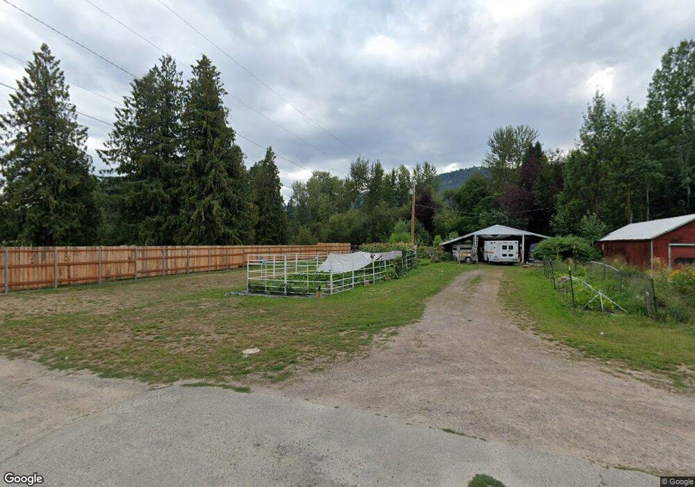
This home is located at 131 Riverside Ave, Troy, MT 59935 and is currently estimated at $327,175, approximately $292 per square foot. 131 Riverside Ave is a home with nearby schools including W.F. Morrison School, Troy Junior High School, and Troy High School.
Ownership History
Date
Name
Owned For
Owner Type
Purchase Details
Closed on
Nov 3, 2023
Sold by
Paul And Patricia Mammano Trust
Bought by
Mammano Paul Edward and Mammano Ruth
Current Estimated Value
Purchase Details
Closed on
Oct 30, 2023
Sold by
Walsh Brian and Walsh Laurie L
Bought by
Crossroads Holding Company Llc
Purchase Details
Closed on
Feb 8, 2023
Sold by
Davis Kenneth
Bought by
Kootenai Valley Partners
Purchase Details
Closed on
Dec 12, 2022
Sold by
Jellesed Neddie G
Bought by
Davis Kenneth and Davis Dixie
Create a Home Valuation Report for This Property
The Home Valuation Report is an in-depth analysis detailing your home's value as well as a comparison with similar homes in the area
Home Values in the Area
Average Home Value in this Area
Purchase History
| Date | Buyer | Sale Price | Title Company |
|---|---|---|---|
| Mammano Paul Edward | -- | None Listed On Document | |
| Crossroads Holding Company Llc | -- | Flying S Title & Escrow | |
| Kootenai Valley Partners | -- | Flying S Title And Escrow Of M | |
| Davis Kenneth | -- | -- |
Source: Public Records
Tax History Compared to Growth
Tax History
| Year | Tax Paid | Tax Assessment Tax Assessment Total Assessment is a certain percentage of the fair market value that is determined by local assessors to be the total taxable value of land and additions on the property. | Land | Improvement |
|---|---|---|---|---|
| 2025 | $1,543 | $332,000 | $0 | $0 |
| 2024 | $2,028 | $247,800 | $0 | $0 |
| 2023 | $270 | $24,958 | $0 | $0 |
| 2022 | $194 | $19,453 | $0 | $0 |
| 2021 | $219 | $19,453 | $0 | $0 |
| 2020 | $389 | $18,006 | $0 | $0 |
| 2019 | $389 | $18,323 | $0 | $0 |
| 2018 | $391 | $17,863 | $0 | $0 |
| 2017 | $193 | $17,863 | $0 | $0 |
| 2016 | $451 | $24,460 | $0 | $0 |
| 2015 | $231 | $24,460 | $0 | $0 |
| 2014 | $320 | $18,126 | $0 | $0 |
Source: Public Records
Map
Nearby Homes
- 708 N 3rd St
- 296 Riverside Ave
- 318 E Kootenai Ave
- 205 E Spokane Ave
- 0000 Obrien Creek Rd
- 106 N 6th St
- 209 Mineral Ave
- 206 Mineral Ave
- 514 Mineral Ave
- 707 E Grant Ave
- TBD Dent Ave
- Parcel A N Kootenai Dr
- Parcel B N Kootenai Dr
- 158 Twisted Branch Ln
- 1278 Hunts Mill Rd
- 687 Iron Creek Rd
- 12437 Us Highway 2
- NHN Little Bear Loop
- Lot 1 River Rd
- 16995 Us Highway 2
- 159 Riverside Ave
- 705 4th St
- 626 N 3rd St
- 709 N 4th St
- 616 N 3rd St
- 612 N 3rd St
- 710 N 3rd St
- 100 Riverside Ave
- 712 N 3rd St
- 120 Highway 2 N
- 703 N 3rd St
- 235 Riverside Ave
- LOT 4 Millsite Troy Lincoln Co
- 707 N 3rd St
- LOT 3 Millsite Troy Lincoln Co
- 267 Riverside Ave
- 208 E Riverside Ave
- 176 Mill Rd
- 281 Riverside Ave
- 276 Riverside Ave