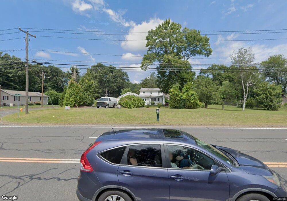
131 Shaker Rd Enfield, CT 06082
Estimated Value: $201,000 - $293,360
4
Beds
1
Bath
1,234
Sq Ft
$200/Sq Ft
Est. Value
About This Home
4 Bedrooms 1 Bath 2 Car Garage with openers. Hardwood floors. Large shed with power. Sunroom
Large Yard.
No pets allowed.
Ownership History
Date
Name
Owned For
Owner Type
Purchase Details
Closed on
Dec 7, 2020
Sold by
Locke Timothy E and Locke Paul A
Bought by
Thomas David J and Thomas-Alcala Karla C
Current Estimated Value
Home Financials for this Owner
Home Financials are based on the most recent Mortgage that was taken out on this home.
Original Mortgage
$97,750
Outstanding Balance
$87,182
Interest Rate
2.8%
Mortgage Type
New Conventional
Estimated Equity
$159,908
Create a Home Valuation Report for This Property
The Home Valuation Report is an in-depth analysis detailing your home's value as well as a comparison with similar homes in the area
Home Values in the Area
Average Home Value in this Area
Purchase History
| Date | Buyer | Sale Price | Title Company |
|---|---|---|---|
| Thomas David J | $115,000 | None Available |
Source: Public Records
Mortgage History
| Date | Status | Borrower | Loan Amount |
|---|---|---|---|
| Open | Thomas David J | $97,750 |
Source: Public Records
Property History
| Date | Event | Price | List to Sale | Price per Sq Ft |
|---|---|---|---|---|
| 11/28/2025 11/28/25 | Off Market | $2,200 | -- | -- |
| 11/08/2025 11/08/25 | Price Changed | $2,200 | 0.0% | $2 / Sq Ft |
| 11/08/2025 11/08/25 | For Rent | $2,200 | +4.8% | -- |
| 12/07/2024 12/07/24 | Off Market | $2,100 | -- | -- |
| 12/02/2024 12/02/24 | For Rent | $2,100 | -- | -- |
Tax History
| Year | Tax Paid | Tax Assessment Tax Assessment Total Assessment is a certain percentage of the fair market value that is determined by local assessors to be the total taxable value of land and additions on the property. | Land | Improvement |
|---|---|---|---|---|
| 2025 | $4,725 | $133,100 | $51,100 | $82,000 |
| 2024 | $4,600 | $133,100 | $51,100 | $82,000 |
| 2023 | $4,573 | $133,100 | $51,100 | $82,000 |
| 2022 | $4,211 | $133,100 | $51,100 | $82,000 |
| 2021 | $4,077 | $105,530 | $42,320 | $63,210 |
| 2020 | $4,034 | $105,530 | $42,320 | $63,210 |
| 2019 | $3,929 | $105,530 | $42,320 | $63,210 |
| 2018 | $3,841 | $105,530 | $42,320 | $63,210 |
| 2017 | $3,633 | $105,530 | $42,320 | $63,210 |
| 2016 | $3,649 | $110,030 | $46,550 | $63,480 |
| 2015 | $3,542 | $110,030 | $46,550 | $63,480 |
| 2014 | $3,458 | $110,030 | $46,550 | $63,480 |
Source: Public Records
Map
Nearby Homes
- 32 Jondot Dr
- 242 Elm St
- 60 Liberty Ln
- 42 Liberty Ln
- 50 Liberty Ln
- 59 Liberty Ln
- 44 Liberty Ln
- 39 Liberty Ln
- 54 Liberty Ln
- 56 Liberty Ln
- 46 Liberty Ln
- 43 Liberty Ln
- 41 Liberty Ln
- 5 Cranberry Hollow Unit 5
- 14 W Forrest Dr
- 176 Cottage Rd
- E6 Bradley Cir Unit 6
- 11 Bradley Cir Unit A
- 56 N Maple St
- 55 Elm Meadows Unit 55